
SAN BRUNO: THE AIRPORT CITY
Updated November 9, 2026

SAN BRUNO: THE AIRPORT CITY
San Bruno is a San Mateo County city immediately west of San Francisco International Airport, with established residential neighborhoods, hillside housing, BART and Caltrain service, commercial corridors, office districts, and direct access to several major Peninsula roadways. Housing ranges from older detached homes and postwar subdivisions to condominiums, townhomes, apartments, and properties on elevated terrain.
📝 Introduction
San Bruno incorporated in 1914 after residential development accelerated following the 1906 San Francisco earthquake and fire. Its later growth became closely connected with transportation, including El Camino Real, the railroad, nearby San Francisco International Airport, and regional freeways. Today, San Bruno combines established residential areas with downtown businesses, the Bayhill employment district, transit-oriented planning areas, and western neighborhoods that rise toward Sweeney Ridge.
📍 What Defines San Bruno
- San Bruno's location immediately west of San Francisco International Airport is the basis for its long-standing "Airport City" nickname.
- BART and Caltrain both serve San Bruno, while Interstate 280, Interstate 380, U.S. 101, and El Camino Real provide additional regional connections.
- San Mateo Avenue, San Bruno Avenue, El Camino Real, and the Caltrain station area form part of the City's Transit Corridors planning area, where development standards support housing, commercial activity, transportation connections, and pedestrian improvements.
- The Bayhill district contains one of San Bruno's largest concentrations of office space and includes YouTube's headquarters, along with an adopted Specific Plan for future office, residential, commercial, hotel, civic, and open-space development.
- Western San Bruno rises toward foothills and open land, creating residential settings with different elevations, road patterns, drainage conditions, vegetation, and access to regional trails.
🎉 Fun Fact
San Bruno has a long transportation history beyond the nearby airport. The City's historical records note that El Camino Real in San Bruno became California's first paved state highway in 1912. Tanforan also played an early role in aviation before later becoming a racetrack, wartime detention site, and shopping center.
🏡 Residential Setting and Housing
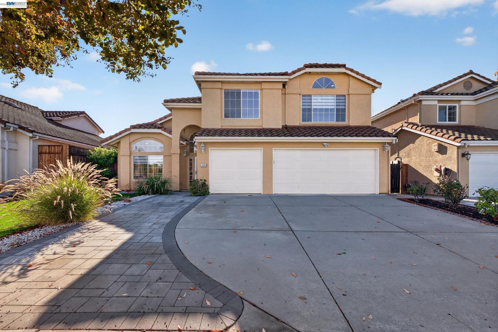
- Older Detached Homes: San Bruno contains detached houses built during several periods of development, including residences near central neighborhoods and downtown. Construction age, architectural details, original floor plans, additions, lot configuration, and renovation history can vary considerably.
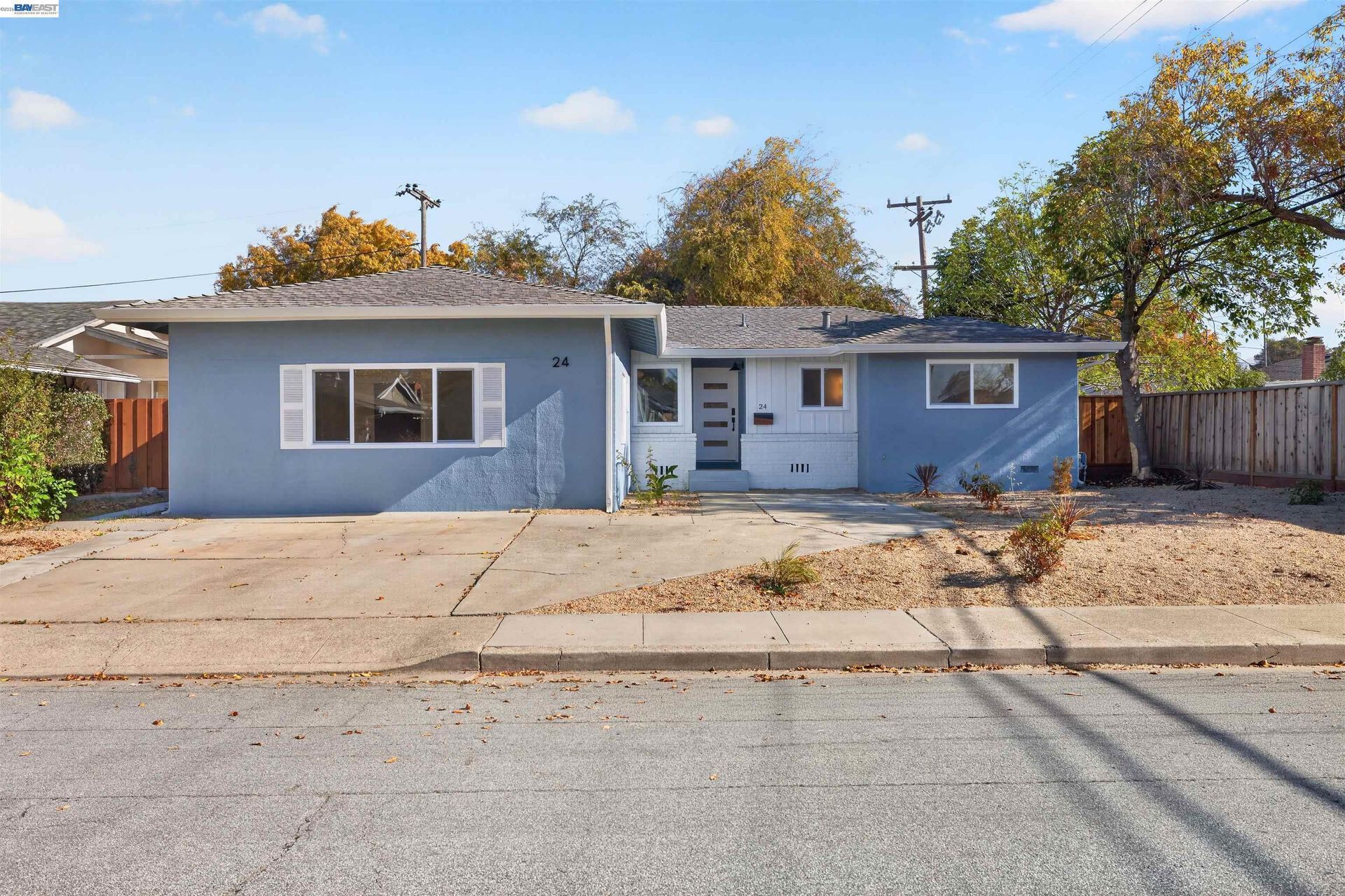
- Postwar Detached Homes: Many residential streets contain houses built during the decades following World War II. Later additions, garage changes, accessory structures, landscaping, and interior remodeling have created differences among homes that originally shared similar development patterns.
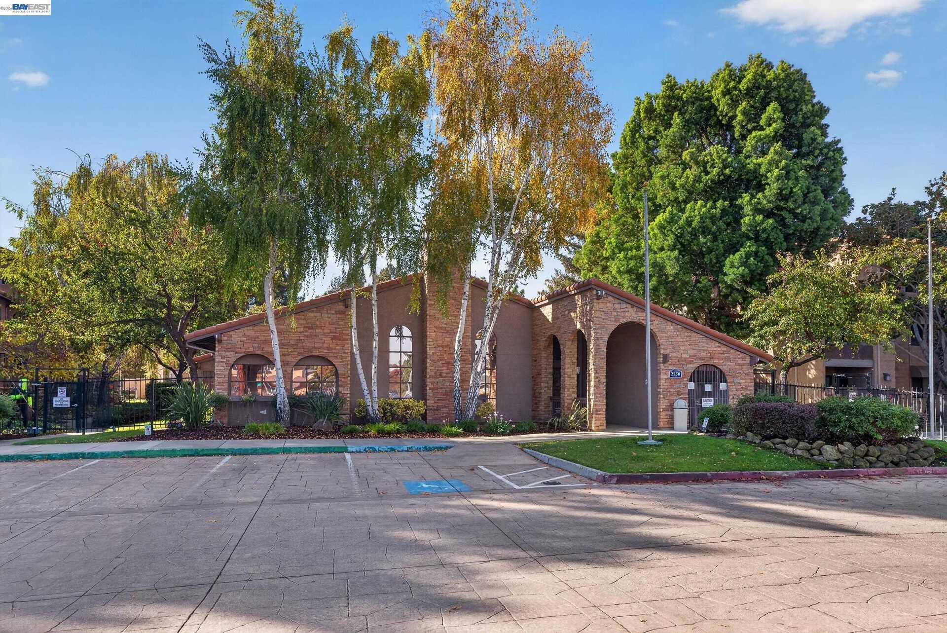
- Condominiums and Townhomes: Attached ownership housing is found throughout San Bruno, particularly near central areas, transportation corridors, and larger planned developments. Homeowners association finances, insurance, reserves, parking, common areas, and maintenance responsibilities can differ by property.
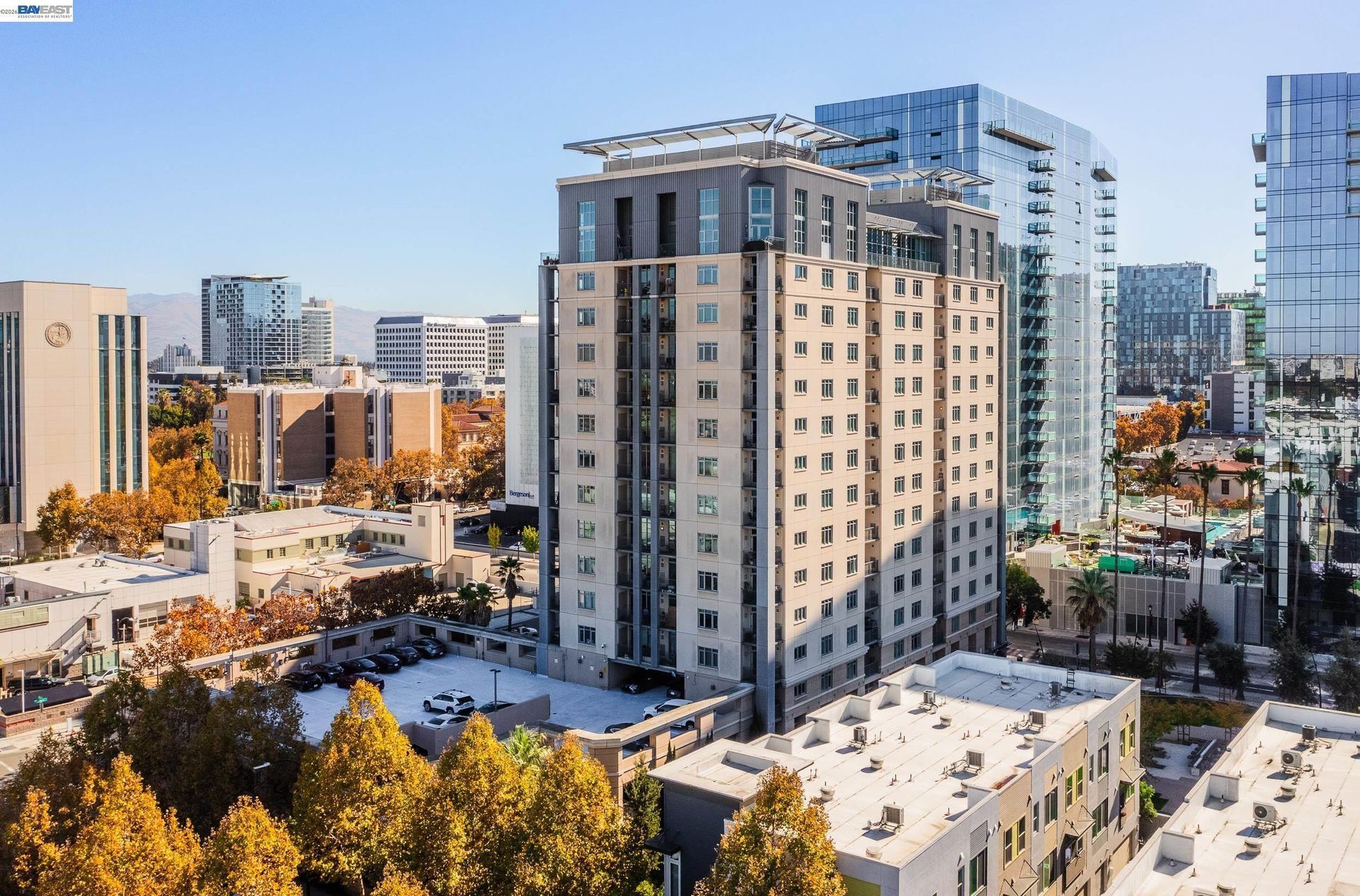
- Apartments and Multifamily Housing: Apartments and other multifamily properties are more common near downtown, El Camino Real, San Bruno Avenue, BART, Caltrain, and other areas with mixed residential and commercial development.
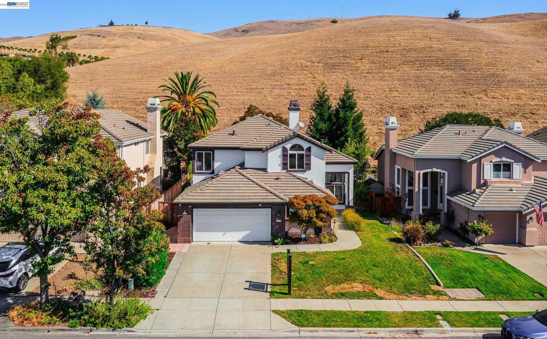
- Hillside and Elevated Properties: Western San Bruno contains homes on sloped and elevated terrain where drainage, retaining structures, foundations, driveway grade, vegetation, road configuration, and previous site improvements can require closer property-level review.
💼 Business and Employment Areas
- Bayhill District: The Bayhill Office Park is San Bruno's largest concentrated office area and includes YouTube's headquarters. The adopted Bayhill Specific Plan provides a long-term framework for additional office, residential, commercial, hotel, civic, and open-space uses.
- San Mateo Avenue and Downtown: Restaurants, professional services, retail businesses, personal services, and smaller commercial properties form the city's traditional central business area.
- Tanforan Area: The Tanforan property remains an important retail and transit location next to San Bruno BART. A major mixed-use redevelopment proposal remains within the City's review process, and future land uses should be described according to current approvals rather than assumed from the proposal.
- El Camino Real: Hotels, retail businesses, restaurants, automotive uses, offices, housing, and transit-oriented development extend along this major Peninsula corridor.
- Airport-Related Employment: San Francisco International Airport sits immediately east of San Bruno and supports a large concentration of aviation, hospitality, transportation, logistics, and service employment in the surrounding area.
📊 Real Estate Overview
San Bruno real estate covers several physical and development settings within a relatively small area. Detached homes dominate many established neighborhoods, while condominiums, townhomes, apartments, and multifamily buildings are more common near central corridors and larger developments. Property age, elevation, airport and freeway proximity, renovation history, zoning, parking, and surrounding land uses can create significant differences between individual homes.
Property Differences by Setting
- Homes in flatter central and eastern portions of San Bruno can differ from western hillside properties in lot configuration, street grade, drainage, retaining structures, foundation conditions, vegetation, and views. Construction period also matters because neighborhoods developed at different times and many older homes have undergone additions or substantial remodeling.
- Crestmoor, Portola Highlands, and other elevated settings can require closer review of grading, drainage, retaining walls, driveway access, vegetation, and previous site improvements. Comparable sales are generally more informative when the properties have similar terrain and site conditions rather than simply similar interior square footage.
- Condominiums, townhomes, and multifamily properties near central San Bruno, Bayhill, or major transportation corridors can involve homeowners association obligations, shared maintenance, parking arrangements, insurance, and different relationships to commercial or transit activity.
Development and Land Use Context
- San Bruno's planning framework varies by location. The Transit Corridors Plan applies around San Bruno Avenue, El Camino Real, San Mateo Avenue, and the Caltrain station, while the adopted Bayhill Specific Plan guides future development within the Bayhill district. Development standards, building height, parking, land use, and nearby projects can therefore differ between these areas and established residential neighborhoods.
- Tanforan is subject to a separate redevelopment proposal. Buyers and sellers near Tanforan, Bayhill, downtown, or other active planning areas should review current City approvals and project information for the specific property.
🌳 Parks, Trails and Local Attractions
- San Bruno City Park: The City's largest park contains playgrounds, picnic areas, sports facilities, tennis courts, a walking track, and the Recreation and Aquatic Center, which provides indoor and outdoor pools, fitness facilities, meeting rooms, and a gymnasium.
- Junipero Serra County Park: Located in the hills above San Bruno, this San Mateo County park contains trails, picnic areas, creek and woodland environments, and elevated views across the surrounding Peninsula.
- Sweeney Ridge and Sneath Lane Trail: The western end of Sneath Lane provides access toward Sweeney Ridge, part of Golden Gate National Recreation Area, where trails cross elevated grassland between San Bruno and Pacifica.
- San Andreas and Crystal Springs Trail Access: Trail connections near Skyline Boulevard provide another recreation setting along the western side of San Bruno and the Peninsula watershed area.
- Tanforan Memorial: Located outside the San Bruno BART station, the memorial documents the wartime incarceration of nearly 8,000 Japanese Americans at the former Tanforan Assembly Center and preserves an important part of the site's history.
🏘️ Residential Settings Across San Bruno
- Mills Park: Established postwar housing occupies comparatively regular residential streets near San Bruno City Park, central San Bruno, and major transportation corridors.
- Huntington Park: Older residential blocks are located closer to downtown businesses, San Mateo Avenue, BART, Caltrain, and the Tanforan area.
- Crestmoor: Residential streets rise into western San Bruno, where elevation, winding roads, drainage, vegetation, retaining structures, and property construction history can create different site conditions from lower parts of the city.
- Portola Highlands: Elevated residential streets sit closer to Sweeney Ridge and open land, with changing grades, vegetation, road configuration, and access toward western trails.
- Central and Transit Corridor Areas: Housing near downtown, El Camino Real, San Bruno Avenue, and the Caltrain station includes a broader mix of detached homes, condominiums, apartments, attached housing, and newer development than many interior subdivisions.
🚆 Transportation and Regional Access
- Interstate 280 provides a major north and south freeway route along the western side of San Bruno.
- Interstate 380 links Interstate 280 with U.S. 101 and provides one of the primary road connections toward San Francisco International Airport.
- San Bruno BART Station on Huntington Avenue provides rail service toward San Francisco, SFO, Millbrae, and other Bay Area destinations.
- San Bruno Caltrain Station provides regional Peninsula rail service between San Francisco and communities farther south.
- SamTrans routes serving San Bruno provide connections along El Camino Real, toward BART, San Francisco International Airport, and other Peninsula destinations.
📚 Schools and Education
- Capuchino High School: The San Bruno campus offers academic coursework together with the International Baccalaureate Programme, career and technical courses, computer science, visual and performing arts, athletics, and other secondary programs.
- Parkside Intermediate School: Parkside serves the district's intermediate grades and continues to enroll students for the 2026-2027 school year.
- Allen Elementary School: Allen is one of the elementary campuses currently operated by San Bruno Park School District.
- Belle Air Elementary School: Belle Air provides elementary education within the San Bruno Park School District and is one of the district's current school sites.
- John Muir Elementary School: John Muir serves elementary grades as part of the San Bruno Park School District's current campus network.
✅ What Can You Do?
For Buyers
- Compare hillside homes in Crestmoor or Portola Highlands separately from properties in Mills Park, Huntington Park, and central San Bruno because terrain, street layout, drainage, and lot conditions can differ substantially.
- Review airport noise information, freeway proximity, and transportation activity when evaluating properties closer to SFO, Interstate 380, U.S. 101, BART, Caltrain, or major commercial corridors.
- Check current City planning documents when considering property near Tanforan, Bayhill, downtown, or the Transit Corridors area because surrounding land uses and approved development standards can differ by location.
- Review permits and property records when an older San Bruno home contains additions, garage conversions, accessory dwelling units, structural work, or substantial remodeling.
- For condominiums and attached housing, examine homeowners association finances, reserves, insurance, parking, maintenance responsibilities, and any planned assessments before completing the purchase.
For Sellers
- Use comparable sales from the same San Bruno setting rather than comparing a western hillside property directly with a central detached home, transit-area condominium, or attached development.
- Gather permits and records for additions, accessory dwelling units, garage conversions, roofing, electrical work, foundation improvements, drainage work, solar systems, and major remodeling before marketing the property.
- For homes near BART, Caltrain, SFO, or major freeways, describe transportation access accurately without making assumptions about commute times or airport convenience.
- If the property is near Tanforan or Bayhill, use current City planning information when discussing surrounding development rather than relying on older commercial or redevelopment descriptions.
- Document drainage, retaining walls, foundation work, driveway improvements, and other site-related work when selling a property on elevated or irregular terrain.
❓ FAQ
Q: How do San Bruno neighborhoods differ from one another?
A: San Bruno ranges from relatively level central neighborhoods such as Mills Park and Huntington Park to elevated areas such as Crestmoor and Portola Highlands. Housing age, lot configuration, slope, drainage, road layout, and proximity to transportation corridors can vary considerably by location.
Q: What should buyers review when considering a hillside home in San Bruno?
A: Buyers should review drainage, grading, retaining structures, foundation conditions, driveway access, vegetation, permits, and previous site improvements when those conditions apply to the property.
Q: Why is current City planning important when evaluating San Bruno real estate?
A: Areas near Bayhill, Tanforan, downtown, and major transit corridors are subject to different planning frameworks and development activity. Current zoning, approved projects, and City planning documents can provide important context for an individual property.
🔚 Conclusion
San Bruno's real estate reflects its position between San Francisco International Airport, established Peninsula transportation corridors, central residential neighborhoods, and the western hills. Mills Park, Huntington Park, Crestmoor, Portola Highlands, downtown housing, and transit-oriented areas can differ in terrain, construction period, lot configuration, surrounding land uses, and planning considerations. Reviewing the individual property's records, site conditions, zoning, transportation setting, and nearby development provides a more useful basis for evaluating San Bruno real estate.
This blog is for general informational purposes only and does not constitute legal, tax, accounting, investment, or professional advice. Always consult with qualified professionals before making any decisions based on this content. School information including addresses, phone numbers, and emails was accurate as of the blog’s published date but may change without notice. Please verify directly with the school or institution. This content is provided “as is,” without warranties of any kind. If you are currently under an exclusive agreement with another real estate broker, this blog is not intended as a solicitation.
Contact Us