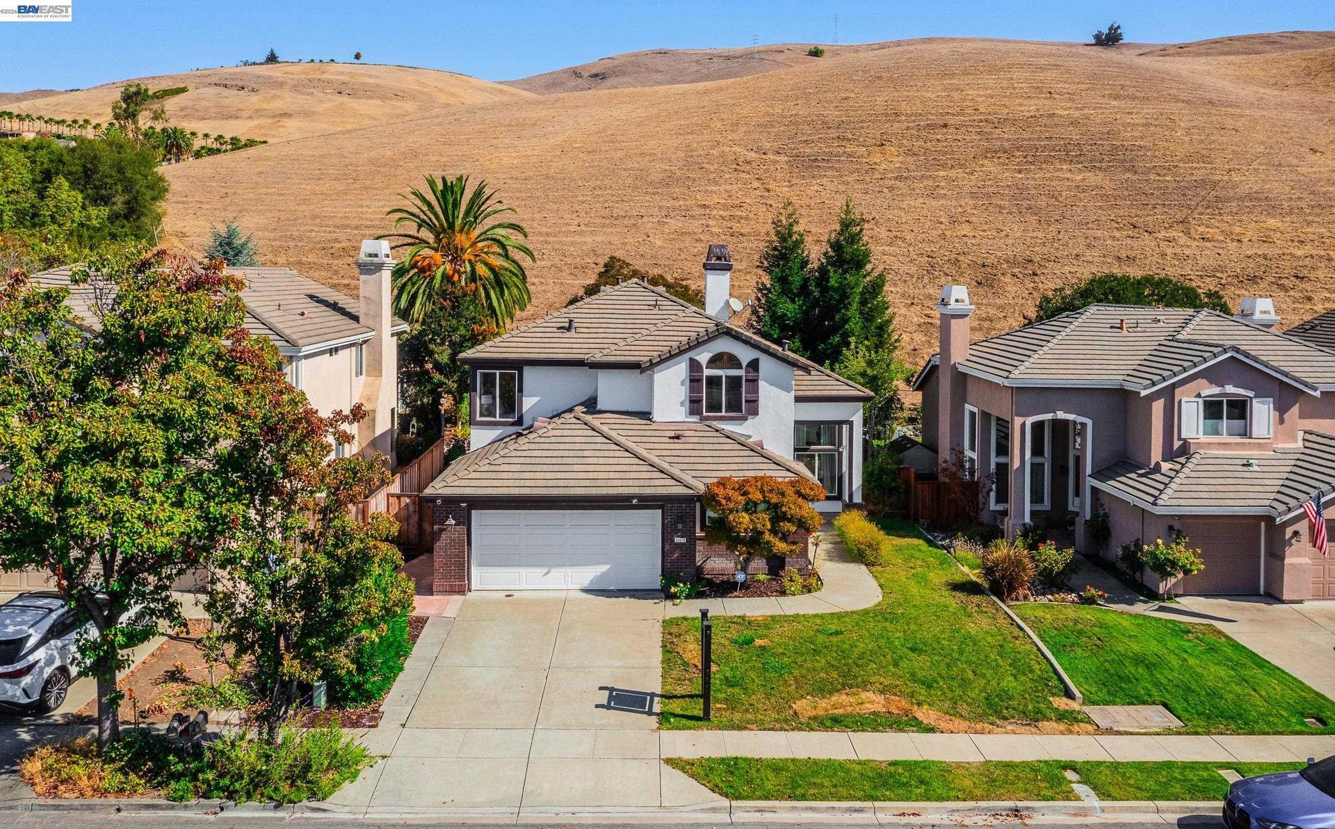

San Leandro: Gateway to Innovation
Updated November 9, 2026
San Leandro: Gateway to Innovation
San Leandro is an Alameda County city with two BART stations, established residential neighborhoods, a long industrial history, a San Francisco Bay shoreline, downtown businesses, and major transportation corridors. Housing ranges from early twentieth century residences and postwar subdivisions to condominiums, townhomes, multifamily properties, and newer housing near transit and redevelopment areas.
📝 Introduction
San Leandro developed first as an agricultural town and later as a major residential and industrial center in the inner East Bay. The city incorporated in 1872, and cherries became one of its most recognized agricultural products before postwar housing and industrial expansion changed much of the local landscape. Today, older neighborhoods near downtown and Estudillo Avenue sit alongside postwar subdivisions, employment districts, BART-served areas, and shoreline land undergoing long-term planning and development.
📍 What Defines San Leandro
- San Leandro's agricultural history remains visible through the Cherry Festival, which began in 1909 when cherry production was an important part of the local economy.
- San Leandro and Bay Fair BART stations provide regional rail service from two separate parts of the city.
- Older residential areas northeast of downtown contain housing from the early twentieth century, while large sections of southern and western San Leandro developed during the postwar period.
- Industrial and employment districts remain an important part of western San Leandro, where manufacturing, production, technology, distribution, medical, and other workplace uses occupy land near major transportation corridors.
- The San Leandro shoreline contains parks, Bay Trail connections, wetlands, golf facilities, and land included in long-term development planning.
🎉 Fun Fact
San Leandro became historically associated with the name "Cherry City" after cherry growing became an important part of the local agricultural economy. The first Cherry Festival was held in 1909, and the annual event continues in downtown San Leandro.
🏡 Residential Setting and Housing
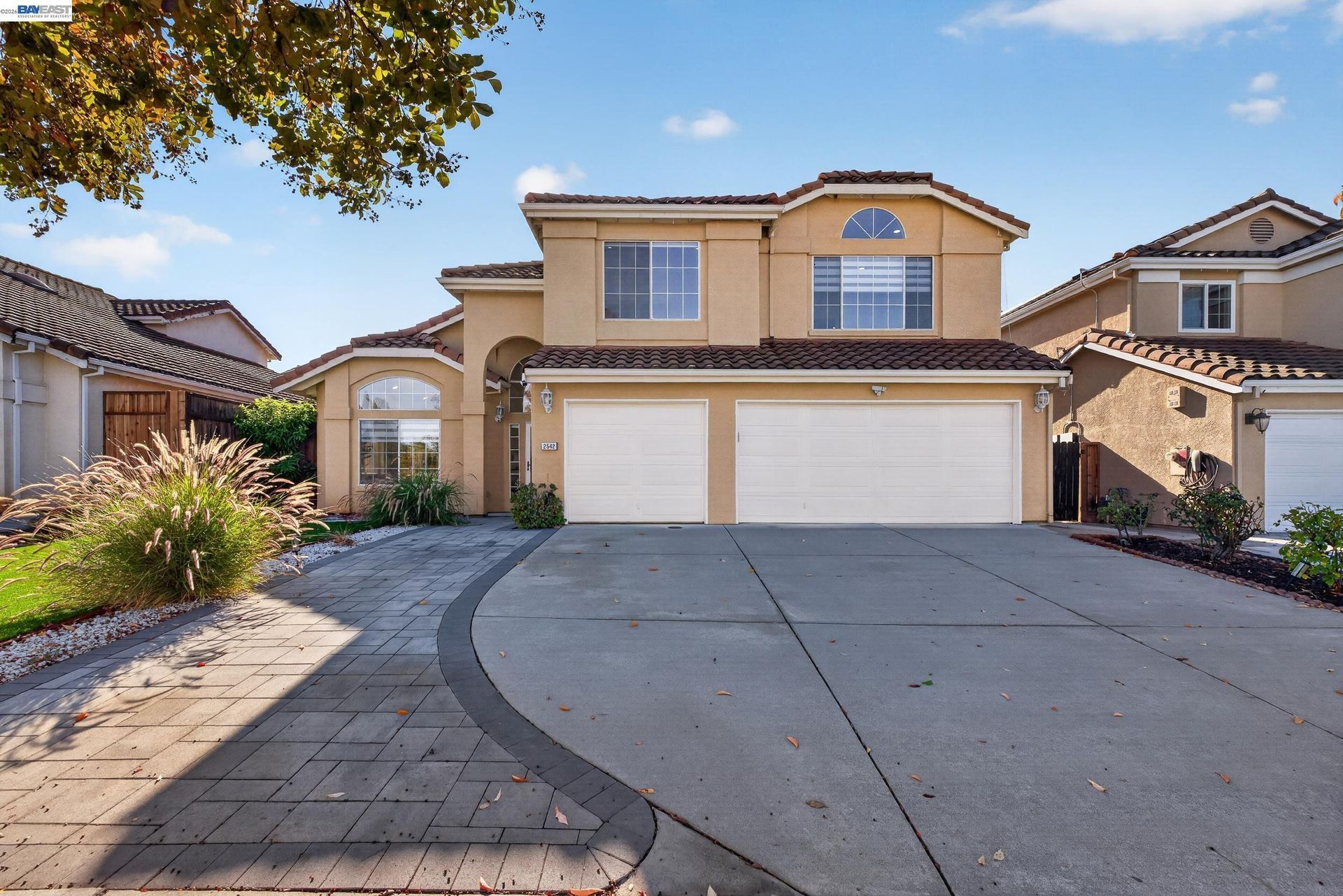
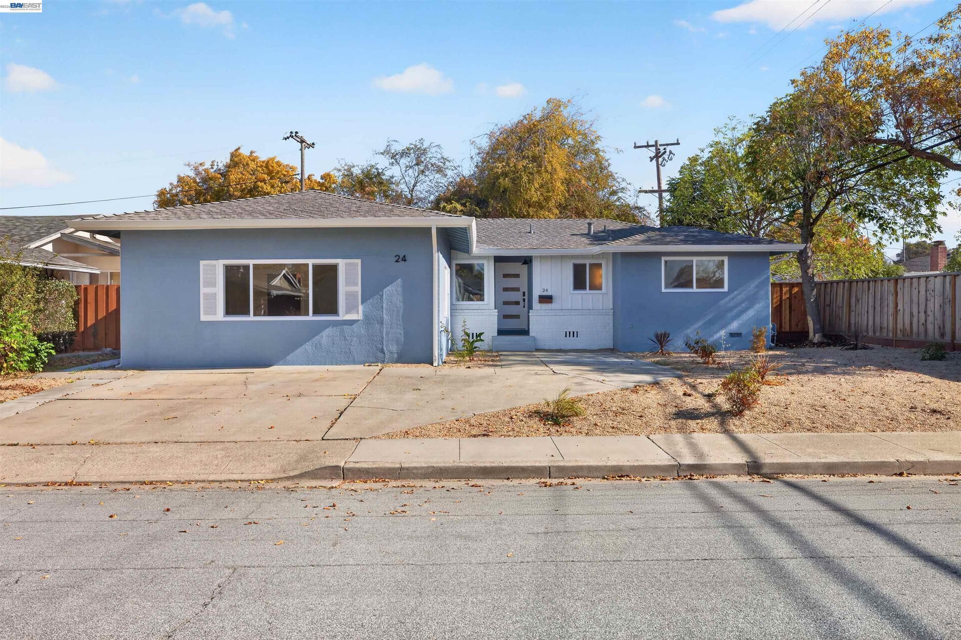
- Older Detached Homes: San Leandro contains detached residences built during the early twentieth century and other earlier periods of city development. Architectural style, foundation type, lot dimensions, additions, building systems, and renovation history can differ considerably between properties.
- Postwar Detached Homes: Large portions of southern and western San Leandro contain houses developed during the decades following World War II. Original floor plans, garage configurations, lot use, landscaping, and later remodeling can create substantial differences between neighboring homes.
- Remodeled and Expanded Homes: Additions, garage conversions, accessory dwelling units, solar installations, electrical and plumbing upgrades, foundation work, and other improvements have changed many older residences from their original configurations. Permit history can therefore be important during property review.
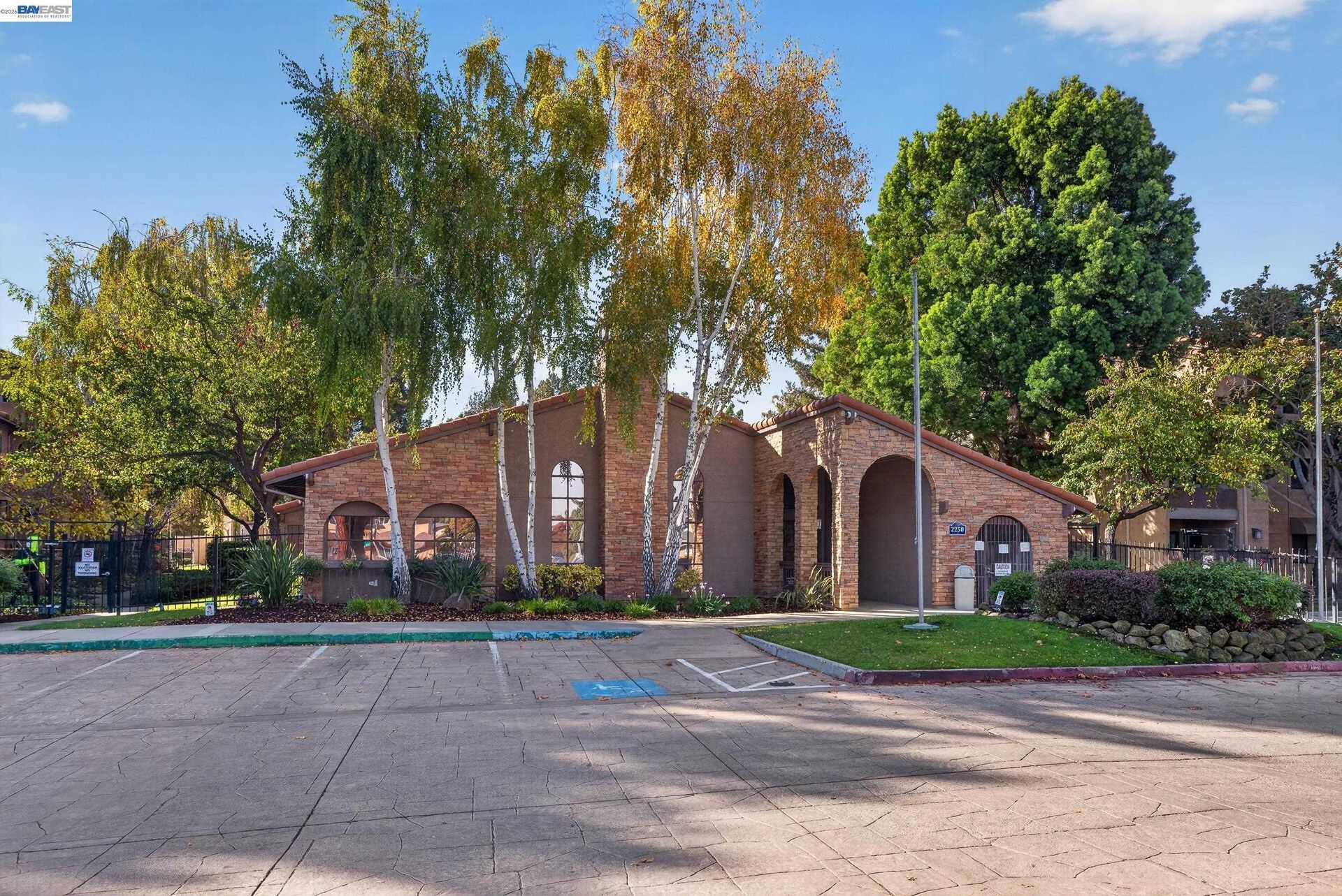
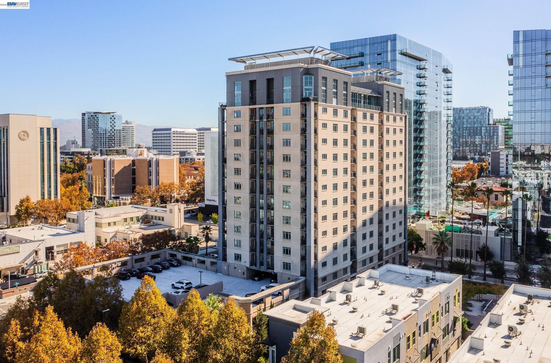
- Condominiums and Townhomes: Attached ownership housing is found near downtown, BART stations, major commercial corridors, and other areas of San Leandro. These properties can involve homeowners association documents, insurance responsibilities, reserves, parking, shared facilities, and maintenance obligations.
- Apartments and Multifamily Housing: Duplexes, apartments, and other multifamily properties are located throughout the city, with greater concentrations near transportation corridors, commercial districts, and areas planned for additional housing.
💼 Business and Employment Areas
- Downtown San Leandro: East 14th Street and surrounding downtown blocks contain restaurants, retail, professional services, civic facilities, housing, and businesses near the San Leandro BART station.
- West San Leandro Employment Districts: Industrial and commercial land west of central San Leandro supports manufacturing, production, distribution, office, technology, and other employment uses.
- Bay Fair: The Bay Fair area combines BART service, retail property, employment uses, and redevelopment planning. Current City work addresses infrastructure, streets, public spaces, housing, commercial activity, and future development around the station area.
- Marina Boulevard and Doolittle Drive: Retail centers, industrial properties, hotels, offices, services, and shoreline-related businesses create another major employment and commercial corridor in western San Leandro.
- Technology and Medical Employment: Technology-oriented workspace and major medical facilities add employment uses alongside the city's longstanding manufacturing and industrial base.
📊 Real Estate Overview
San Leandro real estate varies by development period, neighborhood setting, and surrounding land use. Older homes near downtown and northeastern neighborhoods differ from postwar subdivisions in Washington Manor, attached housing near major corridors, and properties closer to the shoreline or western employment districts. Construction history, lot configuration, zoning, transportation access, flood conditions, and homeowners association obligations should be reviewed at the property level.
Property Differences by Setting
- Early twentieth century homes in areas such as Estudillo Estates and surrounding northeast San Leandro can involve differences in foundation type, electrical and plumbing systems, additions, accessory structures, architectural alterations, and permit history.
- Postwar neighborhoods such as Washington Manor and Bonaire developed under a different subdivision pattern. Original floor plans, garages, additions, lot use, accessory dwelling units, solar systems, and later remodeling can create substantial differences between neighboring houses.
- Housing near Bay Fair, downtown BART, major commercial corridors, or western employment areas may have different parking arrangements, zoning context, traffic exposure, homeowners association requirements, and relationships to nearby redevelopment or industrial land. Shoreline-area properties can introduce additional considerations involving Bay proximity, drainage, flood information, and surrounding development.
Development and Land Use Context
- San Leandro's planning framework varies considerably by location. The Bay Fair Transit-Oriented Development Specific Plan guides land use around Bay Fair BART, while additional planning now focuses on streets, infrastructure, public spaces, housing, commercial development, and development-ready sites within the larger station area.
- The shoreline is another area where surrounding land uses may continue to change. Housing, recreation, parks, commercial uses, public facilities, golf improvements, and Bay Trail connections remain part of the broader shoreline planning context. Buyers and sellers near Bay Fair or the shoreline should review current City plans, approved projects, and property-specific zoning rather than relying on older development descriptions.
🌳 Parks, Trails and Local Attractions
- Marina Park: This shoreline park provides picnic areas, play equipment, open lawns, recreation facilities, and direct access to the Bay-side setting.
- San Leandro Shoreline and Bay Trail: The shoreline contains wetlands and Bay Trail connections that provide walking and cycling routes along portions of the San Francisco Bay edge.
- Oyster Bay Regional Shoreline: Located on Neptune Drive, this East Bay Regional Park contains multipurpose trails, shoreline habitat, picnic areas, and views across the Bay.
- Chabot Park: This hillside park at Estudillo Avenue and Sylvan Circle contains recreation facilities and access toward trails near Lake Chabot.
- Root Park and Downtown History: Root Park sits along San Leandro Creek near East 14th Street and downtown, where nearby historical sites document portions of the city's agricultural, transportation, civic, and industrial development.
🏘️ Residential Settings Across San Leandro
- Downtown and Northeast San Leandro: Older residential streets near downtown, Estudillo Avenue, civic facilities, local businesses, and San Leandro BART contain many early twentieth century homes alongside later residential development.
- Washington Manor and Bonaire: Southern San Leandro contains substantial postwar housing where additions, remodeling, accessory dwelling units, landscaping, and lot use have created differences among homes that originally followed similar subdivision patterns.
- Mulford Gardens and Marina Area: Residential streets closer to Doolittle Drive, Marina Boulevard, industrial land, parks, and the shoreline have a different surrounding setting from inland portions of San Leandro.
- Bay Fair and Southern Corridors: Housing near Bay Fair sits close to BART, East 14th Street, Hesperian Boulevard, commercial properties, and areas undergoing continued transit-oriented planning and development.
- Western San Leandro: Residential pockets share this part of the city with major employment districts, industrial properties, Interstate 880, transportation corridors, and Bay-side land, making surrounding land use particularly relevant when comparing properties.
🚆 Transportation and Regional Access
- Interstate 880 provides a major north and south freeway connection through western San Leandro.
- Interstate 580 runs along the northeastern side of the city and connects San Leandro with Oakland, Castro Valley, and other East Bay destinations.
- San Leandro BART Station provides regional rail service from the central portion of the city.
- Bay Fair BART Station provides a second rail station in southern San Leandro and serves as an important connection point for surrounding transit routes.
- East 14th Street, Hesperian Boulevard, Marina Boulevard, Davis Street, Doolittle Drive, and Bancroft Avenue provide important local and regional road connections through different parts of the city.
📚 Schools and Education
- San Leandro High School: The campus provides secondary academic coursework together with Advanced Placement classes, visual and performing arts, athletics, career education, and extracurricular programs.
- Bancroft Middle School: Students in grades six through eight receive core academic instruction along with electives, student activities, music, technology, arts, and other school programs.
- John Muir Middle School: This Williams Street campus serves middle-grade students through district academic programs, student activities, counseling, and school support resources.
- Roosevelt Elementary School: Roosevelt provides elementary instruction through the San Leandro Unified School District together with school-based academic and student support programs.
- James Madison Elementary School: Madison serves elementary students from its Juniper Street campus and received National Blue Ribbon School recognition in 2024.
✅ What Can You Do?
For Buyers
- When comparing older homes near downtown and northeastern San Leandro, look at how the original floor plan has changed over time, since additions, garage conversions, and interior reconfiguration can make similar-looking houses function very differently.
- For properties west of I-880, review the immediate relationship to industrial buildings, truck routes, shoreline land, and larger commercial parcels rather than judging the area only from the residential street itself.
- Around Bay Fair, distinguish between existing development, adopted planning rules, approved projects, and longer-term proposals so future surroundings are not treated as already completed.
- If BART access is important, compare the actual walking or driving route to San Leandro Station or Bay Fair Station rather than relying on a general transit-oriented description.
- For homes near Marina Boulevard, Doolittle Drive, or the Bay shoreline, review drainage, flood information, nearby land uses, and the property's exact relationship to parks, trails, and waterfront areas.
For Sellers
- For older San Leandro homes, organize improvements by date so buyers can clearly see which portions are original, remodeled, added, or converted and which work has supporting permits.
- If the property is near an industrial or employment district, describe the surrounding uses accurately and focus marketing on the home's documented features rather than making broad neighborhood claims.
- For homes near Bay Fair, separate existing amenities from planned or proposed development when describing the area's future context.
- When marketing a property near the shoreline or Bay Trail, state the actual access point, distance, and view orientation instead of using general waterfront terminology.
- Choose comparable sales that reflect both the home's construction period and its immediate San Leandro setting, since an older northeast residence, postwar subdivision home, BART-area condominium, and west-side property can attract different comparisons.
❓ FAQ
Q: Why is San Leandro associated with cherries?
A: Cherries were an important crop during San Leandro's agricultural period, and the first Cherry Festival was held in 1909. The annual event continues as a downtown San Leandro tradition.
Q: How many BART stations are located in San Leandro?
A: Two. San Leandro Station serves the central part of the city, while Bay Fair Station serves southern San Leandro.
Q: How does western San Leandro differ from neighborhoods closer to downtown?
A: Western San Leandro contains a greater concentration of industrial and employment land, I-880 access, Marina Boulevard, Doolittle Drive, shoreline areas, parks, and Bay Trail connections. Central and northeastern parts of the city contain more established residential streets, downtown businesses, civic uses, and older housing.
🔚 Conclusion
San Leandro real estate covers housing built during several periods of East Bay development, from older neighborhoods near downtown and Estudillo Avenue to large postwar subdivisions, transit-area housing, and properties near industrial or shoreline land. BART access, Bay Fair planning, shoreline development, construction history, zoning, lot characteristics, and surrounding land uses can create meaningful differences between properties. Reviewing the individual address and current public records provides a clearer basis for evaluating San Leandro real estate.
This blog is for general informational purposes only and does not constitute legal, tax, accounting, investment, or professional advice. Always consult with qualified professionals before making any decisions based on this content. School information including addresses, phone numbers, and emails was accurate as of the blog’s published date but may change without notice. Please verify directly with the school or institution. This content is provided “as is,” without warranties of any kind. If you are currently under an exclusive agreement with another real estate broker, this blog is not intended as a solicitation.
Contact Us