
Pinole: Old Town & Bayfront
Updated November 9, 2026

Pinole: Old Town & Bayfront
Pinole is a West Contra Costa County city along San Pablo Bay with a historic Old Town, bayfront parkland, established residential areas, rolling terrain, regional retail centers, and direct access to Interstate 80. Housing conditions can vary by construction period, lot configuration, elevation, proximity to commercial corridors, and applicable City planning standards.
📝 Introduction
Pinole began as an early waterfront settlement and gradually expanded into a city with several distinct residential and commercial areas. Old Town preserves buildings tied to its nineteenth and early twentieth century past, while Pinole Valley, hillside streets, shopping districts, and newer housing reflect later periods of growth. Incorporated in 1903, Pinole today combines its historic core with established neighborhoods, commercial corridors, parks, and access to San Pablo Bay.
📍 What Defines Pinole
- Historic residences and commercial buildings remain around San Pablo Avenue, Tennent Avenue, and nearby Old Town streets, including examples of Queen Anne and Italianate architecture.
- Pinole reaches the shoreline through Bayfront Park and nearby Bay Trail segments, giving the city a direct connection with San Pablo Bay.
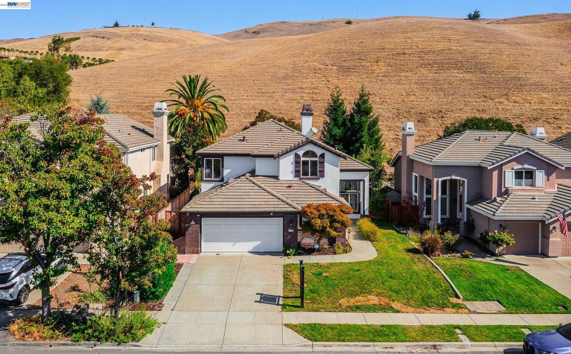
- Residential neighborhoods extend inland from the older downtown area through Pinole Valley, where housing patterns change from established subdivisions to properties near open land and higher elevations.
- San Pablo Avenue, Pinole Valley Road, and Appian Way are covered by the City's Three Corridors Specific Plan, which guides land use and redevelopment along these areas.
- Interstate 80 crosses Pinole and separates some residential and commercial areas while providing regional road connections toward Richmond, Berkeley, Oakland, Hercules, and points farther east.
🎉 Fun Fact
According to the City's historical account, the name Pinole is connected with a ground meal made from seeds and grain. Spanish explorers reportedly used the name "El Pinole" after receiving this type of food during an expedition through the area. The word is traced to the Nahuatl term "pinolli," referring to ground and toasted grain or seeds.
🏡 Residential Setting and Housing
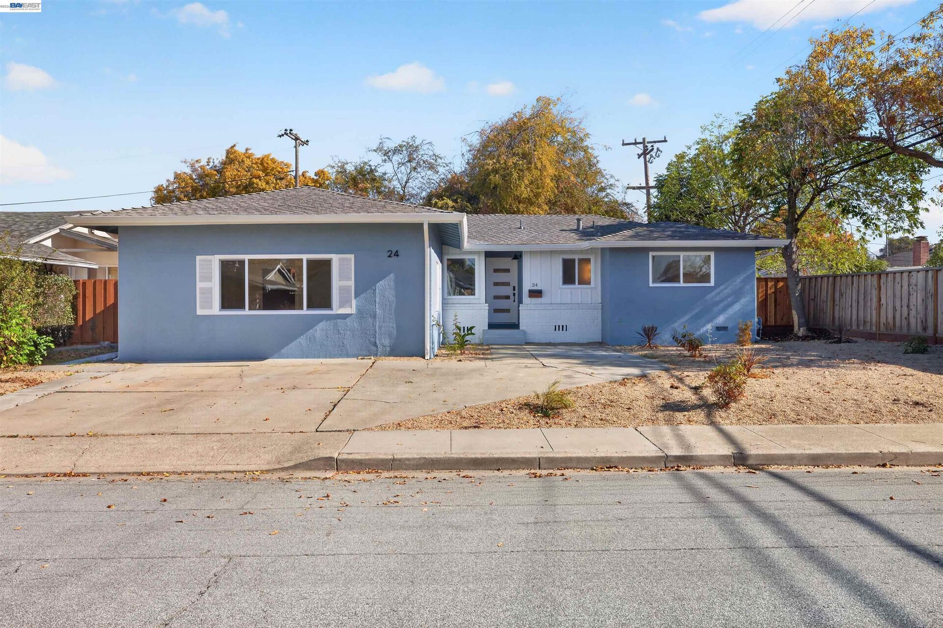
- Older Detached Homes: Pinole contains cottages and detached residences dating from several periods of development, including older properties around Old Town. Building age, architectural details, additions, lot dimensions, and renovation history can vary substantially.
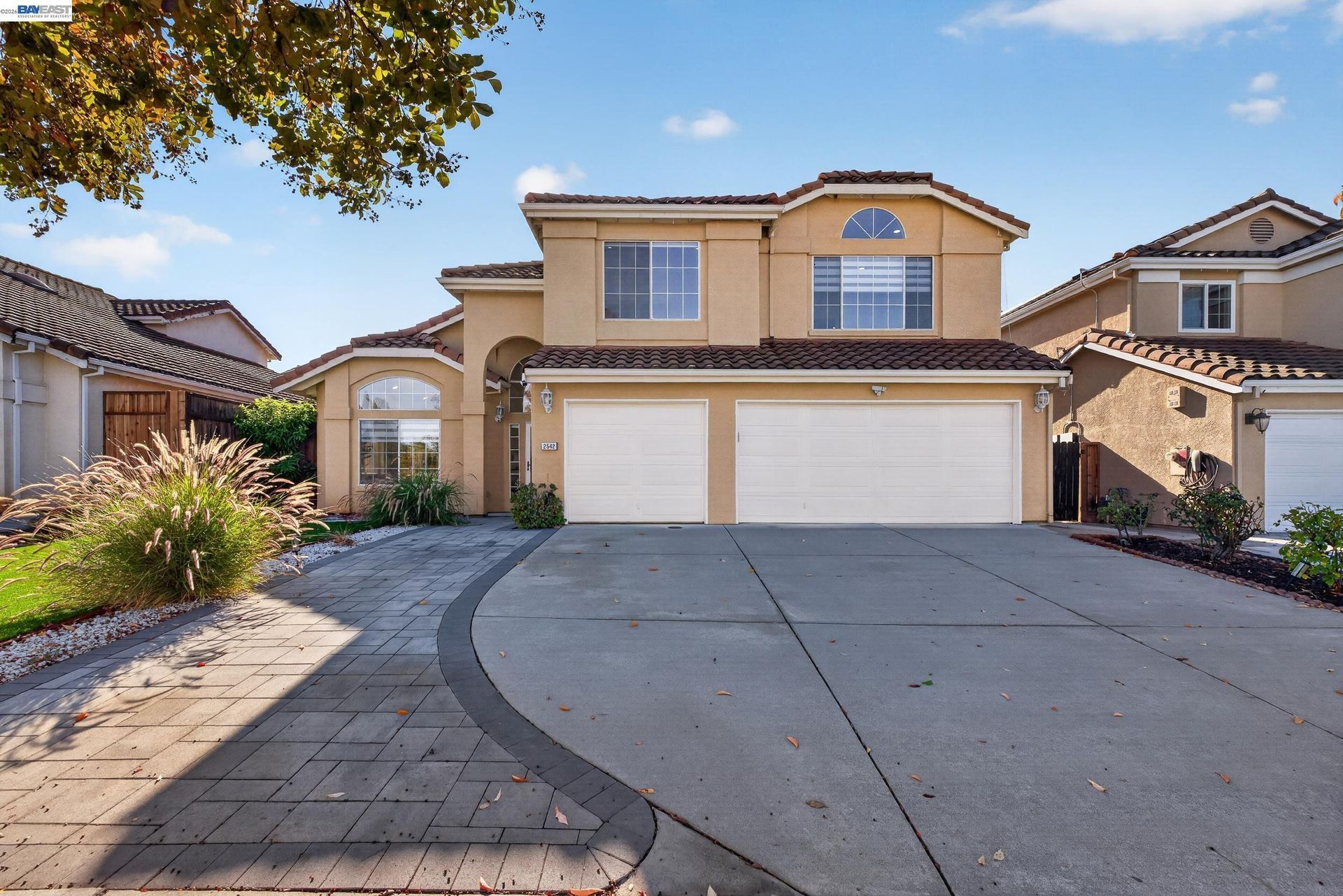
- Postwar Detached Homes: Much of Pinole's later residential development consists of detached homes built within established subdivisions. Floor plans, lot configuration, landscaping, remodeling history, and elevation can differ between neighborhoods and individual properties.
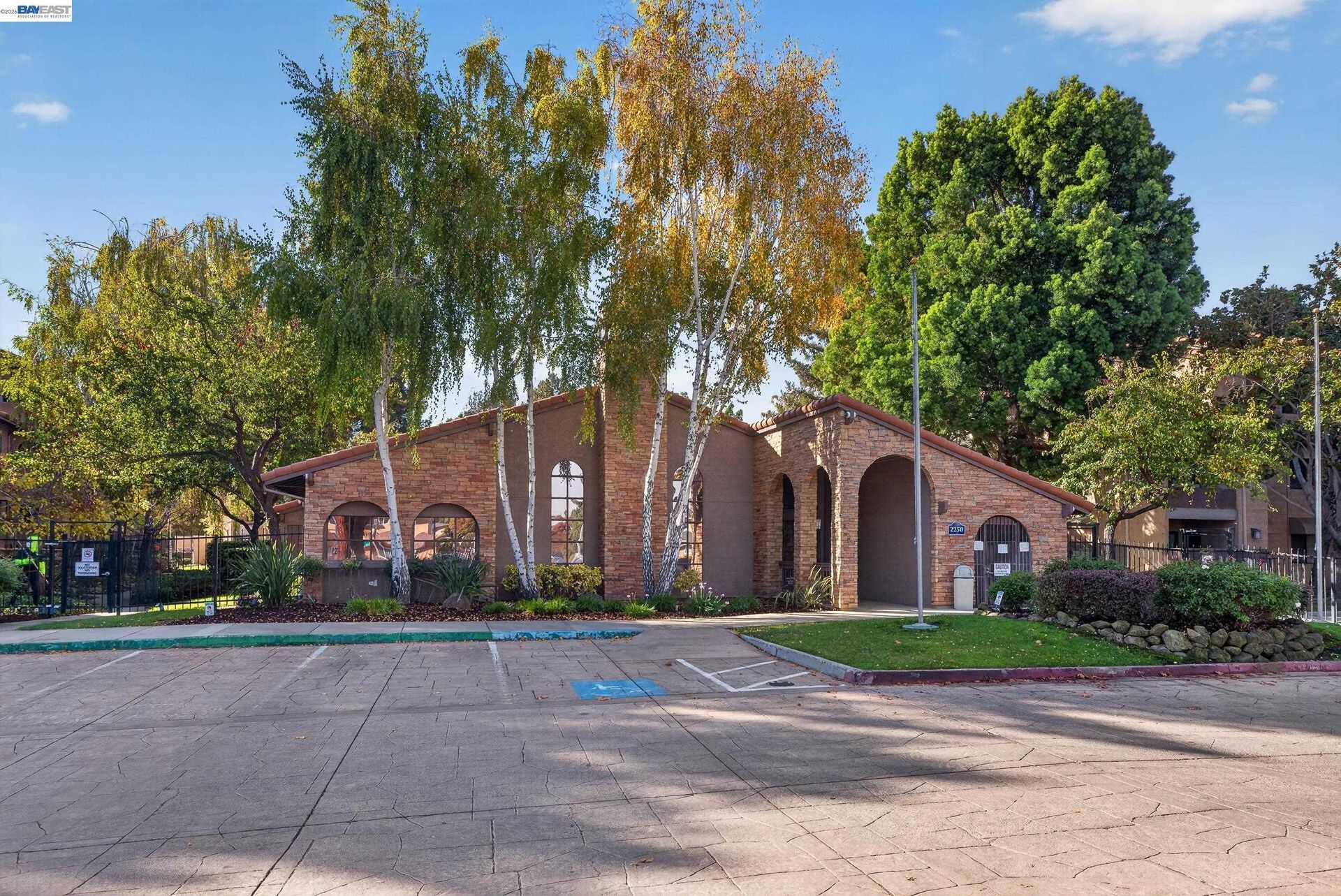
- Condominiums and Townhomes: Attached ownership housing is found in several parts of Pinole and can involve homeowners association documents, insurance responsibilities, common areas, parking arrangements, reserves, and maintenance obligations.
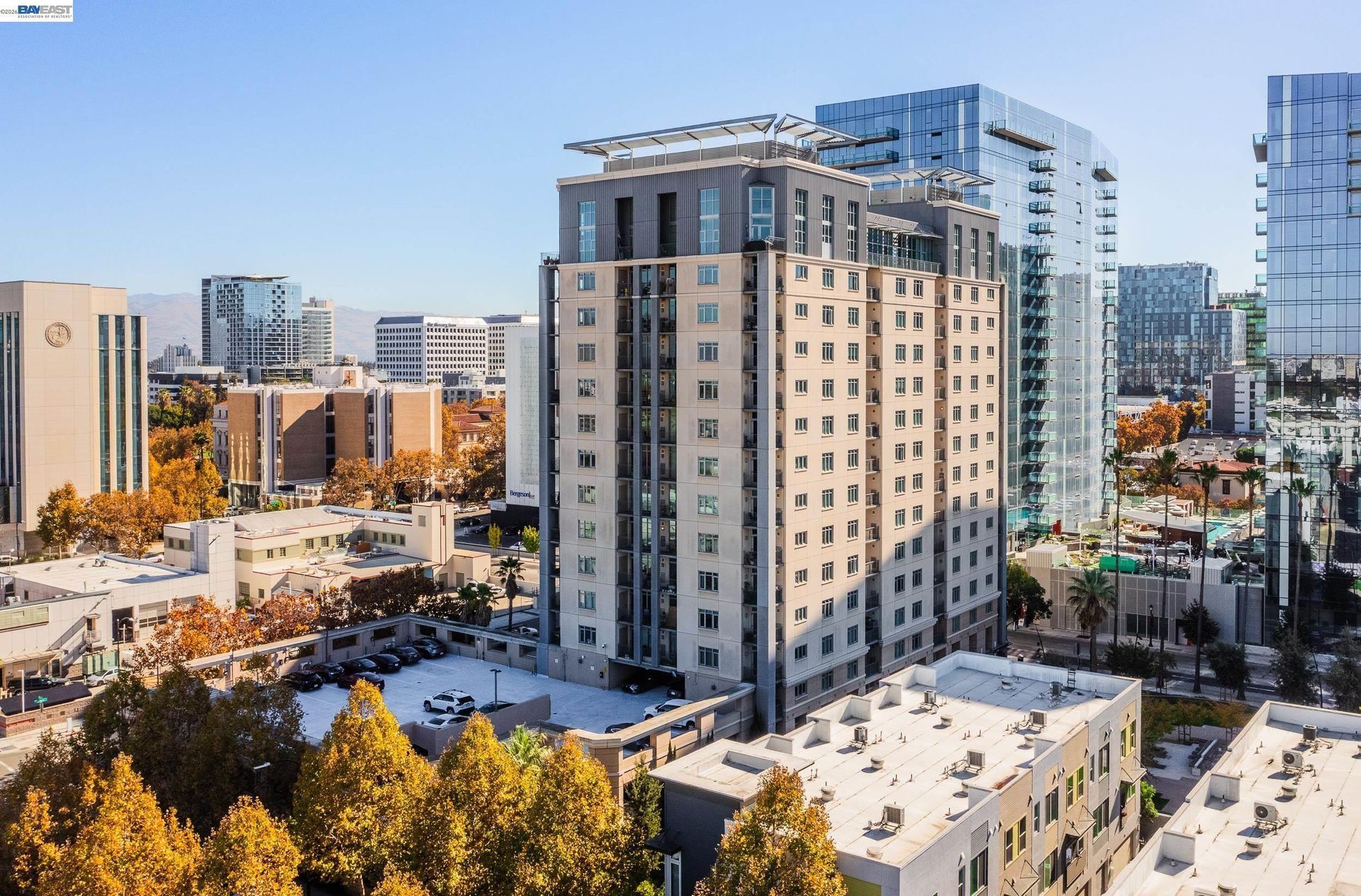
- Duplexes and Multifamily Housing: Duplexes, apartments, and other multifamily properties add another housing type, particularly near commercial corridors and areas planned for mixed use development. Unit configuration, parking, permits, and surrounding land uses can differ from detached housing.
- Hillside and Irregular Parcels: Homes on higher, sloped, or less uniform sites can involve drainage, grading, retaining structures, foundation conditions, driveway access, and usable outdoor area that differ from properties on flatter streets.
💼 Business and Employment Areas
- Old Town and San Pablo Avenue: Historic storefronts, restaurants, professional offices, and smaller local businesses occupy buildings of different ages along and near Pinole's original commercial corridor.
- I-80 Retail Districts: Larger shopping centers near the freeway serve both local and regional customers and represent a different scale of commercial activity from Old Town.
- Pinole Valley Road: This corridor combines neighborhood retail, offices, services, residential development, and civic uses as it extends inland from San Pablo Avenue.
- Appian Way: Commercial sites along Appian Way are part of an area the City has identified for continued planning and potential redevelopment under the Three Corridors Specific Plan.
- Northern Office and Light Industrial Area: Zoning in the northern part of Pinole allows office and light industrial uses along with supporting commercial activity, adding an employment setting different from the city's retail corridors.
📊 Real Estate Overview
Pinole housing includes detached houses, condominiums, townhomes, duplexes, and multifamily properties built during several periods of development. An older Old Town residence can involve different considerations from a postwar home in Pinole Valley, a condominium near a commercial corridor, or a property on higher ground. Construction date, renovations, lot shape, parking, zoning, and surrounding land uses should therefore be reviewed at the individual property level.
Property Differences by Setting
- Old Town properties can differ from later Pinole housing in construction age, architectural details, lot dimensions, additions, parking arrangements, and renovation history. Properties within the Old Town area may also require closer attention to applicable design guidelines when exterior changes or new development are being considered.
- Homes throughout Pinole Valley and other established subdivisions can vary by construction period, lot size, remodeling history, elevation, and relationship to major roads or nearby open land. Properties farther into the valley or on higher sites may also involve different drainage, grading, retaining structure, and access conditions.
- Condominiums, townhomes, and multifamily properties near San Pablo Avenue, Pinole Valley Road, Appian Way, or I-80 can introduce different considerations involving association obligations, shared facilities, parking, commercial surroundings, traffic exposure, and future development along nearby corridors.
Development and Land Use Context
- Planning rules can also differ by location. Properties within Old Town may be subject to Old Town Design Guidelines, while sites along San Pablo Avenue, Pinole Valley Road, and Appian Way can fall within the Three Corridors Specific Plan, where standards may differ from the citywide zoning code.
- Current zoning and planning information should be reviewed before assuming that an addition, accessory dwelling unit, exterior alteration, redevelopment project, or other substantial change can proceed as proposed. This is particularly important for properties within Old Town or the Three Corridors planning areas, where location-specific standards can apply in addition to broader City requirements.
🌳 Parks, Trails and Local Attractions
- Bayfront Park: Located at the end of Tennent Avenue, this small shoreline park provides direct views across San Pablo Bay and serves as one of Pinole's closest public connections to the waterfront.
- Pinole Valley Park: At 231 acres, this is one of the city's largest recreation areas, with sports fields, courts, picnic spaces, trails, and open land extending inland from the developed portions of Pinole.
- Fernandez Park: Positioned beside Old Town, this six acre park includes a baseball field, courts, picnic facilities, and a gazebo, linking recreation with the city's historic center.
- Pinole Creek and Bay Trail: Paved walking routes connect portions of Pinole Creek with the Bay Trail, providing a local trail setting between inland neighborhoods and the shoreline.
- Point Pinole Regional Shoreline: Located nearby rather than within the City of Pinole, this large East Bay Regional Park includes meadows, eucalyptus groves, shoreline habitat, and miles of trails along San Pablo Bay.
🏘️ Residential Settings Across Pinole
- Old Town: Some of Pinole's older housing is located near San Pablo Avenue, Tennent Avenue, Fernandez Park, Bayfront Park, and the city's historic commercial buildings.
- Pinole Valley: Established residential neighborhoods extend inland through areas where construction period, lot dimensions, elevation, remodeling history, and proximity to open land can vary by location.
- Northern Pinole: Later residential development sits closer to Hercules, Interstate 80, shopping areas, and higher terrain, creating a different setting from older streets near Old Town.
- Appian Way Area: Residential streets share this part of Pinole with commercial properties, arterial traffic, nearby shopping, and land governed by the Three Corridors Specific Plan.
- Higher and Outlying Residential Areas: Properties near the edges of developed neighborhoods can differ in slope, drainage, retaining structures, grading, driveway access, vegetation, and usable outdoor area from homes on more level streets.
🚆 Transportation and Regional Access
- Interstate 80 is Pinole's primary regional freeway connection and links the city with Richmond, Berkeley, Oakland, Hercules, Vallejo, and destinations farther east.
- San Pablo Avenue connects Old Town with neighboring West Contra Costa communities and supports both local travel and commercial activity.
- Pinole Valley Road extends inland through residential areas and provides one of the city's main connections between Interstate 80, San Pablo Avenue, schools, parks, and neighborhoods.
- Appian Way serves southeastern Pinole and connects with surrounding communities through San Pablo Dam Road and nearby arterial streets.
- AC Transit Line 70 serves Appian Way and Pinole shopping areas while providing connections with Richmond Parkway Transit Center and El Cerrito del Norte BART.
📚 Schools and Education
- Pinole Valley High School: The high school offers Advanced Placement and honors coursework together with career academies and Regional Occupational Program classes. Current academy options include areas such as engineering, health, law, and choral studies.
- Betty Reid Soskin at Pinole Middle School: Serving the middle grades, the campus provides regular academic coursework along with student clubs, activities, and career exploration resources.
- Stewart K-8 School: Stewart serves a broader grade span than Pinole's traditional elementary campuses and operates a Dual Language Immersion program.
- Collins Elementary School: Located on Pinole Valley Road, Collins serves elementary grades within the West Contra Costa Unified School District.
- Ellerhorst Elementary School: Ellerhorst is another Pinole elementary campus, located farther along Pinole Valley Road near residential areas toward the eastern side of the city.
✅ What Can You Do?
For Buyers
- Check whether the property is within Old Town or a Three Corridors Specific Plan area before planning additions, exterior alterations, or redevelopment.
- Compare older Old Town homes separately from postwar subdivisions and newer attached housing because construction history and property characteristics can differ considerably.
- Review traffic, freeway exposure, and nearby commercial activity directly from the property when considering homes close to I-80 or major corridors.
- For properties on higher or irregular parcels, examine drainage, grading, retaining structures, and access conditions specific to the site.
- Verify permits for additions, accessory dwelling units, garage conversions, and major remodeling before relying on existing square footage or property descriptions.
For Sellers
- Confirm whether Old Town Design Guidelines or Three Corridors standards apply before describing redevelopment or expansion possibilities.
- Describe historic architecture accurately and avoid identifying a property as historically designated unless that status is documented.
- Gather permits and records for additions, accessory dwelling units, roofing, electrical work, structural changes, and major renovations.
- Represent Bay views, shoreline proximity, Bay Trail access, and park access according to the actual property rather than using general bayfront wording.
- Select comparable sales from the same Pinole setting and similar construction period instead of relying primarily on citywide averages.
❓ FAQ
Q: Why does Pinole have an Old Town district?
A: Pinole developed around waterfront trade, rail activity, and early commercial businesses before incorporating in 1903. Many residences and commercial buildings from the late nineteenth and early twentieth centuries remain in the Old Town area today.
Q: What is Pinole's Three Corridors Specific Plan?
A: It is a planning framework for San Pablo Avenue, Pinole Valley Road, and Appian Way. The plan establishes land use and development standards intended to guide redevelopment and future growth within those corridors.
Q: How does Pinole's bayfront differ from its inland residential areas?
A: The bayfront includes Old Town, Bayfront Park, shoreline trails, and lower elevation land near San Pablo Bay, while inland portions of Pinole extend through established residential neighborhoods, commercial corridors, valleys, and higher terrain.
🔚 Conclusion
Pinole combines an older waterfront district with postwar residential neighborhoods, inland valley housing, major commercial corridors, and access to San Pablo Bay. Old Town architecture, Three Corridors planning standards, lot conditions, construction history, freeway proximity, and shoreline setting can create meaningful differences between properties. Reviewing the specific address and applicable City rules provides a clearer basis for evaluating Pinole real estate.
This blog is for general informational purposes only and does not constitute legal, tax, accounting, investment, or professional advice. Always consult with qualified professionals before making any decisions based on this content. School information including addresses, phone numbers, and emails was accurate as of the blog’s published date but may change without notice. Please verify directly with the school or institution. This content is provided “as is,” without warranties of any kind. If you are currently under an exclusive agreement with another real estate broker, this blog is not intended as a solicitation.
Contact Us