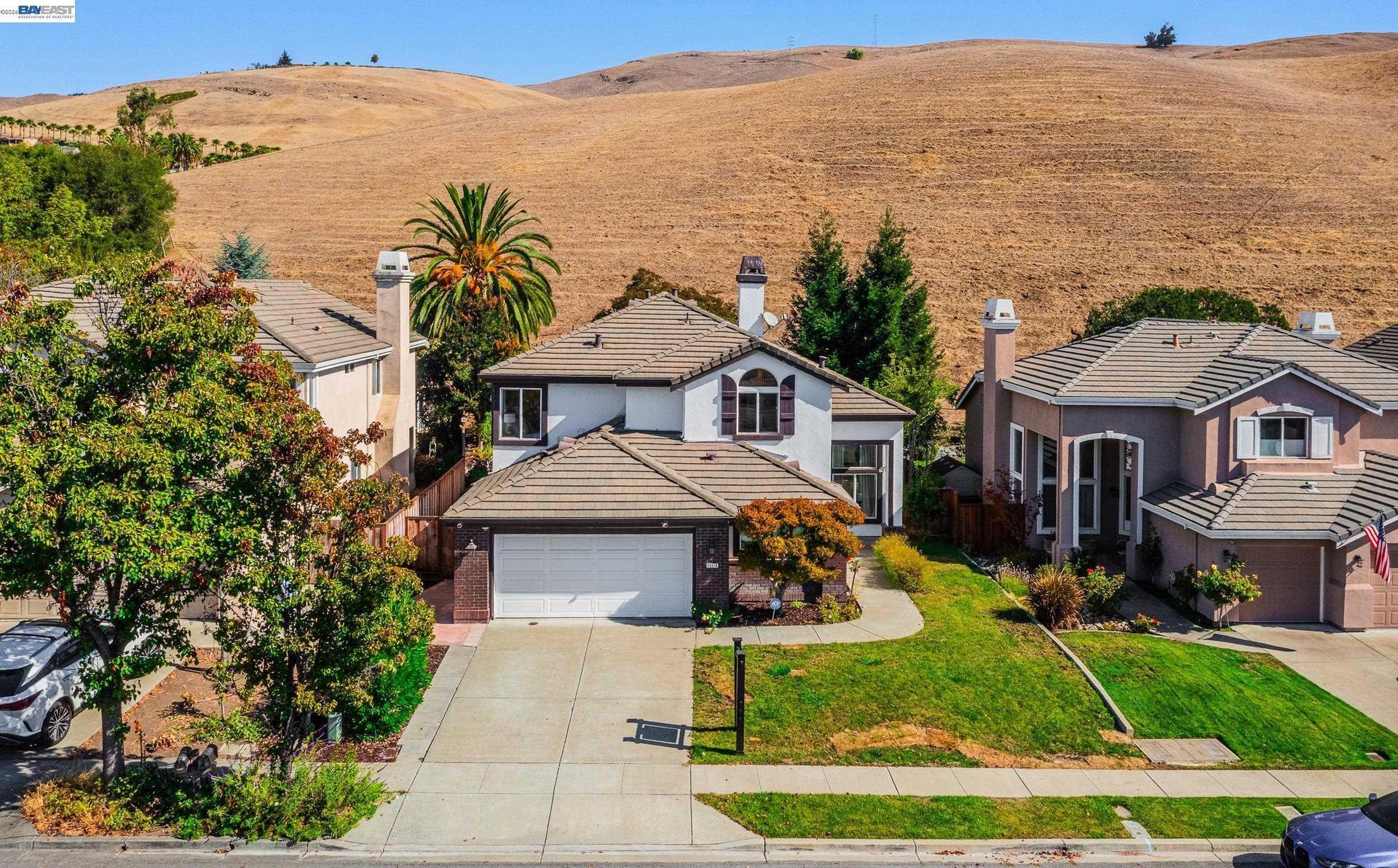

Newark: Bay Wetlands & Peninsula
Updated November 06, 2026

Newark: Bay Wetlands & Peninsula
Newark is an independent Alameda County city largely bordered by Fremont, with San Francisco Bay wetlands along its western side. Established neighborhoods, NewPark Place, industrial and technology districts, parks, schools, and redevelopment areas create several distinct real estate settings within a relatively compact city.
📝 Introduction
Newark has an unusual municipal history within southern Alameda County. In the early 1950s, Newark was one of six Washington Township communities considered for incorporation into a single city. Newark ultimately pursued separate incorporation and became a city in 1955, while Centerville, Irvington, Mission San Jose, Niles, and Warm Springs incorporated together as Fremont in 1956. Today, Newark combines established residential areas with commercial districts, employment centers, redevelopment sites, and a western landscape shaped by Bay wetlands and former salt ponds.
📍 What Defines Newark
- Newark became an incorporated city in September 1955 after choosing to pursue separate cityhood rather than join the consolidation that later created Fremont.
- State Route 84 crosses Newark before continuing over the Dumbarton Bridge toward the Peninsula, giving this corridor a distinct regional role.
- NewPark Place is part of a long term planning framework for mixed use development that includes retail, housing, public spaces, and additional commercial activity.
- Salt ponds, sloughs, former salt production lands, and nearby wildlife habitat shape the western edge of Newark and distinguish it from inland portions of the city.
- Newark's employment areas include advanced manufacturing, biotechnology and life sciences, electric vehicle related businesses, food manufacturing, logistics, office uses, and other commercial activity.
🎉 Fun Fact
Newark became an incorporated city one year before Fremont. After Newark established its own city government in 1955, the five neighboring Washington Township communities of Centerville, Irvington, Mission San Jose, Niles, and Warm Springs combined to form Fremont in 1956.
🏡 Residential Setting and Housing
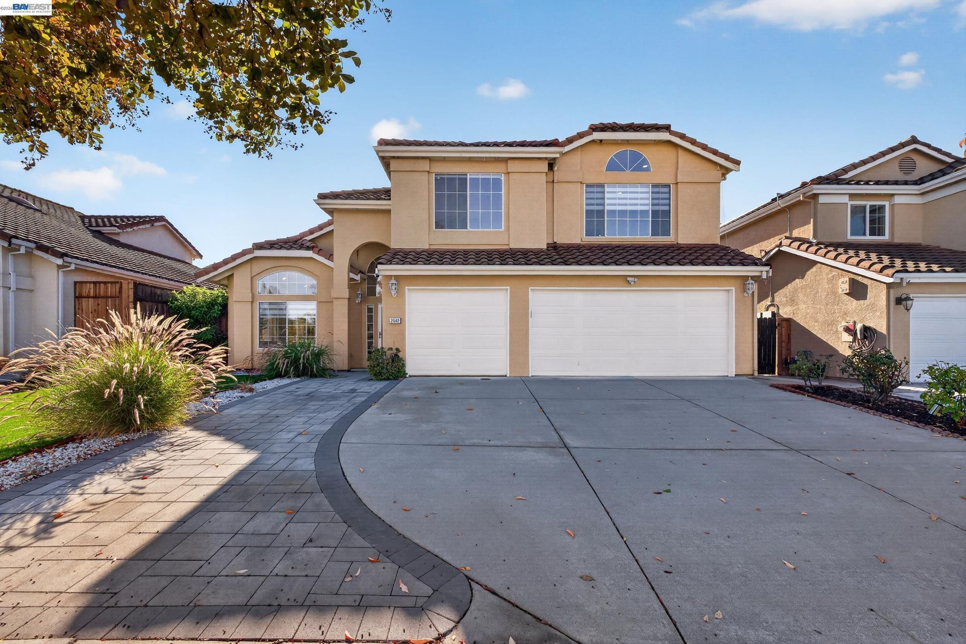
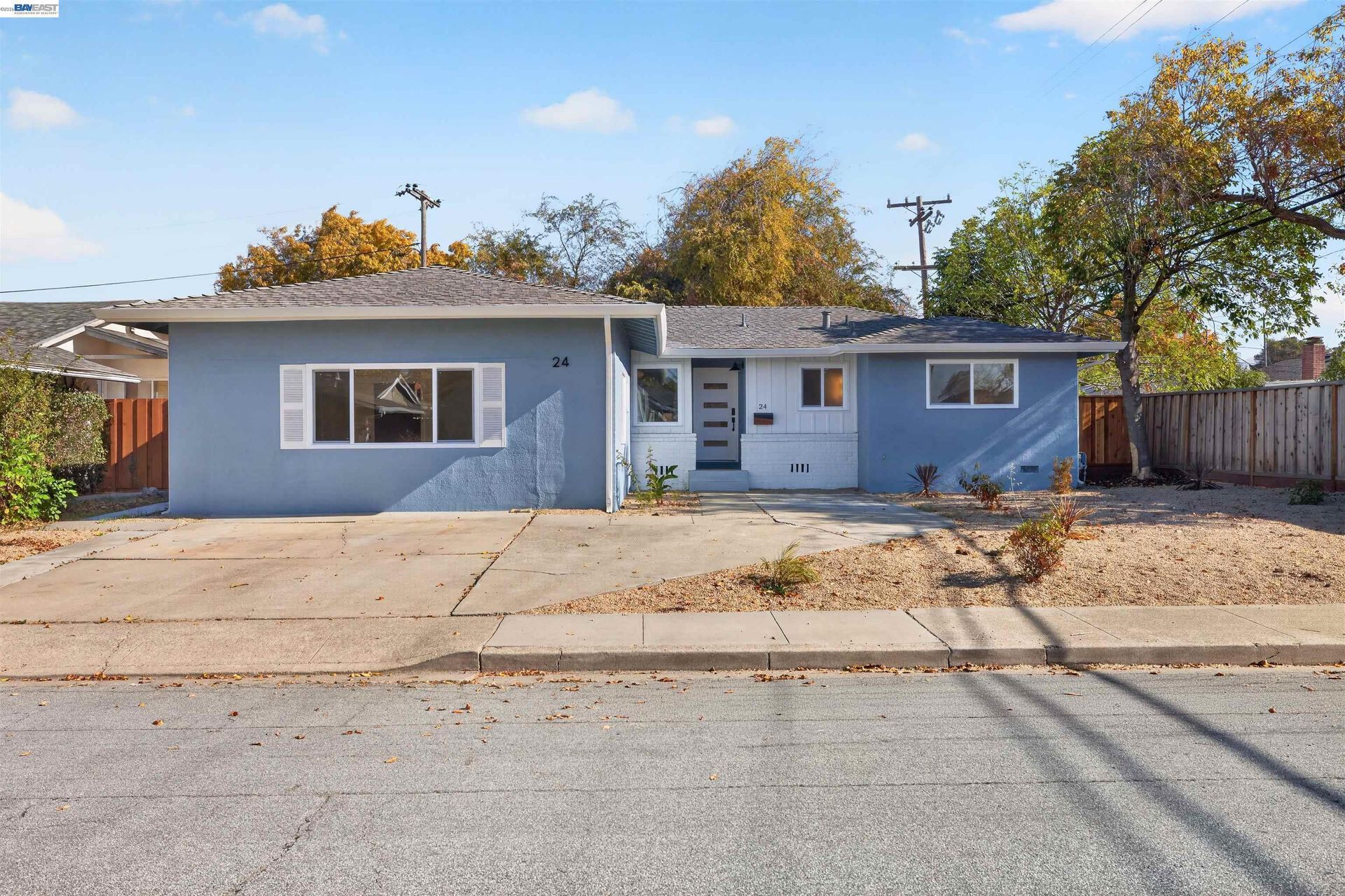
- Established Detached Homes: Much of Newark's housing consists of detached residences built during different periods. Construction age, architecture, lot dimensions, additions, accessory structures, landscaping, and renovation history can vary considerably between nearby properties.
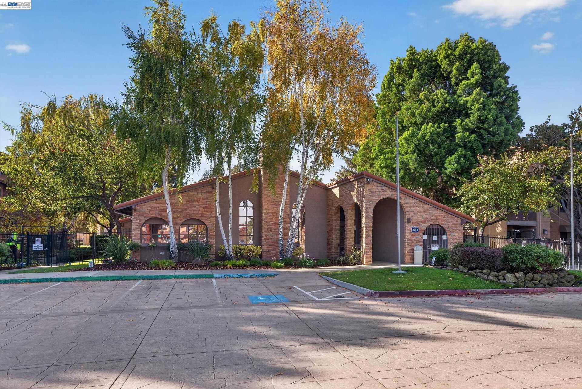
- Townhomes and Condominiums: Attached housing is found throughout Newark and can involve homeowners association documents, common-area maintenance, insurance responsibilities, parking arrangements, reserves, assessments, and architectural requirements.
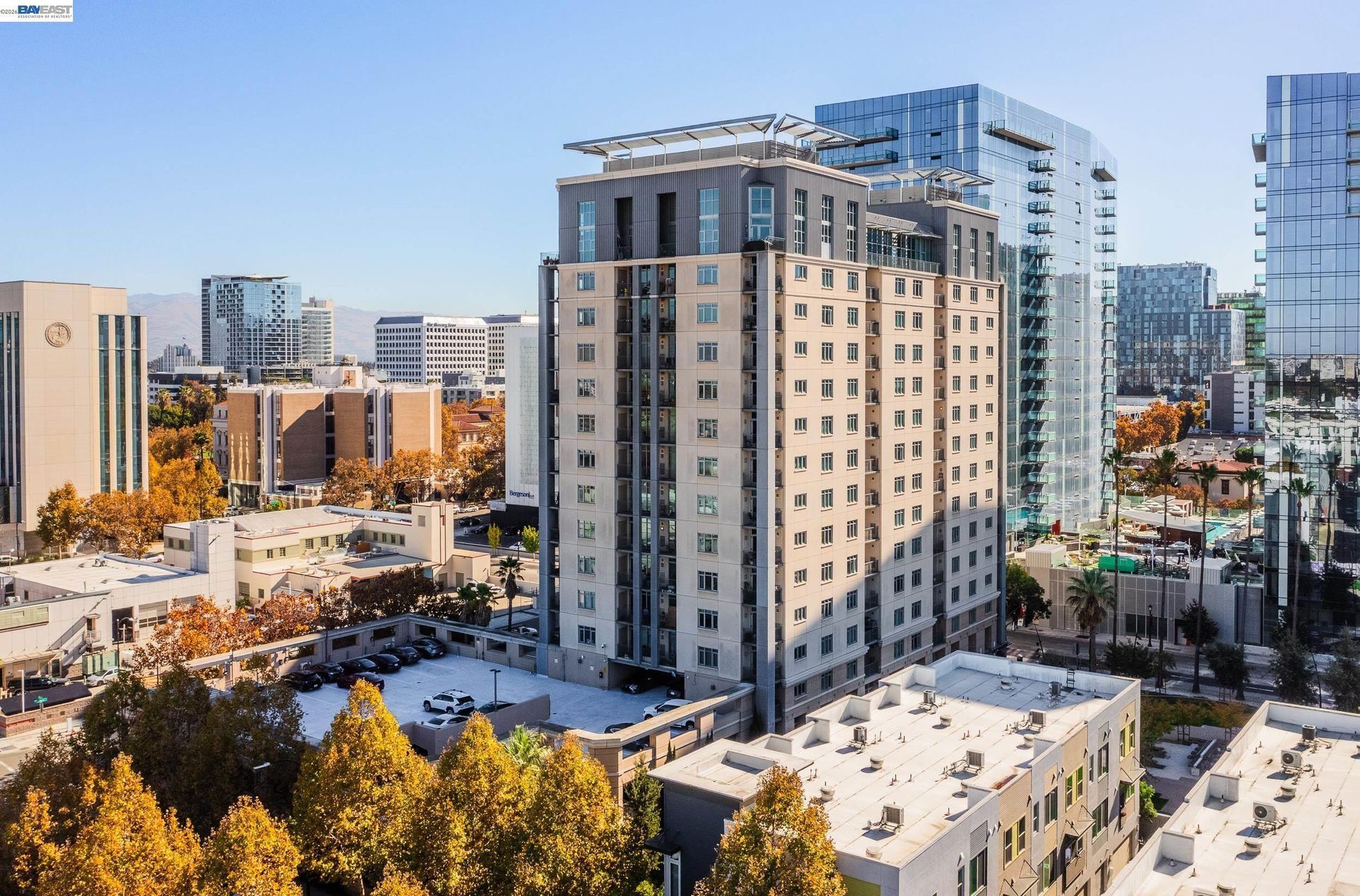
- Apartments and Multifamily Housing: Multifamily housing is located in several parts of Newark and continues to be incorporated into mixed use and redevelopment plans around commercial and transportation corridors.
- Newer Residential Development: More recent housing includes detached and attached homes developed within newer subdivisions and planning areas. Builder, construction period, lot configuration, association structure, and surrounding infrastructure can differ from older neighborhoods.
- Remodeled and Expanded Homes: Additions, accessory dwelling units, garage conversions, solar installations, electrical upgrades, roofing, and other improvements can make permit history and property records important when comparing older Newark homes.
💼 Business and Employment Areas
- NewPark Place: Retail and entertainment remain important uses around NewPark while long term planning provides for additional housing, commercial activity, and redevelopment.
- Pacific Research Center and Stevenson Point: These office districts have supported technology, corporate office, research, and compatible employment uses.
- Cherry Street and Central Avenue: Industrial, warehouse, manufacturing, and employment properties are concentrated along portions of these corridors.
- Old Town Newark: Smaller businesses and service uses operate around Thornton Avenue and nearby streets, where planning also provides for future mixed use development.
- Bayside Newark: This western Newark planning area is intended for a combination of housing, business activity, neighborhood retail, recreation, and future development.
📊 Real Estate Overview
Newark real estate includes established detached homes, condominiums, townhomes, apartments, newer subdivisions, and housing within active redevelopment areas. A property near Old Town may have different planning considerations from one near NewPark Place, Planning Areas 3 and 4, or the western industrial and shoreline districts. Home age, lot configuration, homeowners association requirements, drainage, and surrounding development should therefore be reviewed at the individual property level.
Property Differences by Setting
- Established detached homes in central Newark can vary considerably in construction period, lot dimensions, additions, accessory structures, remodeling history, landscaping, and proximity to major roads or commercial corridors. These differences can make neighborhood-level comparable sales more useful than broad citywide figures.
- Townhomes, condominiums, apartments, and housing within mixed use planning areas can involve different parking arrangements, shared facilities, homeowners association obligations, common-area maintenance, and relationships to nearby retail or commercial uses. Properties near NewPark Place or Old Town may also be affected by changes occurring on surrounding parcels over time.
- Homes and newer development toward western and southwestern Newark can have different relationships to sloughs, wetlands, open land, industrial areas, drainage systems, and future development sites. Flood information, drainage conditions, parcel boundaries, and surrounding land uses can therefore be especially relevant when comparing properties in these locations.
Development and Land Use Context
- Newark has several planning areas with different development goals. NewPark Place addresses redevelopment around the mall area, Old Town Newark covers housing and mixed use development around Thornton Avenue, Bayside Newark addresses western Newark, and Planning Areas 3 and 4 cover a substantial portion of the city's southwest side.
- Because these areas can progress through planning, approvals, infrastructure work, and construction at different times, current City documents should be reviewed when evaluating nearby property. Zoning, approved projects, proposed development, public improvements, and surrounding land uses may differ from information shown in older listings, builder materials, or previous marketing descriptions.
🌳 Parks, Trails and Local Attractions
- Community Center Park: Approximately 16 acres along Cedar Boulevard provide playgrounds, basketball and handball facilities, lighted tennis courts, picnic areas, and nearby community facilities.
- George M. Silliman Community Activity Center: This Mowry Avenue facility combines an aquatic center, fitness center, gymnasium, meeting space, and recreation programming under one roof.
- Mel Nunes Sportsfield Park: Synthetic athletic fields anchor this recreation complex, while the adjoining skate park adds elevated and recessed skate features, seating, and viewing areas.
- Birch Grove Park: This park includes softball, basketball, tennis, playground areas, and picnic facilities, giving it a sports oriented role within Newark's park system.
- Newark Slough and Nearby Bay Trails: Trails near western Newark pass through salt pond, slough, and marsh environments and connect with the broader San Francisco Bay Trail network.
🏘️ Residential Settings Across Newark
- Central Newark: Many established detached-home neighborhoods are located here, where construction period, lot size, additions, remodeling history, and street layout can vary from block to block.
- Old Town Newark: Existing housing and commercial properties are combined with a planning framework for additional residential and mixed use development around Thornton Avenue.
- NewPark Area: Retail, major commercial uses, multifamily housing plans, and redevelopment activity create a different residential setting within and around the NewPark district.
- Southwestern Newark: Newer housing and planned development near Planning Areas 3 and 4 have closer relationships to open land, recreation areas, infrastructure, wetlands, and future development.
- Western Newark and Bayside: This part of the city differs from inland neighborhoods through its proximity to sloughs, salt ponds, wetland areas, industrial properties, and land covered by longer term development planning.
🚆 Transportation and Regional Access
- Interstate 880 runs along Newark's eastern side and provides north and south connections through the East Bay and toward San Jose.
- State Route 84 crosses Newark and continues west over the Dumbarton Bridge toward Menlo Park and other Peninsula destinations.
- AC Transit Line 200 serves Newark Boulevard, Thornton Avenue, Central Avenue, Cedar Boulevard, NewPark, and other local corridors while connecting with Fremont and Union City BART stations.
- AC Transit Line 251 serves Thornton Avenue, Newark Boulevard, Central Avenue, and Cherry Street while connecting with Fremont BART. Weekday service continues to Ohlone College Newark, while weekend service operates to and from the Silliman Center.
- Newark does not have its own BART or intercity rail station. Fremont and Union City provide nearby BART service, while Fremont Centerville provides regional rail connections.
📚 Schools and Education
- Newark Memorial High School: Students can combine regular academic coursework with career education opportunities in business, medical, technical, and other fields, along with academic support and enrichment programs.
- Newark Middle School: Elective offerings provide options that may include STEM robotics, Spanish, music and band, choir, and visual arts.
- Coyote Hills Elementary School: This TK through fifth grade campus combines elementary coursework with reading, language development, and student support programs.
- Lincoln Elementary School: Lincoln incorporates STEAM learning, environmental literacy, enrichment periods, and instructional technology into its elementary academic program.
- Schilling Elementary School: Schilling serves preschool through fifth grade with grade based academics and schoolwide student support programming.
✅ What Can You Do?
For Buyers
- Check the applicable City plan when considering property near NewPark Place, Old Town, Planning Areas 3 and 4, or Bayside Newark because future land uses can differ substantially between these locations.
- Review current flood, drainage, and property disclosure information carefully for homes closer to Newark's western sloughs, wetlands, or lower elevation areas.
- For homes near active redevelopment areas, examine current City project information to understand what is approved, proposed, or still conceptual around the property.
- Compare established detached housing separately from newer subdivisions and multifamily development because construction period, lot pattern, association obligations, and nearby land uses can differ considerably.
- Visit the property at the times you expect to travel most often if freeway, bridge, or transit connections are important to your daily routine.
For Sellers
- Check current planning information before reusing an older property description if the home is near NewPark Place, Old Town, Bayside Newark, or another area undergoing redevelopment.
- Describe proximity to the Bay, sloughs, wetlands, or wildlife areas accurately and distinguish public land from property included in the sale.
- For older Newark homes, gather permits and records for additions, accessory dwelling units, electrical work, roofing, solar systems, and other substantial improvements.
- Select comparable sales from the same part of Newark and a similar housing type rather than relying primarily on a citywide median when evaluating pricing.
- Confirm any transportation or commute claims before including them in marketing rather than carrying forward wording from an older listing.
❓ FAQ
Q: Why is Newark largely surrounded by Fremont?
A: Newark and five neighboring Washington Township communities considered forming one city during the early 1950s. Newark chose to incorporate separately in 1955, while Centerville, Irvington, Mission San Jose, Niles, and Warm Springs combined to form Fremont in 1956.
Q: What is changing around NewPark?
A: City planning calls for NewPark to continue transitioning toward a mixed use district that combines retail, housing, commercial uses, streets, and public spaces.
Q: What distinguishes western Newark?
A: Western Newark includes sloughs, salt ponds, wetland habitat, newer planning areas, and land near the San Francisco Bay shoreline, creating a different physical setting from central Newark.
🔚 Conclusion
Newark is shaped by its independent city history, Bay wetland setting, established residential neighborhoods, NewPark redevelopment, and industrial and technology employment areas. Property conditions can differ noticeably between central neighborhoods, redevelopment districts, newer housing areas, and locations near the western shoreline. Reviewing planning documents, property records, drainage conditions, and surrounding land uses provides a clearer basis for evaluating Newark real estate.
This blog is for general informational purposes only and does not constitute legal, tax, accounting, investment, or professional advice. Always consult with qualified professionals before making any decisions based on this content. School information including addresses, phone numbers, and emails was accurate as of the blog’s published date but may change without notice. Please verify directly with the school or institution. This content is provided “as is,” without warranties of any kind. If you are currently under an exclusive agreement with another real estate broker, this blog is not intended as a solicitation.
Contact Us