
Milpitas: Crossroads of Silicon Valley
Updated October 14, 2026

Milpitas: Crossroads of Silicon Valley
Milpitas is often described as the Crossroads of Silicon Valley because of its position between the South Bay and East Bay. The city combines established residential neighborhoods, newer housing, employment areas, major shopping, public transit, parks, and open space near the eastern foothills.
📝 Introduction
Milpitas is a South Bay city with established residential neighborhoods, newer housing developments, major shopping and employment areas, city parks, and open space near the eastern foothills. Great Mall, Main Street, Ed R. Levin County Park, and the growing transit district each represent a different part of the city’s physical setting. Housing ranges from single family homes and established subdivisions to condominiums, townhomes, and newer multifamily development. These differences in housing, land use, recreation, and access help define Milpitas and provide useful context when researching local real estate.
📍 Why Milpitas?
- Great Mall is a major indoor outlet, dining, and entertainment center.
- Ed R. Levin County Park provides 1,558 acres of trails, picnic areas, fishing, and hillside recreation.
- Main Street and Calaveras Boulevard form part of the city’s central commercial and redevelopment area.
- The Milpitas Transit Center brings together regional rail, light rail, and bus service.
- The City of Milpitas maintains more than 30 park locations with amenities that vary by site.
- Eastern Milpitas transitions from established residential streets toward foothill parks and open space.
🎉 Fun Fact
The Great Mall property once contained the Ford San Jose assembly plant. Ford moved operations to Milpitas in the 1950s, and after the plant closed in 1983, the property was later converted into the Great Mall, which opened in 1994.
🏡 Residential Setting and Housing
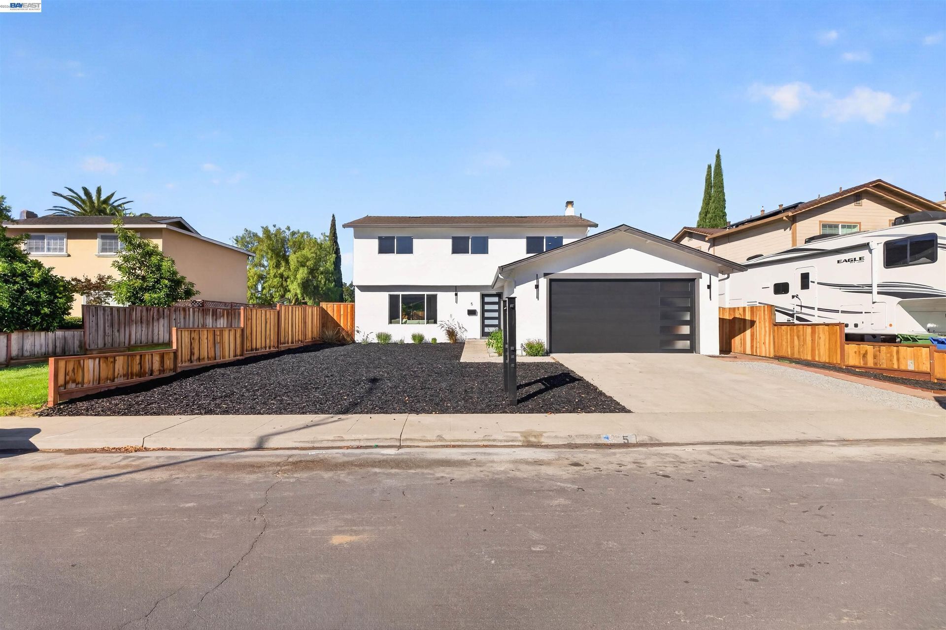
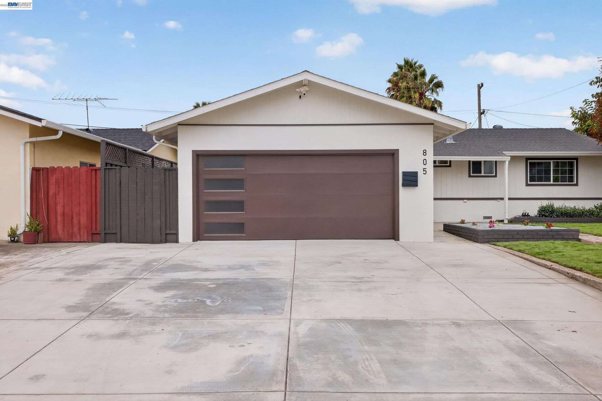
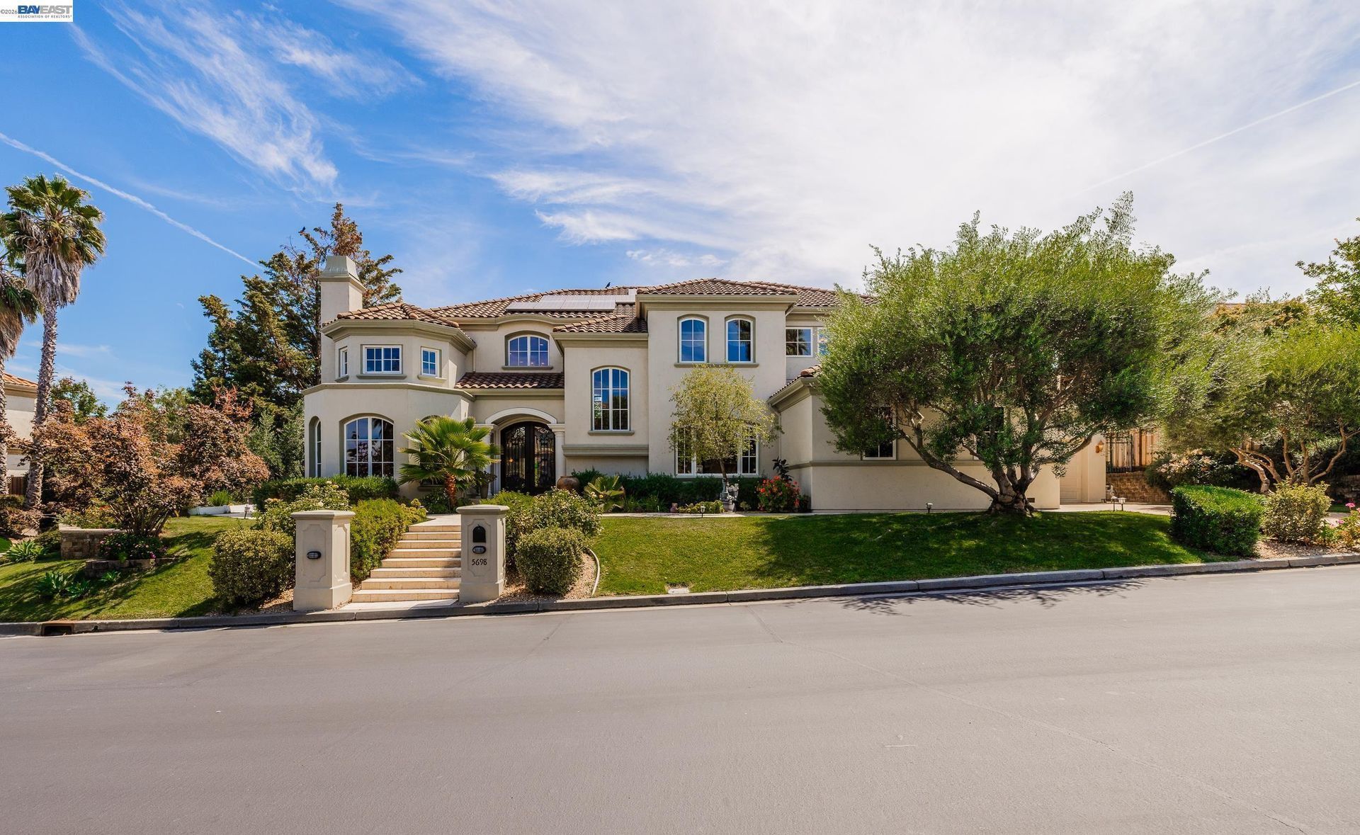
- Established Residential Areas: Many sections of Milpitas contain single family homes developed during different periods of the city’s postwar growth.
- Condos and Townhomes: Attached housing is found in several parts of the city, including areas near major transportation and commercial corridors.
- Transit Area Housing: Development around the Milpitas Transit Center includes higher density housing and mixed use planning associated with regional transportation.
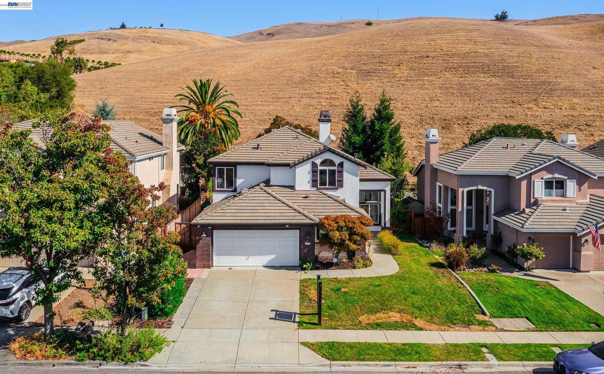
- Foothill Properties: Residential areas closer to the eastern hills can differ in elevation, lot configuration, views, road access, and proximity to open space.
- Accessory Dwelling Units: ADUs may also be part of the housing mix on qualifying residential properties.
💼 Business and Commercial Areas
- Great Mall Area: Great Mall contains outlet retail, restaurants, entertainment, and services near the transit district.
- Main Street and Calaveras Boulevard: The city’s central planning area includes housing, commercial activity, employment, transportation, and redevelopment opportunities.
- McCarthy Ranch Area: Northern Milpitas includes commercial and employment uses around McCarthy Boulevard.
- Employment Districts: Industrial, technology, office, and other employment uses remain an important component of land use in the western and northern parts of Milpitas.
📊 Real Estate Overview
Milpitas housing ranges from detached single family homes to condominiums, townhomes, multifamily residences, and newer transit oriented development. Property comparisons should account for housing type, lot size, square footage, condition, age, parking, outdoor space, nearby land uses, and access.
Location within the city can also affect which comparables are most relevant. A newer condominium near the transit district, an established detached home in an interior residential area, and a property closer to the foothills may require different comparable sale sets.
Residential
Residential inventory includes single family homes, attached homes, condominiums, townhomes, apartments, and other multifamily housing. Newer development has also been concentrated around the Metro and transit areas.
Commercial
Commercial real estate ranges from retail and restaurant spaces to offices, industrial buildings, technology related properties, and mixed use development. Great Mall, Main Street, Calaveras Boulevard, McCarthy Ranch, and employment districts each have different land use characteristics.
🌳 Parks, Trails and Local Attractions
- Ed R. Levin County Park: This 1,558 acre regional park provides a large trail system, picnic areas, fishing, play areas, and hillside recreation.
- Great Mall: The shopping center provides outlet retail, dining, entertainment, and access to nearby transportation connections.
- Jose Higuera Adobe Park: This 5.5 acre city park contains an adobe dating to the 1830s, interpretive exhibits, picnic areas, lawns, and playgrounds.
- Alviso Adobe Park: Built around the site of the 1837 José Maria Alviso Adobe, the park preserves historic agricultural features, interpretive displays, public art, and heritage landscaping.
- Murphy Park: This 8.7 acre neighborhood park includes playgrounds, volleyball, picnic areas, public art, and a paved perimeter path.
- Sierra Vista Open Space Preserve: Located in the eastern foothills of Santa Clara County, Sierra Vista provides miles of trails across grassland, chaparral, and oak woodland. It is outside Milpitas and is best considered a nearby regional recreation option.
🏘️ Residential Sections of Milpitas
- Central Milpitas: Residential streets around Calaveras Boulevard, Main Street, Abel Street, and nearby areas include established housing alongside commercial and redevelopment areas.
- Park Victoria Area: This broad residential corridor extends through eastern Milpitas and includes parks, schools, local streets, and connections toward the hills.
- Yellowstone and Escuela Parkway Areas: These sections contain residential neighborhoods, parks, and several Milpitas Unified campuses.
- Great Mall and Transit Area: Housing around Great Mall Parkway and the Milpitas Transit Center includes newer multifamily and transit oriented development.
- Eastern Foothill Area: Properties closer to Calaveras Road and the hills can have different elevation, lot, access, and open space characteristics from homes farther west.
🚆 Transportation and Regional Access
- Milpitas is positioned near Interstate 680, Interstate 880, and State Route 237, providing road connections toward San Jose, Fremont, Santa Clara, Sunnyvale, and other parts of the South Bay and East Bay.
- The Milpitas BART Station is located within the VTA Milpitas Transit Center and is the northernmost BART station in Santa Clara County.
- VTA’s Orange Line serves the Milpitas Transit Center and provides light rail connections toward Mountain View, Great America, and East San Jose. Local and regional bus routes provide additional service.
- These transportation connections help explain the city’s long used Crossroads of Silicon Valley description.
📚 Schools and Education
- Milpitas High School: The district’s comprehensive high school was built in 1969 and includes a joint use San Jose City College Extension Campus that supports dual enrollment opportunities.
- MUSD Middle College High School: Combines honors level high school coursework with San Jose City College classes through pathways that include business administration, education and social work, and health sciences.
- Rancho Milpitas Middle School: Received California Distinguished School recognition in 2021 and National Forum Schools to Watch recognition in 2026.
- Thomas Russell Middle School: Offers middle school core academics together with electives that include STEM Dojo, art, leadership, yearbook, band, orchestra, chorus, and academic intervention courses.
- Randall World Languages School: Provides a trilingual program incorporating English, Spanish, and Mandarin from transitional kindergarten through grade 6 and beyond.
✅ What Can You Do?
For Buyers
- Compare established residential areas, newer transit oriented housing, attached properties, and foothill locations based on the type of home you are considering.
- Review transportation access according to your regular travel needs without relying only on general proximity to a freeway or transit station.
- Consider surrounding land uses when evaluating properties near commercial, industrial, transit, or major transportation corridors.
- Compare recent sales using properties with similar housing type, age, lot characteristics, condition, parking, and location within Milpitas.
- Review property disclosures and site specific considerations rather than relying on general assumptions about a particular part of the city.
For Sellers
- Identify the property features most relevant to its Milpitas location, such as housing type, lot, improvements, transportation access, nearby parks, or commercial connections.
- Use comparable sales from properties that share similar location, size, condition, development period, and housing type.
- Describe transportation, parks, and shopping access factually without making assumptions about a buyer’s preferred lifestyle.
- For properties near the foothills or major transportation corridors, present site and access characteristics clearly in the marketing.
- Build listing materials around verifiable property and location features rather than demographic descriptions or broad claims about neighborhood desirability.
❓ FAQ
Q: Why is Milpitas called the Crossroads of Silicon Valley?
A: The description reflects Milpitas’ position between major South Bay and East Bay transportation routes, employment areas, and regional transit connections.
Q: What are some major places and attractions in Milpitas?
A: Great Mall, Ed R. Levin County Park, Jose Higuera Adobe Park, Alviso Adobe Park, and the Milpitas Transit Center are among the city’s notable commercial, recreational, historic, and transportation locations.
Q: What types of housing are found in Milpitas?
A: Milpitas includes detached single family homes, townhomes, condominiums, apartments, and other multifamily housing, along with newer development around the transit area. Housing characteristics differ by location and development period.
🔚 Conclusion
Milpitas includes established residential areas, newer housing, commercial and employment districts, local parks, regional shopping, and foothill recreation. These different land uses and housing settings create meaningful variation across the city. For real estate research, housing type, property condition, surrounding uses, access, and comparable sales provide useful context when evaluating an individual property.
This blog is for general informational purposes only and does not constitute legal, tax, accounting, investment, or professional advice. Always consult with qualified professionals before making any decisions based on this content. School information including addresses, phone numbers, and emails was accurate as of the blog’s published date but may change without notice. Please verify directly with the school or institution. This content is provided “as is,” without warranties of any kind. If you are currently under an exclusive agreement with another real estate broker, this blog is not intended as a solicitation.
Contact Us