
HAYWARD: THE HEART OF THE BAY
Updated November 06, 2026

Hayward: The Heart of The Bay
Hayward is shaped by three contrasting parts of the East Bay landscape: the San Francisco Bay shoreline, the developed flatlands surrounding Downtown and major corridors, and residential hills rising east of Mission Boulevard. Two BART stations, the San Mateo Hayward Bridge, major employment districts, and extensive postwar housing connect these areas within one city.
📝 Introduction
Hayward was incorporated in 1876 and expanded substantially after World War II as farms and ranches gave way to residential subdivisions, commercial corridors, and industrial development. Its older Downtown remains a recognizable center, while later growth extended west toward the Bay and east into the hills. More recent planning has added housing and mixed use development around BART, Mission Boulevard, and former industrial properties.
📍 What Defines Hayward
- B Street, Main Street, City Hall, Hayward BART, shops, restaurants, housing, and civic spaces form Hayward's traditional Downtown district.
- Mission Boulevard passes through residential and commercial areas along the eastern side of the developed city while generally following the path of the Hayward Fault.
- Manufacturing, biotechnology, food production, research, warehousing, and technology uses occupy a broad employment area across western and southwestern Hayward.
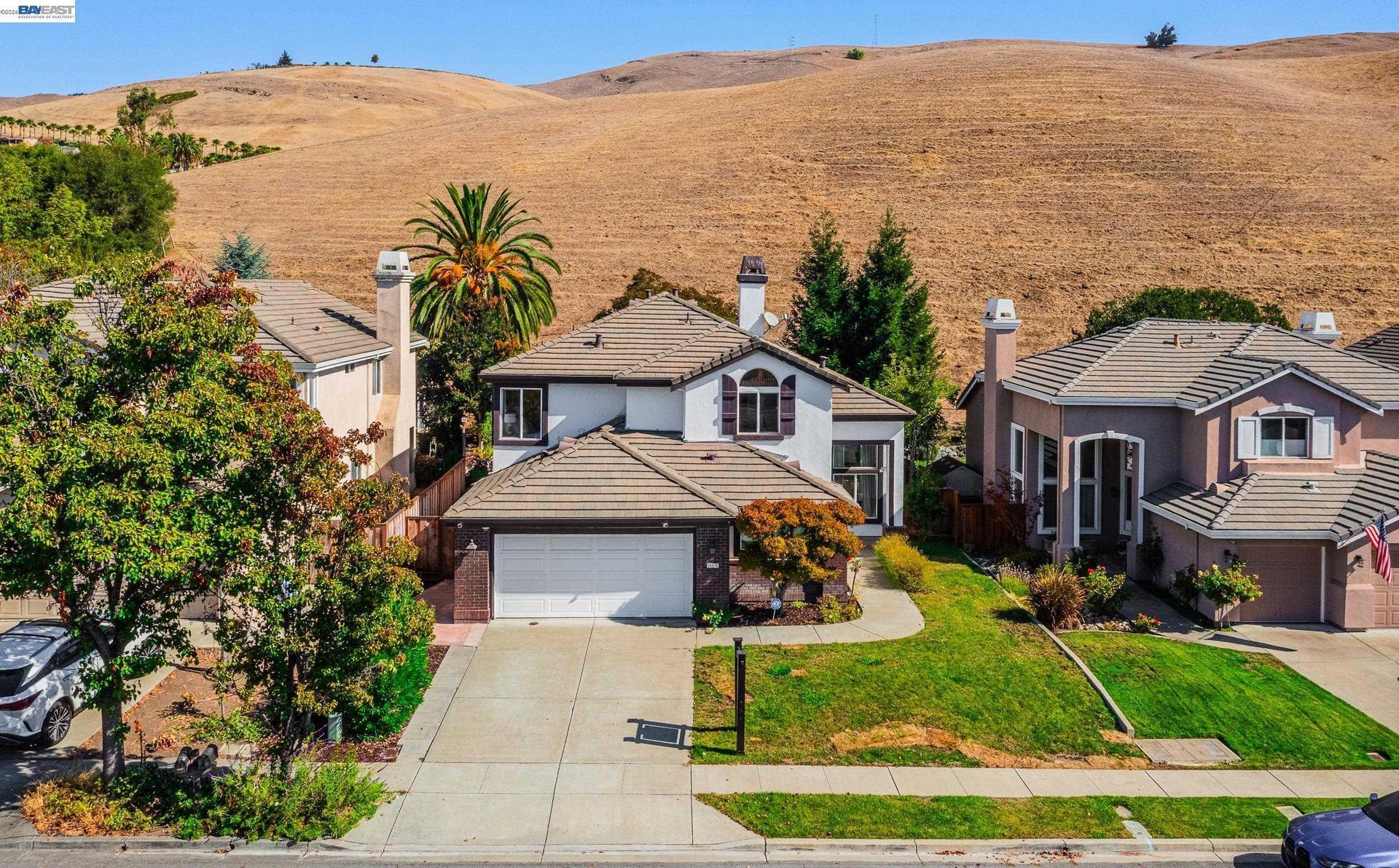
- Residential streets climb east from the flatter portions of Hayward toward Cal State East Bay, ridgelines, open land, and regional parks.
- Wetlands, tidal marshes, industrial land, trails, and the eastern approach to the San Mateo Hayward Bridge distinguish the city's Bay shoreline.
🎉 Fun Fact
When Hayward incorporated on March 11, 1876, its official name was Haywards, reflecting the name of William Hayward's well known hotel. The final letter was later dropped, producing the city's present name.
🏡 Residential Setting and Housing
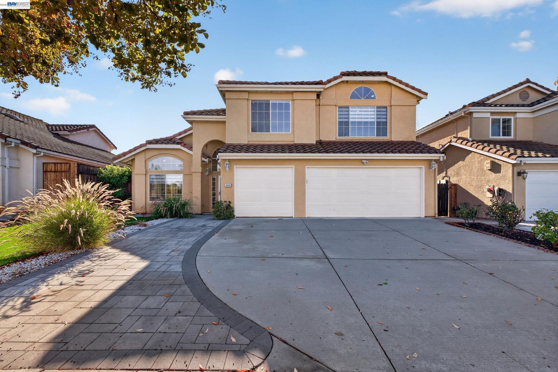
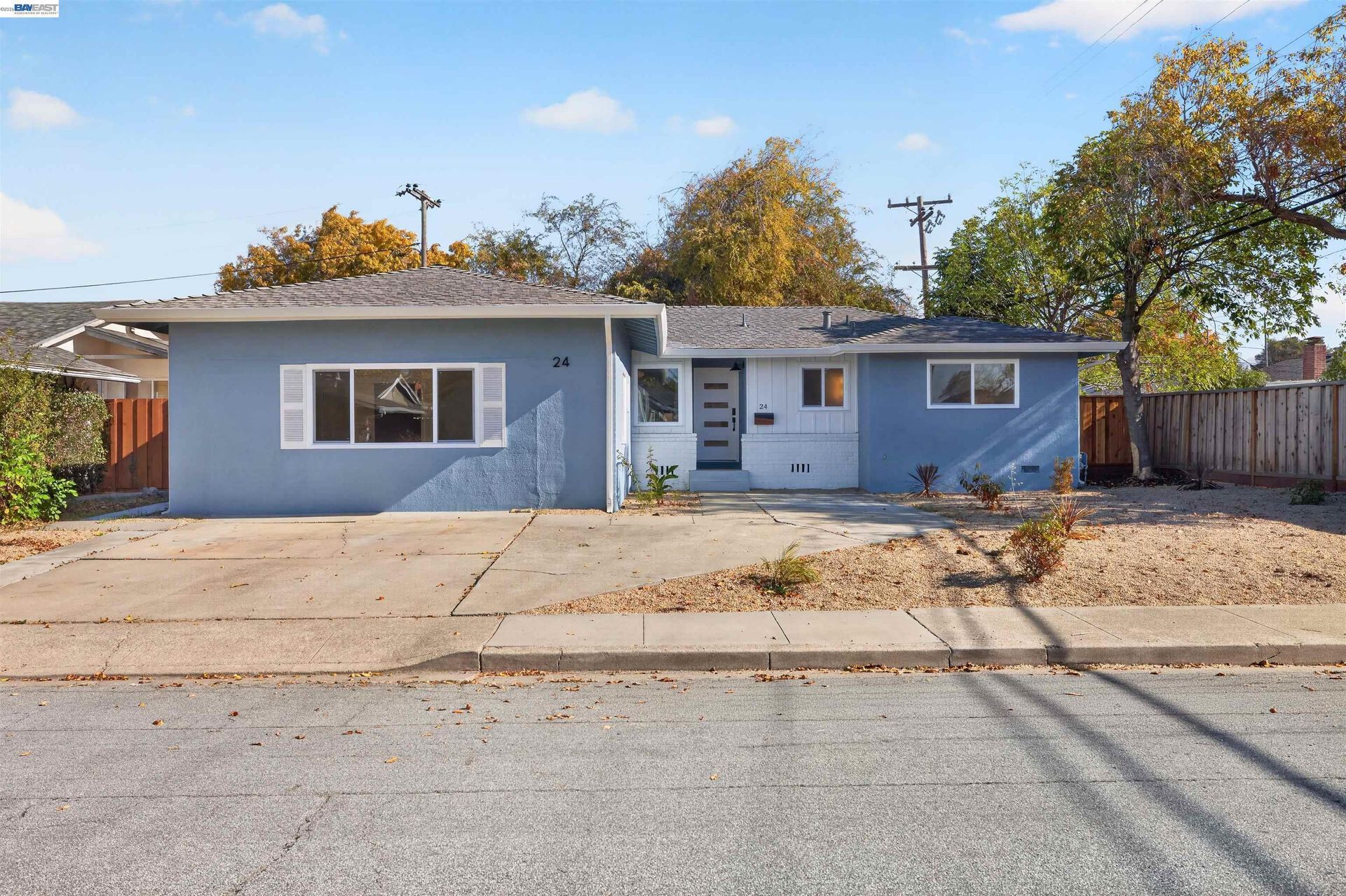
- Postwar Homes: Large portions of Hayward contain detached houses developed during the city's rapid residential expansion in the 1950s, 1960s, and 1970s.
- Hillside Properties: Eastern Hayward includes homes on sloped streets where elevation, drainage, retaining improvements, road layout, and surrounding terrain can become important property characteristics.
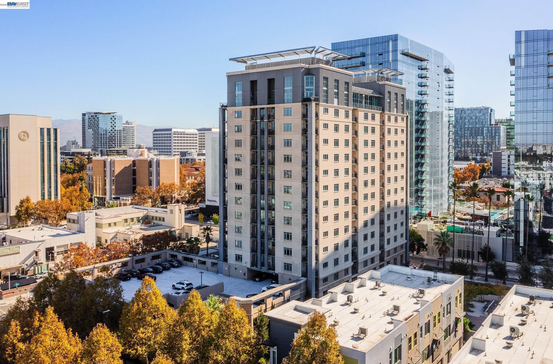
- Downtown and Cannery Housing: Newer residential projects have added apartments, townhomes, and other housing near the historic center and former industrial land.
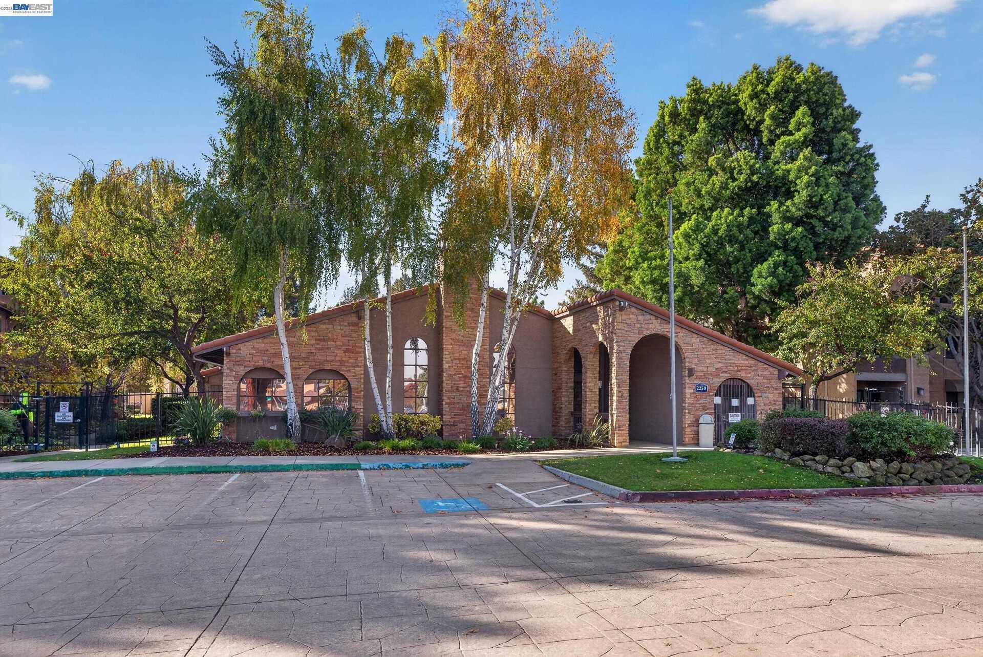
- Townhomes and Condominiums: Attached housing appears throughout the city, particularly near transit, commercial corridors, and later development areas.
- South Hayward Housing: Development near South Hayward BART includes a greater concentration of transit related housing and mixed use planning.
💼 Business and Employment Areas
- Industrial Technology and Innovation Corridor: This is Hayward's principal industrial employment area, where larger sites accommodate manufacturing, biotechnology, food production, research, distribution, and technical businesses.
- Downtown Hayward: Rather than functioning as an industrial center, Downtown concentrates civic offices, restaurants, local businesses, entertainment uses, services, housing, and access to Hayward BART.
- Mission Boulevard: The corridor is undergoing continued transition toward mixed use development, placing housing, neighborhood businesses, services, and transit oriented projects along one of the city's oldest transportation routes.
- Southland and Hesperian Boulevard: Regional shopping and larger retail properties distinguish this section of Hayward from the smaller storefront pattern found Downtown.
- Higher Education Areas: California State University East Bay and Chabot College create institutional employment centers while also supporting education, research, workforce programs, and related services.
📊 Real Estate Overview
Hayward real estate changes considerably between the shoreline, central flatlands, Downtown, established subdivisions, BART areas, and eastern hills. Construction period, terrain, lot configuration, nearby land uses, transportation corridors, and redevelopment activity can all differ within the city.
Property Differences by Setting
- Downtown and BART area properties can involve denser development, attached housing, smaller lots, parking considerations, and greater exposure to commercial or transit activity.
- Established flatland neighborhoods generally have different street patterns, lot configurations, construction periods, and surrounding uses from homes in the Hayward Hills.
- Hillside properties can require closer review of slope, drainage, retaining improvements, vegetation, driveway access, and their relationship to nearby open land.
- Western Hayward properties may have closer relationships to industrial areas, major transportation corridors, creeks, wetlands, or low lying land near the Bay.
Development and Land Use Context
- Hayward maintains planning and hazard information for fault zones, hillside areas, wildfire conditions, flooding, zoning, and redevelopment districts. The applicable maps and requirements should be reviewed for the individual parcel rather than applied broadly to an entire neighborhood.
- Properties near Mission Boulevard may require additional review of fault information, while covered residential properties in the Hayward Hills can also be subject to current wildfire and defensible-space requirements.
🌳 Parks, Trails and Local Attractions
- Hayward Japanese Gardens: California's oldest Japanese garden provides a carefully designed landscape of stone, water, bridges, plants, and traditional garden structures near Downtown.
- Hayward Regional Shoreline: More than 1,800 acres of marshes, seasonal wetlands, and trails create an extensive Bay edge landscape that contrasts with Hayward's developed urban areas.
- Garin Regional Park: Ranch land, rolling hills, ridgelines, ponds, and trail connections make this eastern park a direct transition from residential Hayward into larger regional parklands.
- Sulphur Creek Nature Center: Wildlife rehabilitation and environmental education are the primary focus here, with native animals, educational programs, and a wildlife hospital located along D Street.
- Downtown Murals and Heritage Plaza: Public art and historical interpretation add a cultural component to Downtown that differs from the city's larger recreational parks.
🏘️ Residential Settings Across Hayward
- Downtown and Central Hayward: Housing around Downtown includes older residential streets, apartments, townhomes, newer projects, civic facilities, businesses, and Hayward BART.
- Mission Boulevard Area: Residential development along and near Mission Boulevard ranges from established homes to newer attached and mixed use projects along one of Hayward's principal corridors.
- Hayward Hills: Neighborhoods east of Mission Boulevard rise toward Cal State East Bay, open land, regional parks, and higher elevations with more varied terrain.
- South Hayward: Residential areas around South Hayward BART combine established neighborhoods with newer transit related housing and continuing redevelopment.
- Western Hayward: Housing west of the central city has closer connections to Hesperian Boulevard, Interstate 880, larger commercial properties, employment districts, and the Bay shoreline.
🚆 Transportation and Regional Access
- Interstate 880 runs through western Hayward and connects the city with Oakland, San Leandro, Union City, Fremont, and San Jose.
- State Route 92 crosses northern Hayward and continues west across the San Mateo Hayward Bridge toward the Peninsula.
- Mission Boulevard provides a major surface connection through eastern Hayward and continues toward neighboring East Bay communities.
- Hayward has two BART stations: Hayward Station near Downtown and South Hayward Station on Dixon Street.
- The Hayward Amtrak station on Meekland Avenue is served by Capitol Corridor trains.
- AC Transit operates multiple routes linking Hayward BART, South Hayward, Hesperian Boulevard, Mission Boulevard, Cal State East Bay, Southland, and surrounding communities.
📚 Schools and Education
- Hayward High School: Academic options include Advanced Placement and honors courses, AVID, Biomedical Science, Engineering, Puente, Career Technical Education pathways, and concurrent enrollment through Chabot College.
- Tennyson High School: Students can select from programs that include Biomedical Science, Farm 2 Fork, Advanced Placement, AVID, and Chabot College concurrent enrollment.
- Bret Harte Middle School: Electives include engineering, Mandarin, instrumental music, art, AVID, Puente, and multimedia coursework alongside the school's core middle grade curriculum.
- Burbank Elementary School: Burbank hosts Hayward Unified's Spanish Two Way Dual Language Immersion program, with instruction divided between English and Spanish.
- Stonebrae Elementary School: Located in the Hayward Hills, Stonebrae hosts the district's Mandarin Two Way Dual Language Immersion program.
✅ What Can You Do?
For Buyers
- Determine whether the property is in the central flatlands, a hillside area, near the shoreline, or within a transit and redevelopment district because each setting presents different property considerations.
- For homes near Mission Boulevard or other mapped fault areas, review the City's current fault zone information and the property's natural hazard disclosures.
- For hillside properties, check whether the residence is within Hayward's Wildland Urban Interface and whether current defensible space requirements apply to the transaction.
- When researching western Hayward, use current flood and shoreline planning information to understand the property's relationship to low lying land, creeks, and Bay related conditions.
- Near Downtown or either BART station, review approved development and transit planning documents rather than assuming nearby parcels will remain unchanged.
For Sellers
- Use current City mapping to identify relevant zoning, fault, flood, and planning information before describing the property's physical setting.
- For hillside homes covered by current wildfire transfer requirements, confirm whether a defensible space inspection or related documentation applies.
- Describe proximity to Hayward BART, South Hayward BART, Downtown, or major roadways with specific routes or distances rather than broad accessibility claims.
- For properties near the Industrial Technology and Innovation Corridor, present surrounding commercial or industrial uses accurately without predicting their effect on future property value.
- For older homes, organize documentation for additions, roofing, electrical systems, plumbing, foundations, seismic work, and other substantial improvements.
❓ FAQ
Q: Why is Hayward called the Heart of the Bay?
A: The City uses the phrase to describe Hayward's central Bay Area position. The city connects with the Peninsula through State Route 92 and the San Mateo Hayward Bridge while also providing regional access through Interstate 880, BART, Amtrak, and major East Bay roads.
Q: How many BART stations are in Hayward?
A: Hayward has two operating BART stations. Hayward Station serves the Downtown area, while South Hayward Station serves the southern portion of the city and surrounding transit related development.
Q: Why is the Hayward Fault relevant to property research?
A: The Hayward Fault crosses the city and generally follows the Mission Boulevard area. The City provides mapping for fault zones, and individual properties should be evaluated using current hazard reports, disclosures, and site specific records when applicable.
🔚 Conclusion
Hayward brings together landscapes and development patterns that are rarely represented by one part of the city alone. The shoreline, industrial corridor, historic Downtown, BART areas, postwar residential streets, Mission Boulevard, and eastern hills each contribute different property conditions. Looking at the specific location, construction history, surrounding land use, and applicable hazard information provides a clearer basis for researching Hayward real estate.
This blog is for general informational purposes only and does not constitute legal, tax, accounting, investment, or professional advice. Always consult with qualified professionals before making any decisions based on this content. School information including addresses, phone numbers, and emails was accurate as of the blog’s published date but may change without notice. Please verify directly with the school or institution. This content is provided “as is,” without warranties of any kind. If you are currently under an exclusive agreement with another real estate broker, this blog is not intended as a solicitation.
Contact Us