
Cupertino: Silicon Valley & Western Foothills
Updated November 06, 2026

Cupertino: Silicon Valley & Western Foothills
Cupertino stretches from the lower Santa Cruz Mountain foothills on the west to major Silicon Valley employment and redevelopment areas on the east and northeast. Monta Vista, Stevens Creek, and open space shape the western side, De Anza Boulevard and the Civic Center anchor the middle of the city, while Wolfe Road, The Rise, Main Street Cupertino, and Apple Park create a more commercial and employment focused setting farther east and northeast.
📝 Introduction
Cupertino changes gradually from west to east. The western edge reaches toward the Santa Cruz Mountain foothills, where Monta Vista, Stevens Creek, parks, and open space influence the landscape. Moving east, the city becomes more developed around De Anza Boulevard, Stevens Creek Boulevard, the Civic Center, and established residential subdivisions. Farther east and northeast, larger commercial properties, The Rise redevelopment, Interstate 280, Main Street Cupertino, and Apple Park create a stronger employment and mixed use presence.
📍 What Defines Cupertino
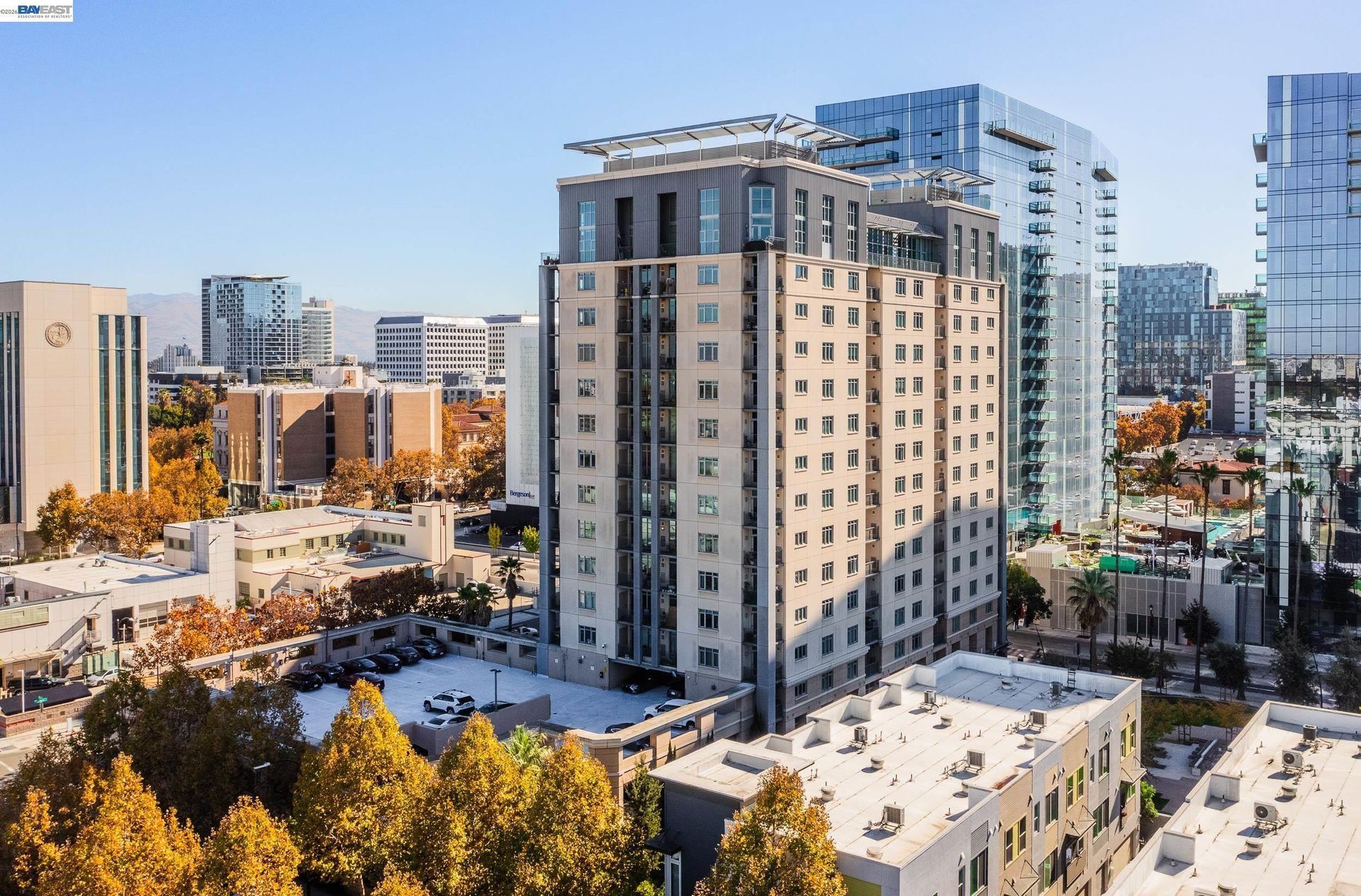
- Monta Vista, Stevens Creek, lower foothill terrain, and nearby open space distinguish western Cupertino from the flatter central and eastern sections.
- De Anza Boulevard, the Civic Center, Memorial Park, De Anza College, and the historic Crossroads area form an important central spine through Cupertino.
- Stevens Creek Boulevard crosses much of the city from Highway 85 toward the eastern boundary and connects several principal commercial and mixed use areas.
- Wolfe Road, Main Street Cupertino, and the former Vallco site form one of the city's most significant redevelopment areas.
- Apple Park occupies a large northeastern site near Interstate 280, Wolfe Road, Homestead Road, and Tantau Avenue close to Cupertino's Sunnyvale and Santa Clara boundaries.
🎉 Fun Fact
Cupertino's name traces back to Stevens Creek. During the 1776 Juan Bautista de Anza expedition, Pedro Font named the stream Arroyo San José de Cupertino. The settlement that later developed nearby eventually adopted Cupertino as its name.
🏡 Residential Setting and Housing
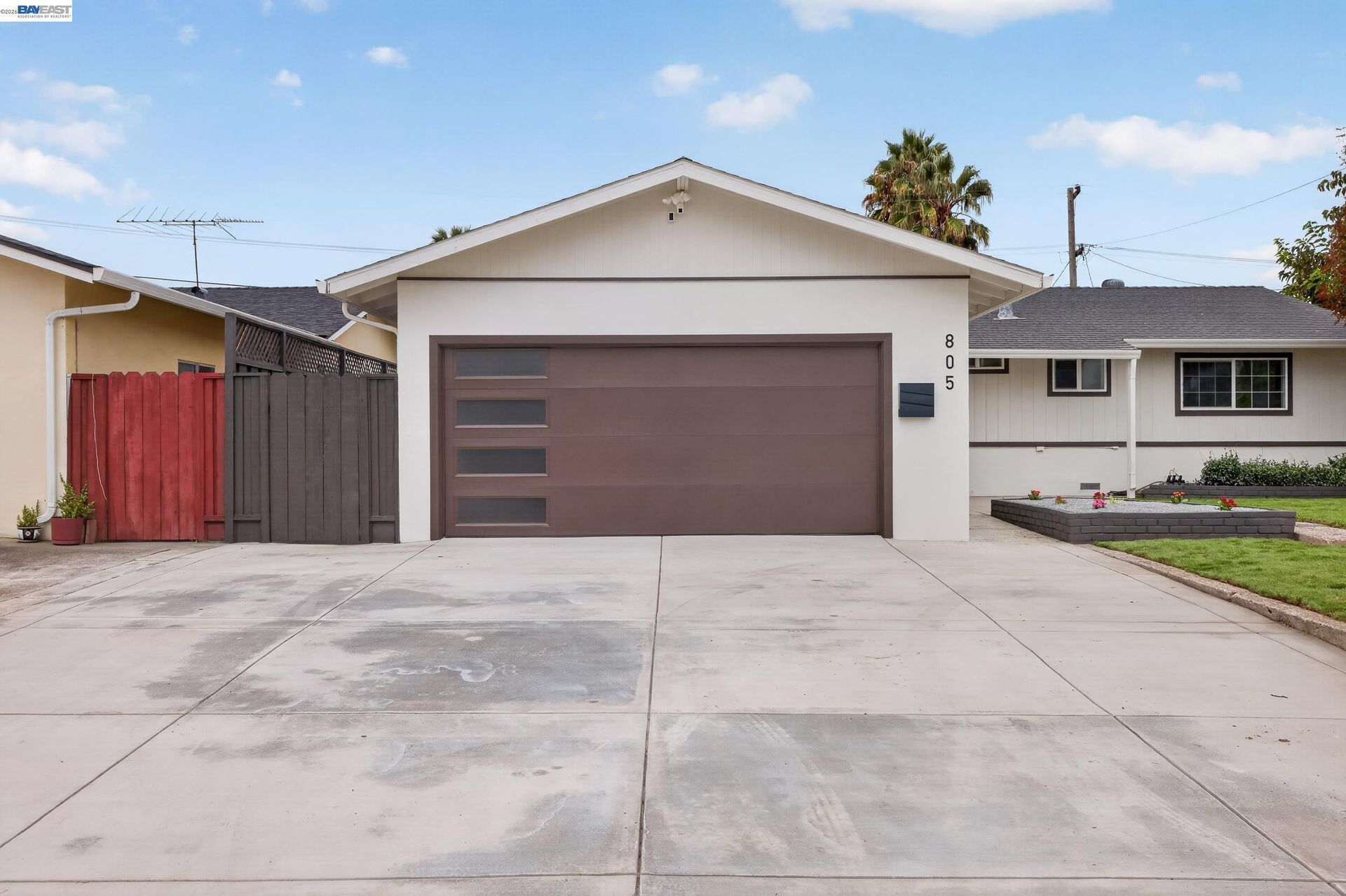
- Postwar Homes: Large portions of Cupertino were developed when orchards and vineyards were converted into residential subdivisions during the twentieth century.
- Monta Vista Properties: Western Cupertino includes older residential development with lot patterns and street layouts that differ from many later subdivisions.
- Condos and Townhomes: Attached housing is found near commercial corridors, employment areas, and newer mixed use development.
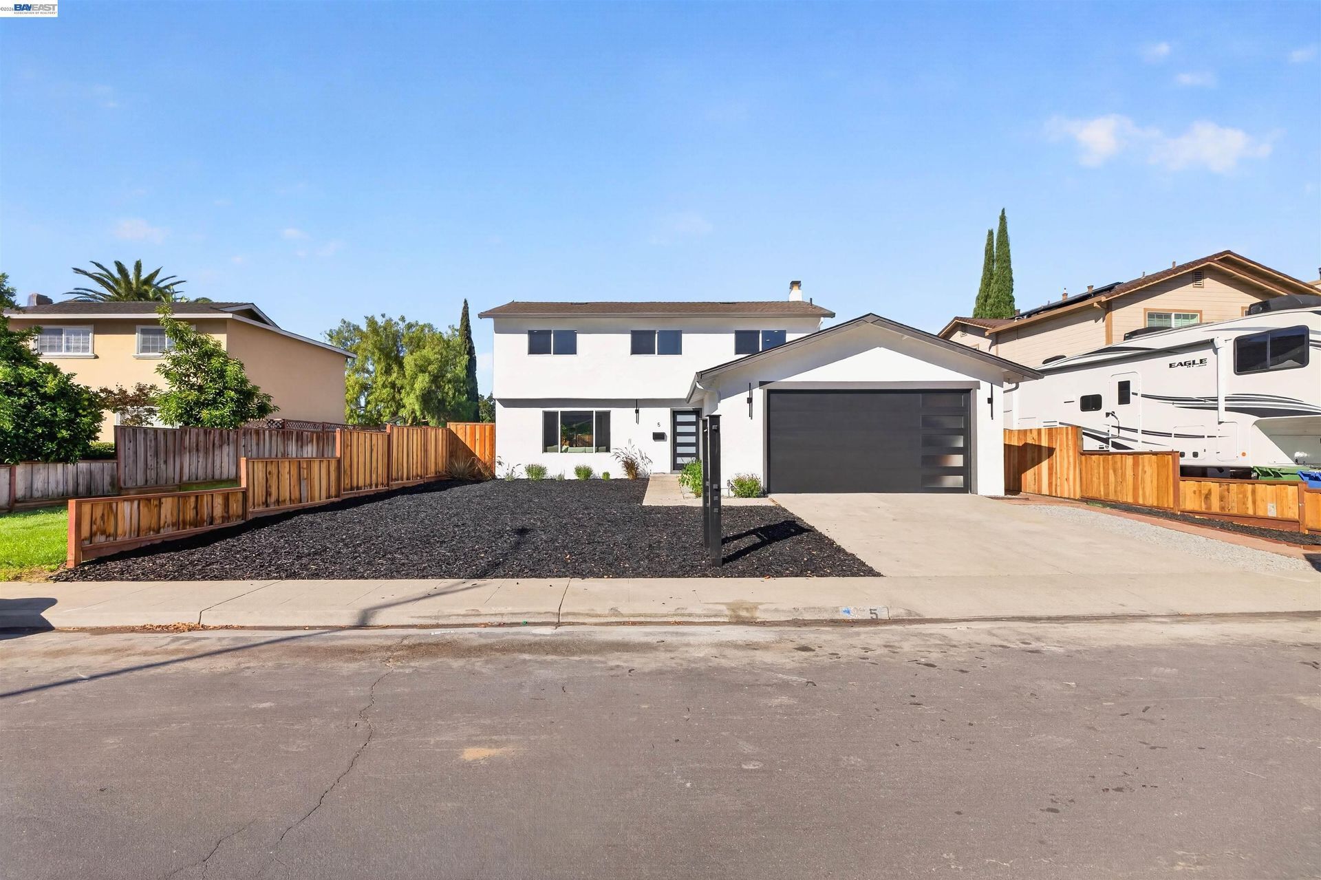
- Remodeled and Rebuilt Homes: Many original residences have been expanded, substantially renovated, or replaced with newer construction.
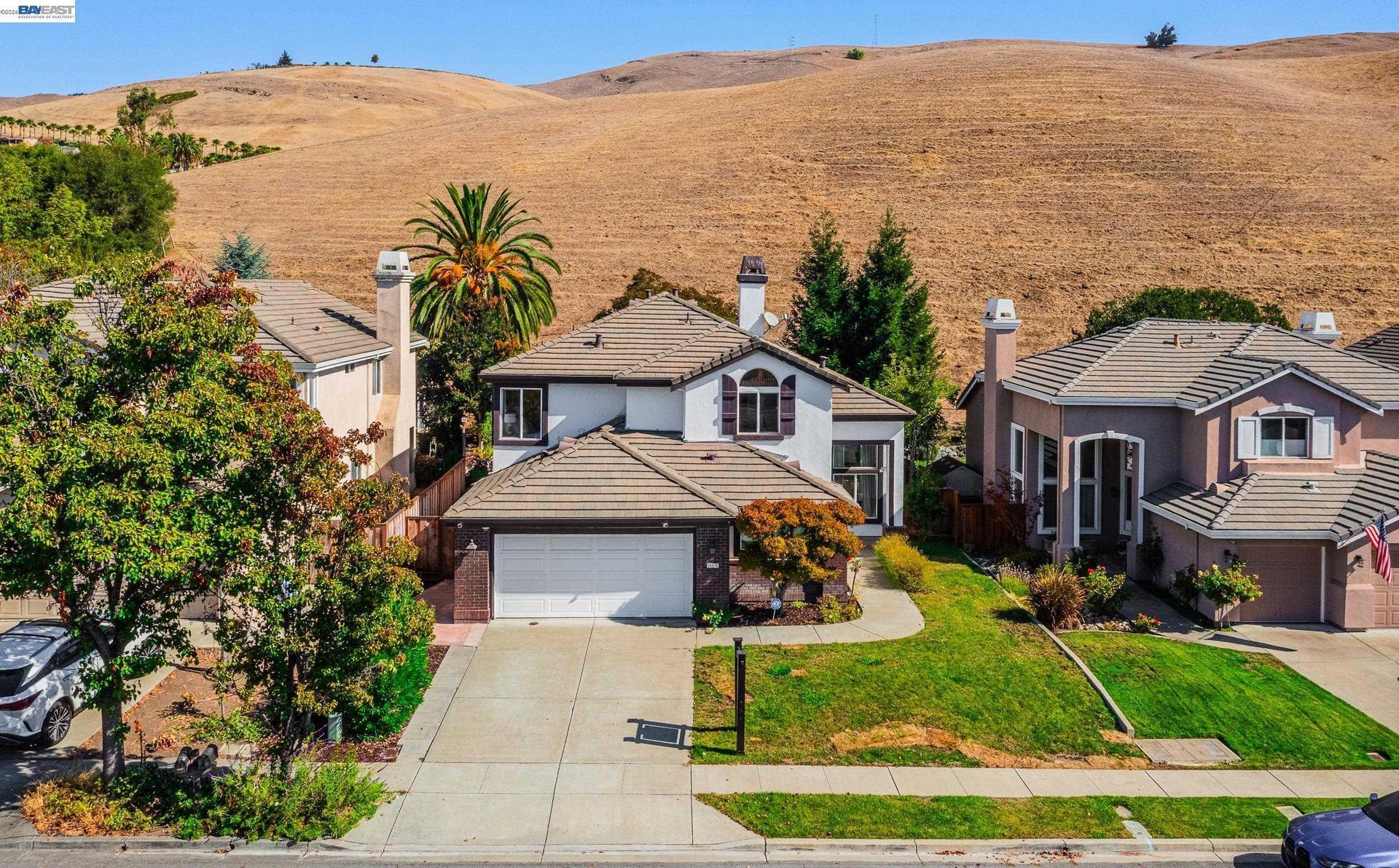
- Foothill Edge Properties: Homes farther west can have a closer relationship to creeks, vegetation, open space, changing elevation, and different road configurations.
💼 Business and Employment Areas
- Apple Park: This major corporate campus gives northeastern Cupertino a concentrated office and employment presence unlike the smaller commercial districts elsewhere in the city.
- Stevens Creek Boulevard: Retail, restaurants, professional services, housing, automotive uses, and redevelopment sites line this major east to west corridor.
- De Anza Boulevard: Offices, businesses, educational uses, lodging, and local services give this north to south route a different role from Stevens Creek Boulevard.
- Main Street Cupertino: Restaurants, shops, offices, public spaces, and housing come together in a newer mixed use district near Wolfe Road.
- The Rise and Vallco District: Redevelopment of the former Vallco site is introducing housing, commercial space, streets, public areas, and other new uses near Interstate 280.
📊 Real Estate Overview
Cupertino's residential landscape reflects the conversion of former orchard land into twentieth century subdivisions, followed by decades of remodeling and rebuilding. Many streets still contain homes from the original development periods, but additions, ADUs, larger replacement homes, and major interior renovations have created substantial variation within individual neighborhoods.
Property Differences by Setting
- Older subdivision homes may look similar from the street while differing significantly in permitted square footage, additions, ADUs, rebuilding history, major systems, and interior improvements.
- Western properties can involve different terrain, creek relationships, vegetation, road configurations, and proximity to open space from homes in flatter central sections.
- Properties closer to Stevens Creek Boulevard, Wolfe Road, Interstate 280, Apple Park, or major mixed use areas may have different traffic, parking, density, and surrounding land-use conditions from interior residential streets.
- Condos and townhomes can also involve association documents, shared maintenance, parking provisions, insurance, and common areas that require a different review from detached homes.
Development and Land Use Context
- The Rise at the former Vallco site remains an approved mixed use redevelopment project. The City approved a third project modification in February 2026 and a partial plan modification for Blocks 1 and 2 in August 2026, so nearby property analysis should rely on the current approved plans and construction information rather than earlier versions of the project.
- Cupertino maintains parcel-specific zoning and development information, and the City advises property owners to verify zoning with the Planning Division before making significant land-use decisions.
- For additions, ADUs, rebuilding, or other substantial residential changes, current development standards and permit requirements should be reviewed for the individual parcel before assuming what can be constructed.
🌳 Parks, Trails and Local Attractions
- McClellan Ranch Preserve: This former ranch property along Stevens Creek combines natural habitat, historic buildings, environmental education, and creekside open space.
- Blackberry Farm: Located along Stevens Creek, Blackberry Farm connects recreation facilities, picnic areas, walking paths, swimming, and the adjoining golf course.
- Memorial Park: Positioned near the Civic Center and De Anza College, this large city park functions as one of Cupertino's principal public gathering and recreation spaces.
- Rancho San Antonio: Immediately west of Cupertino, this regional open space extends into the foothills and provides access to an extensive trail network.
- Stevens Creek Corridor: The creek links natural, recreation, and historic sites through western Cupertino before continuing across the Santa Clara Valley.
🏘️ Residential Settings Across Cupertino
- Monta Vista and Western Cupertino: Older residential development sits closest to the foothills, Stevens Creek, McClellan Ranch, Blackberry Farm, and roads leading toward regional open space.
- West Central Cupertino: Neighborhoods around Highway 85 and western Stevens Creek Boulevard combine established housing with parks, educational facilities, and local commercial uses.
- Central Cupertino: Homes around De Anza Boulevard and the Civic Center sit near the Crossroads area, Memorial Park, De Anza College, and the city's central commercial network.
- East Central Cupertino: Residential streets around Wolfe Road and eastern Stevens Creek Boulevard have a closer relationship to Main Street Cupertino, The Rise, Interstate 280, and larger commercial properties.
- Northeastern Cupertino: Housing near Homestead Road and the Santa Clara and Sunnyvale boundaries sits closest to Apple Park and other major office and employment uses.
🚆 Transportation and Regional Access
- Interstate 280 crosses northern Cupertino and provides regional connections toward San Jose, Santa Clara, Sunnyvale, and the Peninsula.
- Highway 85 runs along the western side of the city and connects with Interstate 280 and other South Bay routes.
- Stevens Creek Boulevard provides the principal east to west surface connection through Cupertino.
- De Anza Boulevard, Wolfe Road, Stelling Road, and Foothill Boulevard provide additional north to south travel routes.
- VTA operates bus service through Cupertino, while the city does not have its own BART or Caltrain station.
📚 Schools and Education
- Monta Vista High School: Students can select from extensive offerings in science, world languages, visual arts, drama, computer science, interdisciplinary research, and Career Technical Education.
- Cupertino High School: Performing arts are especially visible through band, choir, orchestra, and drama, while other student programs include robotics, business organizations, speech and debate, and peer mentoring.
- Kennedy Middle School: Student leadership is a notable part of campus life through Student Council and the WEB program, where eighth grade students help incoming sixth graders transition to middle school.
- Lawson Middle School: Clubs, athletics, performance ensembles, enrichment choices, and leadership opportunities extend the school experience beyond the standard academic schedule.
- Murdock Portal Elementary School: This alternative district program uses open, multi age learning villages where groups of students work with teams of teachers rather than following only a traditional single grade classroom structure.
✅ What Can You Do?
For Buyers
- Compare properties along Cupertino's western foothill edge with homes near central and northeastern employment areas because terrain, road patterns, surrounding uses, and access can differ considerably.
- When looking near the former Vallco site, review the latest approved plans and current construction information for The Rise rather than relying on earlier versions of the redevelopment.
- For an older subdivision home, determine how much of the original structure remains after additions, rebuilds, ADUs, or previous remodeling.
- Use Stevens Creek Boulevard and De Anza Boulevard as reference points when comparing how easily different parts of the city connect with shopping, employment, parks, and regional roads.
- For western Cupertino homes, examine how Stevens Creek, foothill terrain, vegetation, and nearby open space relate to the individual parcel.
For Sellers
- Describe the home's position within Cupertino's west to east pattern so buyers can understand whether the property relates more closely to foothills, central corridors, redevelopment, or major employment areas.
- For extensively remodeled properties, show how the present floor plan, additions, ADU, outdoor improvements, and major systems differ from the home's original construction.
- When a property is near The Rise, describe the current approved redevelopment and construction status factually without predicting future property values or completion effects.
- Use nearby landmarks such as De Anza College, Stevens Creek, Blackberry Farm, Main Street Cupertino, or Apple Park when they accurately help explain the property's surroundings.
- For condos and townhomes, clearly present parking, association responsibilities, common areas, and nearby commercial or mixed use development.
❓ FAQ
Q: How does Cupertino change from west to east?
A: Western Cupertino is closer to foothills, Stevens Creek, parks, and open space. Central Cupertino is organized around De Anza Boulevard, civic facilities, and established neighborhoods, while eastern and northeastern sections have stronger connections to major commercial properties, Interstate 280, redevelopment, and technology employment.
Q: How does Stevens Creek shape western Cupertino?
A: Stevens Creek runs through western Cupertino near McClellan Ranch Preserve and Blackberry Farm, connecting residential areas with parks, natural habitat, recreation, and the lower foothill landscape.
Q: Does Cupertino have a traditional downtown?
A: Cupertino does not have one historic downtown comparable to some neighboring cities. Commercial and civic activity is distributed among Stevens Creek Boulevard, De Anza Boulevard, Main Street Cupertino, the Civic Center, and other business and employment areas.
🔚 Conclusion
Cupertino's geography becomes clearer when viewed from west to east. Foothills, creeks, parks, and older residential areas shape the western edge. The center revolves around De Anza Boulevard, Stevens Creek Boulevard, civic uses, and established neighborhoods. Eastern and northeastern Cupertino introduce larger commercial sites, redevelopment, Interstate 280, and major technology employment. A property's position within this pattern can influence its surroundings, road access, terrain, and nearby land uses.
This blog is for general informational purposes only and does not constitute legal, tax, accounting, investment, or professional advice. Always consult with qualified professionals before making any decisions based on this content. School information including addresses, phone numbers, and emails was accurate as of the blog’s published date but may change without notice. Please verify directly with the school or institution. This content is provided “as is,” without warranties of any kind. If you are currently under an exclusive agreement with another real estate broker, this blog is not intended as a solicitation.
Contact Us