
Burlingame: The City of Trees
Updated October 14, 2026
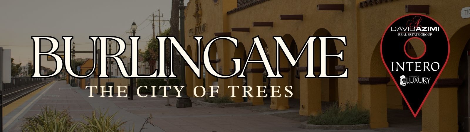
Burlingame: The City of Trees
Burlingame is a Peninsula city known as the City of Trees, with established residential areas, two prominent commercial districts, Caltrain service, Bayfront development, parks, and access to San Francisco International Airport. Its real estate includes detached homes, condominiums, apartments, multifamily properties, mixed use development, and commercial properties along several distinct corridors.
📝 Introduction
Burlingame developed around the Peninsula railroad and is known for its mature tree canopy, established neighborhoods, and long connection to the San Francisco Bay. The city’s early residential growth, commercial centers, and location on the Peninsula have shaped its development over time. Differences in architecture, lot size, development period, and property setting provide useful context when researching Burlingame real estate.
📍 What Defines Burlingame
- Burlingame is often referred to as the City of Trees, reflecting the mature tree canopy found along many residential streets and public areas.
- Burlingame Avenue forms the city’s primary downtown commercial district with shops, restaurants, offices, and surrounding residential development.
- Broadway provides another established shopping and dining district between California Drive and El Camino Real.
- The Bayfront includes hotels, commercial properties, recreation, and connections along the San Francisco Bay shoreline.
- Burlingame’s land use also includes mixed use districts along Broadway, California Drive, North Burlingame, and North Rollins Road.
- Residential areas range from early twentieth-century neighborhoods to later hillside subdivisions and multifamily housing near commercial and transportation corridors.
🎉 Fun Fact
Burlingame’s development was closely tied to the railroad. A train station was established in 1894, and by 1901 the first two stores had opened at Burlingame Square across from the station. The city incorporated in 1908, and the neighboring Town of Easton was later annexed into Burlingame in 1910.
🏡 Residential Setting and Housing
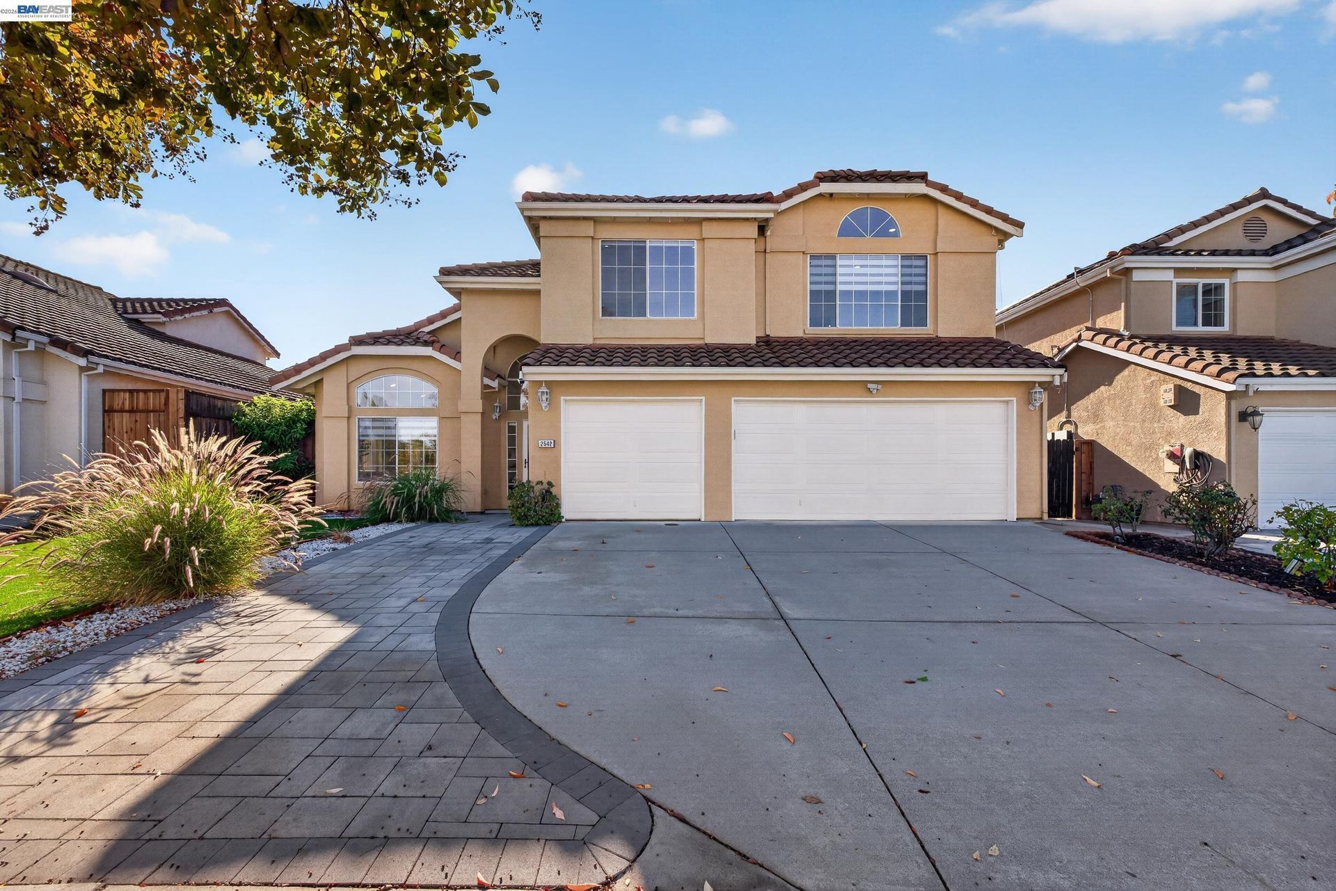
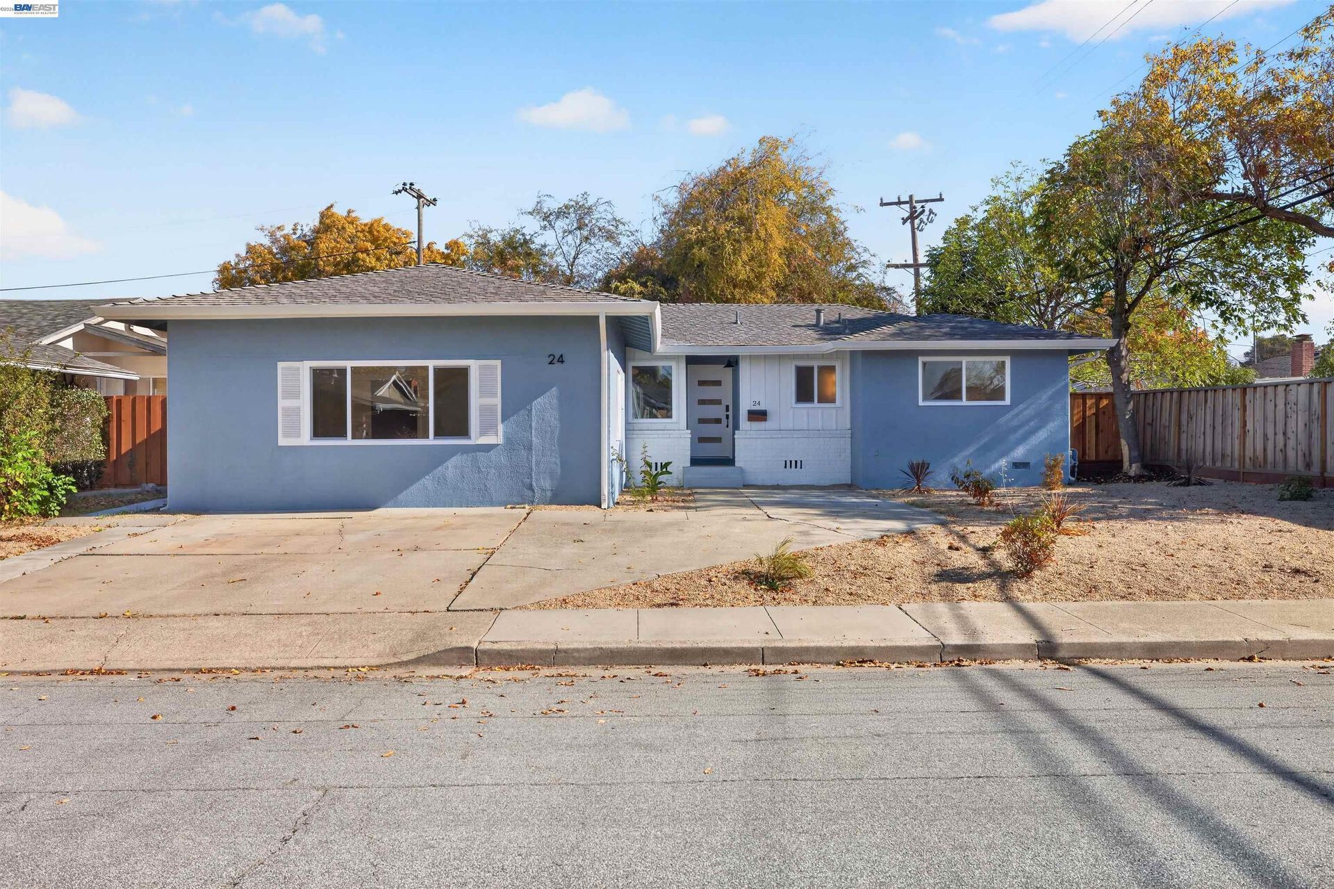
- Single Family Homes: Detached homes are found throughout established residential sections and represent many architectural and development periods.
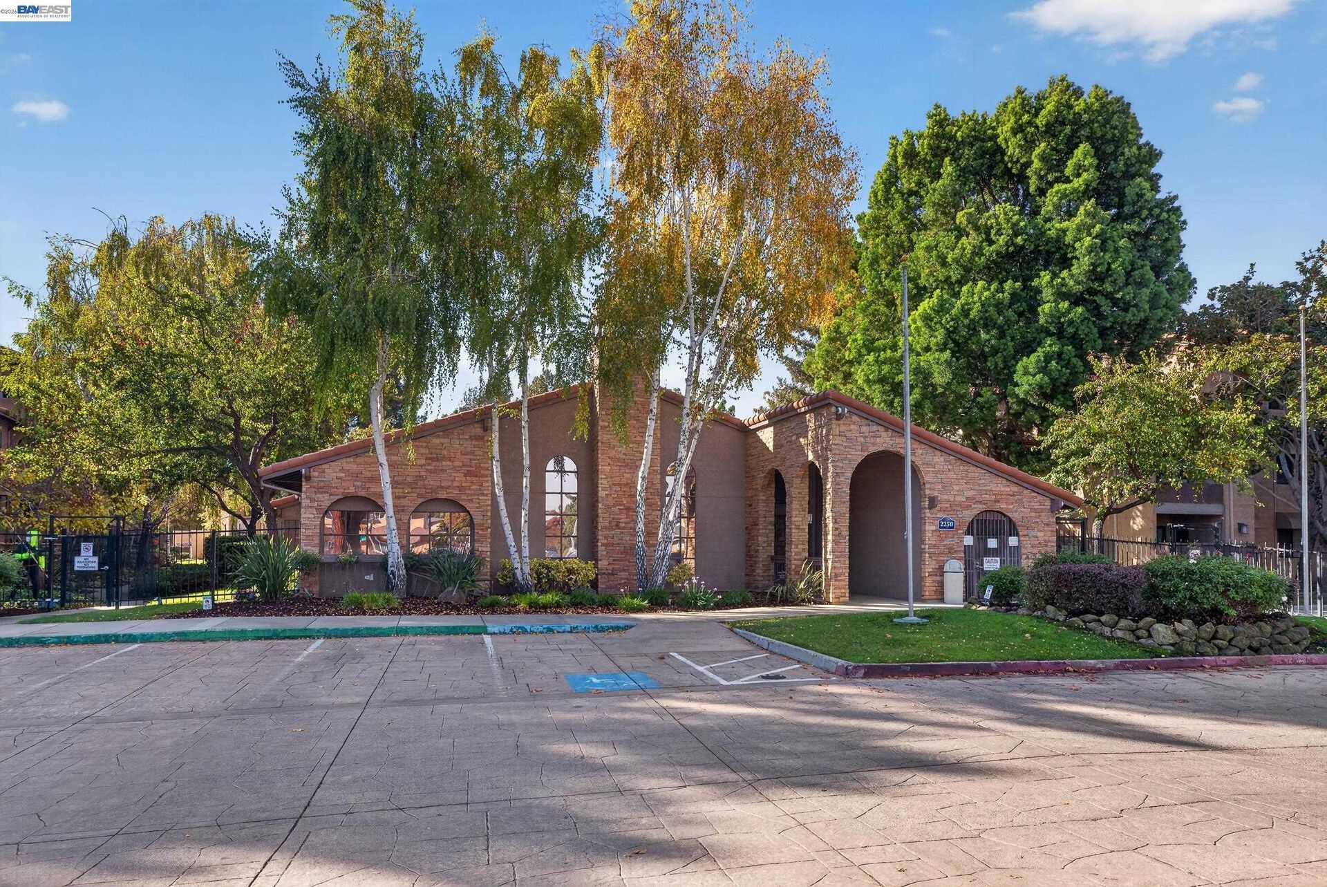
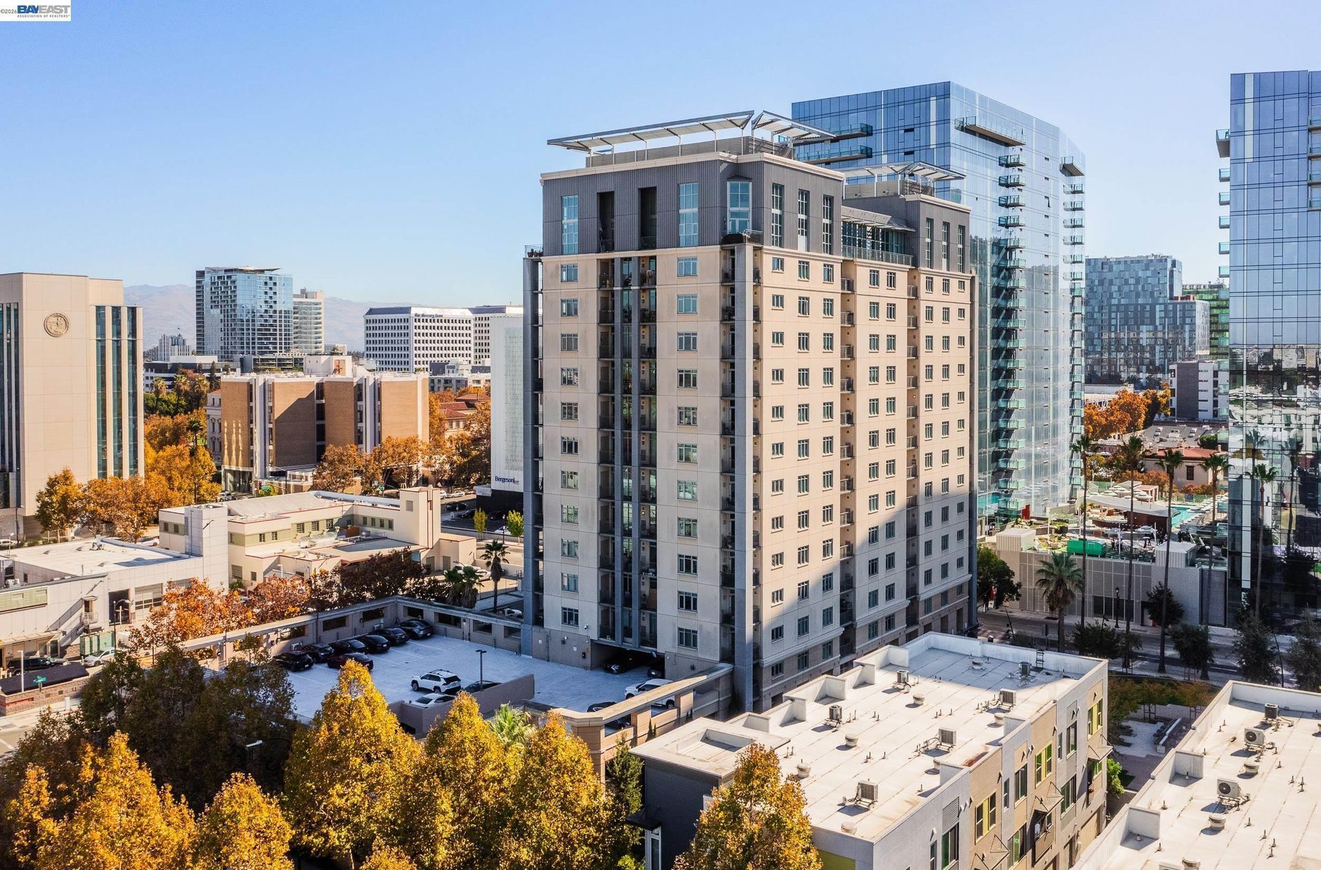
- Condos and Townhomes: Attached housing is available in selected areas, particularly closer to commercial corridors and higher density residential zones.
- Apartments and Multifamily Housing: Multifamily properties are found around downtown, Broadway, El Camino Real, California Drive, and other designated residential areas.
- Mixed Use Housing: Current zoning allows residential and commercial uses together in several districts, including Broadway, California Drive, North Burlingame, and North Rollins Road.
- Hillside Properties: Western portions of Burlingame contain properties with different elevations, lot configurations, views, access, and construction considerations.
💼 Business and Employment Areas
- Burlingame Avenue: Downtown Burlingame includes retail, restaurants, offices, services, and mixed use properties extending from California Drive toward El Camino Real.
- Broadway: This northern commercial district includes restaurants, locally oriented businesses, services, and mixed use development.
- Bayfront and Hotel Row: Bayshore and Airport Boulevards contain hotels, restaurants, offices, and other commercial uses along the Bayfront.
- Rollins Road Area: North Rollins Road includes commercial, employment, industrial, and mixed use zoning associated with ongoing development planning.
- Burlingame Plaza and El Camino Real: Retail, services, housing, and transportation uses are located along portions of El Camino Real and around Burlingame Plaza.
📊 Real Estate Overview
Burlingame real estate varies considerably between its early residential neighborhoods, hillside areas, multifamily corridors, downtown surroundings, and Bayfront commercial districts. Property analysis should account for the immediate setting rather than relying only on a citywide average.
Established Homes and Infill Development
- Many residential streets were developed during different periods of Burlingame’s growth, creating variations in architecture, lot size, home age, additions, remodeling history, and street layout.
- Newer residential construction frequently occurs through replacement homes, additions, redevelopment, and infill rather than large new subdivisions. Property comparisons should therefore consider lot size, condition, square footage, development period, parking, and nearby land uses.
Mixed Use and Commercial Property
- Burlingame Avenue, Broadway, California Drive, North Burlingame, North Rollins Road, and the Bayfront each have different zoning and development patterns.
- Commercial and mixed use properties can include retail, restaurants, offices, hotels, industrial uses, and residential components, making district-specific zoning, access, parking, tenancy, and development standards important considerations.
🌳 Parks, Open Space and Local Attractions
- Washington Park: Burlingame’s oldest park includes sports facilities, playgrounds, picnic areas, tennis courts, mature trees, and the Burlingame Community Center.
- Mills Canyon Wildlife Area: Provides a hiking loop through a natural canyon environment with native plant and wildlife habitat.
- Downtown Burlingame Avenue: The downtown district combines shopping, restaurants, landscaped streetscapes, and public gathering areas.
- Broadway District: Broadway offers a separate commercial corridor with restaurants, shops, services, and pedestrian improvements.
- Bayfront: Burlingame’s eastern edge along San Francisco Bay includes hotels, commercial properties, recreation areas, and regional Bay connections.
🏘️ Residential Areas Across Burlingame
- Easton Addition: One of Burlingame’s earlier residential areas, developed from portions of the former Easton estate and containing homes from several architectural periods.
- Ray Park: A northern residential area with established detached housing near Broadway, El Camino Real, and surrounding local streets.
- Burlingame Park: An established residential section near downtown and Washington Park with homes from several development periods.
- Burlingame Terrace: Residential streets near Broadway and California Drive include detached housing with connections to the northern commercial district.
- Mills Estates and Burlingame Hills: Western hillside areas include detached homes with differences in elevation, lot configuration, street patterns, and access.
🚆 Transportation and Regional Access
- Burlingame Station provides regular Caltrain service from its location on California Drive near downtown.
- Broadway Station currently receives weekend Caltrain service, while weekday shuttle connections provide additional access to nearby transit.
- SamTrans provides bus connections through Burlingame and toward other Peninsula destinations.
- Major road corridors include U.S. 101, Interstate 280, El Camino Real, California Drive, Broadway, Burlingame Avenue, and Trousdale Drive.
- San Francisco International Airport is immediately north of Burlingame, making airport-related transportation and Bayfront land uses an important part of the city’s regional setting.
📚 Schools and Education
- Burlingame High School: Offers coursework across mathematics, English, science, world languages, Career Technical Education, and visual and performing arts within San Mateo Union High School District.
- Burlingame Intermediate School: Provides middle school academics together with world languages, music, visual and performing arts, AVID, electives, and Career Technical Education options including robotics and engineering.
- Lincoln Elementary School: Combines core elementary instruction with visual and performing arts integration, music, band, physical education, social-emotional learning, and a school garden program.
- Roosevelt Elementary School: Provides elementary academics together with social-emotional learning, problem-solving instruction, and access to after-school enrichment programs.
- Washington Elementary School: Offers a balanced elementary curriculum supported by music, band, visual arts, physical education, student services, and additional enrichment opportunities.
✅ What Can You Do?
For Buyers
- Compare properties within the same Burlingame residential area because housing age, lot size, architecture, elevation, and street configuration can vary across the city.
- For homes near Burlingame Avenue or Broadway, review nearby commercial activity, parking, Caltrain access, and surrounding building types.
- When considering western hillside properties, examine slope, access, drainage, lot configuration, and applicable construction requirements.
- For properties closer to U.S. 101 or the Bayfront, review surrounding land uses, transportation access, and site-specific disclosures.
- Confirm current school assignments using the exact property address rather than relying only on neighborhood names or proximity to a campus.
For Sellers
- Select comparable sales from similar Burlingame residential areas, development periods, housing types, and lot settings.
- Highlight architecture, remodeling, lot characteristics, landscaping, parking, outdoor areas, and other verifiable property improvements.
- Describe access to Burlingame Avenue, Broadway, Caltrain, parks, and the Bayfront using factual location information.
- For hillside, mixed use, or corridor properties, provide clear information about site characteristics and surrounding land uses.
- For properties with additions, remodeling, or major system upgrades, organize available permits and records to document the home’s improvement history.
❓ FAQ
Q: Why is Burlingame called the City of Trees?
A: Burlingame is widely associated with its mature street trees, landscaped residential areas, and historic tree plantings. The City itself identifies Burlingame as being often referred to as the City of Trees.
Q: What are Burlingame’s main commercial districts?
A: Burlingame Avenue and Broadway are the city’s two best-established shopping and dining districts. Additional commercial activity is found along El Camino Real, Rollins Road, and the Bayfront.
Q: Does Burlingame have Caltrain service?
A: Yes. Burlingame Station provides regular Caltrain service. Broadway Station is also within Burlingame and currently receives weekend service.
🔚 Conclusion
Burlingame combines tree-lined residential areas, two established commercial districts, Caltrain connections, parks, hillside neighborhoods, mixed use corridors, and a substantial San Francisco Bayfront. Housing and property characteristics can vary considerably by development period, lot setting, elevation, surrounding land use, and proximity to commercial or transportation areas. Reviewing those local differences provides useful context when evaluating Burlingame real estate.
This blog is for general informational purposes only and does not constitute legal, tax, accounting, investment, or professional advice. Always consult with qualified professionals before making any decisions based on this content. School information including addresses, phone numbers, and emails was accurate as of the blog’s published date but may change without notice. Please verify directly with the school or institution. This content is provided “as is,” without warranties of any kind. If you are currently under an exclusive agreement with another real estate broker, this blog is not intended as a solicitation.
Contact Us