
Alamo: Larger Lots & Valley Foothills
Updated October 22, 2026
Alamo: Larger Lots & Valley FoothillsAlamo: Larger Lots & Valley Foothills
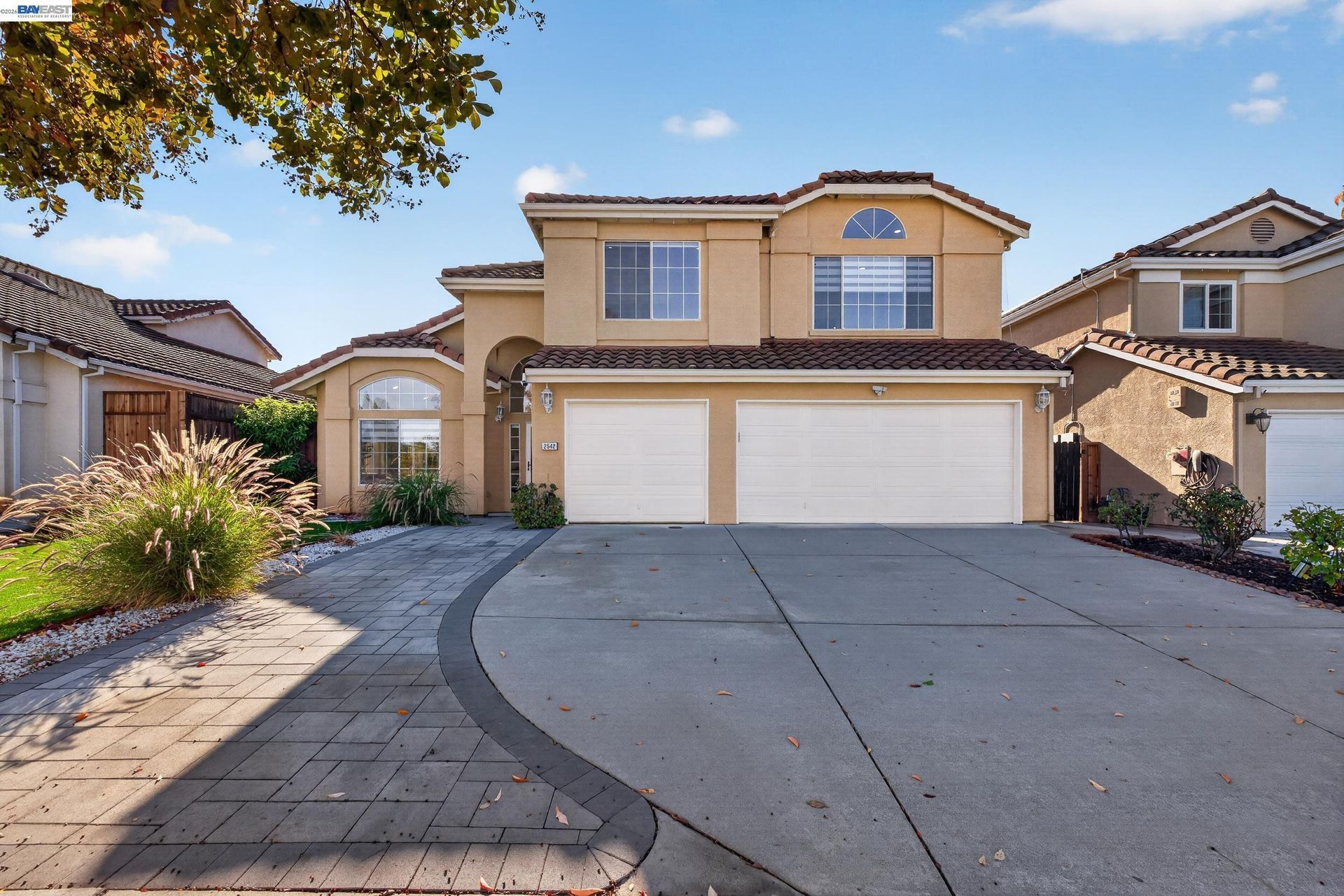
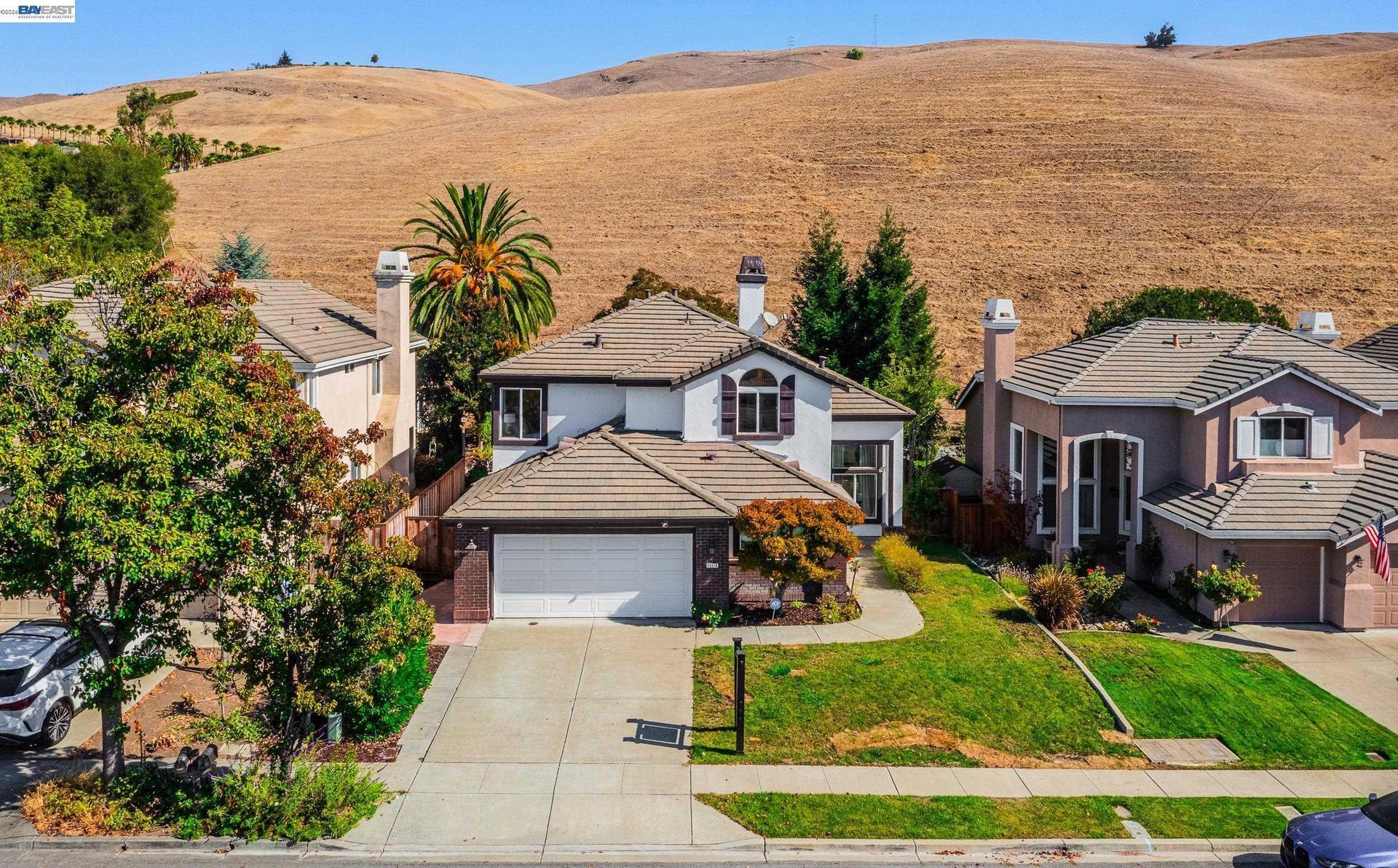
Alamo is an unincorporated Contra Costa County community in the San Ramon Valley, with primarily single family residential development, larger lots, hillside properties, mature trees, local parks, trail connections, and a commercial core near Danville Boulevard and Stone Valley Road. Property characteristics can differ considerably based on parcel size, terrain, road access, improvements, vegetation, and location within the valley or surrounding foothills.
📝 Introduction
Alamo developed from earlier ranch and orchard land into a predominantly residential community between Walnut Creek and Danville. Interstate 680, Danville Boulevard, and Stone Valley Road provide its principal regional and local connections, while residential development extends from flatter valley locations into wooded and sloping foothill settings. Because Alamo is unincorporated, land use planning and many municipal services are administered through Contra Costa County rather than a city government.
📍 What Defines Alamo
- Alamo is located in the San Ramon Valley between Walnut Creek and Danville and is part of unincorporated Contra Costa County.
- Single family residences on relatively large lots make up much of the housing pattern, with additional large rural parcels and some multifamily housing near Danville Boulevard.
- Danville Boulevard runs north to south through the community, while Stone Valley Road provides an important east to west connection.
- Alamo's primary commercial concentration is located near Danville Boulevard and Stone Valley Road, where County planning documents identify shopping, office, civic, residential, and other local serving uses.
- The Iron Horse Regional Trail passes through central Alamo and links the community with Walnut Creek, Danville, San Ramon, and other destinations along the former railroad corridor.
- Residential development extends into foothill settings where terrain, vegetation, views, drainage, wildfire conditions, and road configuration can become more significant property considerations.
🎉 Fun Fact
The Iron Horse Regional Trail follows a former Southern Pacific Railroad right of way established in 1891 and later converted into a regional trail that now passes directly through Alamo.
🏡 Residential Setting and Housing
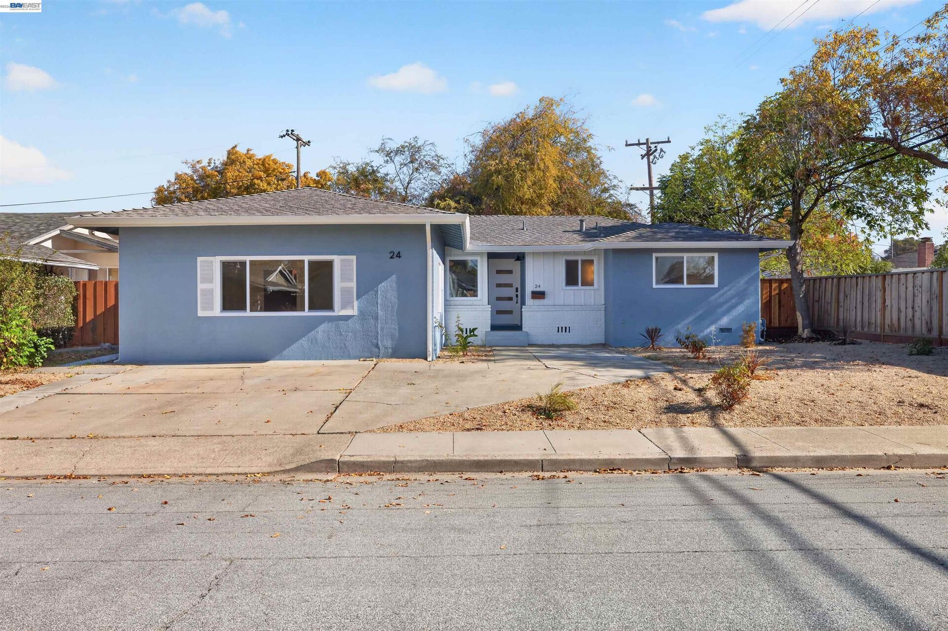
- Single Family Homes: Detached residences account for much of Alamo's housing and range from earlier ranch style homes to larger custom properties.
- Larger Lot Properties: Many parcels provide additional land for yards, pools, accessory structures, landscaping, or other site improvements.
- Hillside Homes: Properties closer to the foothills can involve slope, drainage, retaining structures, vegetation, driveway access, and differing road conditions.
- Custom and Estate Scale Properties: Larger parcels may include expanded residences, guest structures, outdoor improvements, or additional site features that require property specific comparison.
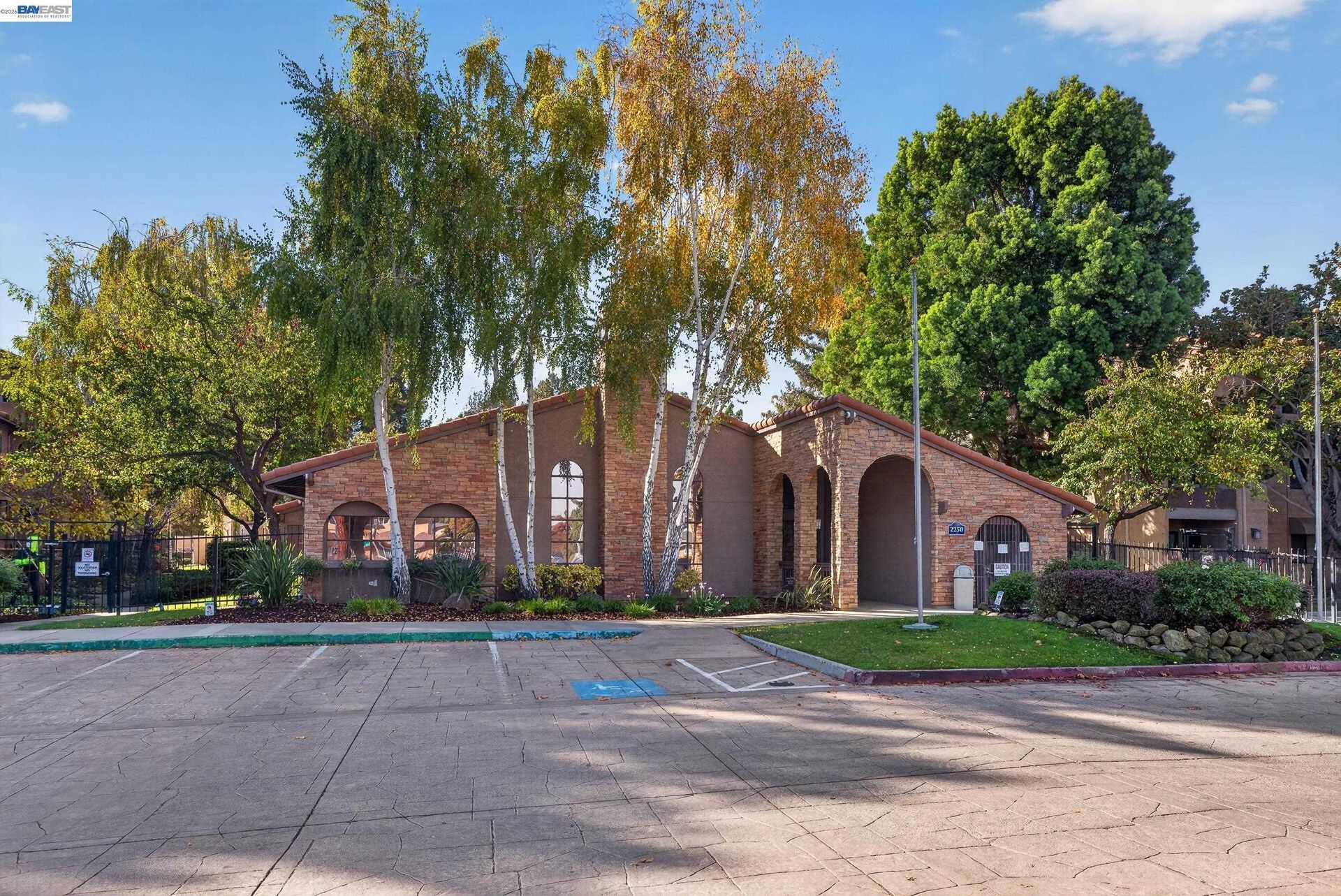
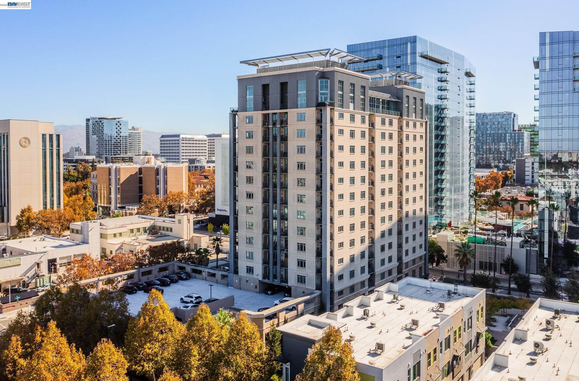
- Attached and Multifamily Housing: These housing types represent a smaller part of Alamo's inventory and are concentrated more heavily near portions of Danville Boulevard.
💼 Business and Employment Areas
- Alamo Commercial Core: The intersection of Danville Boulevard and Stone Valley Road forms the community's main concentration of commercial, office, civic, and mixed uses.
- Alamo Plaza: Located along Danville Boulevard, this established commercial location serves as a local shopping and service destination and is also a stop on County Connection transit routes.
- Danville Boulevard: Smaller businesses, offices, services, and commercial properties are distributed along portions of this primary north to south corridor.
- Stone Valley Road: This cross valley route connects residential sections with the commercial core, Interstate 680, schools, and foothill neighborhoods.
- Regional Employment Connections: Interstate 680 provides roadway access toward Walnut Creek, Danville, San Ramon, and other employment centers throughout central Contra Costa County.
📊 Real Estate Overview
Alamo real estate is primarily associated with detached homes, larger parcels, ranch style residences, custom construction, hillside properties, and selected multifamily development. County planning documents describe Alamo and neighboring Castle Hill as predominantly single family communities with relatively large lots, while larger rural tracts are also present.
Property Differences by Setting
- Homes closer to Danville Boulevard may have flatter lots, more direct access to commercial services and transit, and different road and parcel characteristics from properties farther into the foothills.
- Larger residential parcels can include pools, accessory buildings, extensive landscaping, outdoor structures, long driveways, or undeveloped portions of land that can affect property comparison.
- Hillside properties may require closer evaluation of slope, drainage, retaining walls, wildfire conditions, vegetation, driveway configuration, and emergency access.
- Properties within established subdivisions may also have architectural standards, private road arrangements, common areas, or HOA requirements depending on the individual development.
Development and Land Use Context
- Because Alamo is unincorporated, Contra Costa County administers zoning, land use planning, development review, building permits, and code enforcement.
- Current County planning priorities for Alamo include maintaining the scale of residential development, preserving mature trees and natural features, addressing wildfire risk, managing traffic, and supporting neighborhood scale commercial uses.
- For larger parcels, potential additions, accessory structures, lot changes, or redevelopment should be evaluated using the property's current County zoning and development standards rather than assumptions based solely on lot size.
🌳 Parks, Trails and Local Attractions
- Iron Horse Regional Trail: This former railroad corridor passes through central Alamo and provides a continuous walking and cycling connection toward Walnut Creek, Danville, San Ramon, and destinations farther south.
- Las Trampas to Mt. Diablo Regional Trail: Beginning near the Las Trampas side of the valley, this five mile regional route passes through Alamo and connects two major East Bay parklands.
- Livorna Park: This Alamo park is used for recreation and community events, with a gazebo, bocce facilities, courts, play areas, and open space.
- Hemme Station Park: Located along the Iron Horse Trail, this smaller park serves as a trail access point and includes interpretive play features, picnic space, and bicycle facilities.
- Andrew H. Young Park: Centered around a heritage oak, this small memorial park provides a quieter public space with seating, walking access, picnic tables, and chess tables.
- Hap Magee Ranch Park: Positioned between Alamo and Danville, this former ranch property combines preserved historic features with walking routes, recreation facilities, open lawn, and connections toward regional trails.
🏘️ Residential Settings Across Alamo
- Central Alamo and Danville Boulevard: Residential streets near the commercial core have closer access to local businesses, the Iron Horse Trail, County Connection service, and Interstate 680.
- Livorna Road and Miranda Avenue: Northern Alamo includes residential streets extending from the valley floor toward larger parcels and foothill locations.
- Stone Valley Road: Properties along and near this corridor range from central residential settings to larger lots and hillside development farther east.
- Round Hill and Round Hill North: These residential sections include custom homes, larger parcels, sloping terrain, and streets surrounding the Round Hill Country Club area. County service boundaries also identify Windsor Green and Regency Woods within the broader Round Hill district.
- East Alamo: Residential sections east of the central valley include areas around Alamo Glen, Stone Valley Oaks, Monte Sereno, Whitegate, Bryan Ranch, and surrounding hillside streets.
🚆 Transportation and Regional Access
- Interstate 680 runs through the San Ramon Valley and provides Alamo with regional roadway connections toward Walnut Creek, Danville, San Ramon, and other East Bay communities.
- Danville Boulevard serves as the principal local north to south roadway through central Alamo.
- Stone Valley Road provides an important east to west connection between residential neighborhoods, the commercial core, Interstate 680, and foothill locations.
- Livorna Road serves residential portions of northern Alamo and provides access between Interstate 680, Danville Boulevard, and hillside streets.
- County Connection Route 21 provides weekday service through Alamo along Danville Boulevard between Walnut Creek BART and the San Ramon Transit Center, with a stop at Alamo Plaza. Weekend Route 321 also serves the corridor.
- Alamo does not have a BART station within the community, so regional rail trips require a connection to stations in surrounding cities such as Walnut Creek.
📚 Schools and Education
- Monte Vista High School: Career technical options include computer science, engineering and architectural design, sports medicine, and developmental psychology of children.
- San Ramon Valley High School: Students can select from Advanced Placement coursework along with career focused classes in areas such as culinary arts, sports medicine, automotive studies, and careers in teaching.
- Stone Valley Middle School: Electives provide opportunities in art, digital photography, speech and debate, music, drama, foods, environmental studies, yearbook, and Spanish.
- Alamo Elementary School: School resources include music, science, art, technology, library services, and additional reading and math support programs.
- Rancho Romero Elementary School: Students have access to a weekly library program, technology resources, after school enrichment, student activities, and additional academic support opportunities.
✅ What Can You Do?
For Buyers
- Review Contra Costa County zoning, setbacks, lot requirements, and development standards before assuming that a larger parcel can support additional construction.
- Compare homes using lot size, terrain, road access, improvements, outdoor structures, and location within the valley or foothills rather than relying mainly on interior square footage.
- For hillside properties, examine drainage, retaining structures, vegetation, wildfire related information, driveway grades, and available geotechnical or engineering records.
- Review HOA documents, architectural restrictions, private road agreements, or shared maintenance responsibilities when they apply to the property.
- When a parcel borders trails or open space, confirm property boundaries, easements, and legal access rather than assuming adjacent land provides private access.
For Sellers
- Select comparable sales with similar lot size, terrain, construction type, location, outdoor improvements, and road access instead of relying broadly on Alamo wide pricing.
- Organize permits and records for additions, pools, accessory structures, retaining walls, major landscaping, drainage work, and other substantial improvements.
- For foothill properties, make available relevant records concerning vegetation management, drainage, slope work, private roads, or retaining improvements.
- Describe trail proximity, hillside outlooks, larger lots, and open space adjacency accurately without implying access or rights that are not part of the property.
- When discussing additional building or development potential, use current Contra Costa County zoning and planning information rather than presenting possibilities as guaranteed.
❓ FAQ
Q: Is Alamo an incorporated city?
A: No. Alamo is an unincorporated community in Contra Costa County. County agencies administer many governmental functions, while the Alamo Municipal Advisory Council advises the Board of Supervisors on local services, planning, transportation, infrastructure, parks, and related matters.
Q: What types of residential properties are common in Alamo?
A: Much of Alamo consists of single family homes on relatively large lots, including ranch style residences, custom homes, hillside properties, and homes on larger rural parcels. Some multifamily housing is also present near portions of Danville Boulevard.
Q: What trail connections are available in Alamo?
A: The Iron Horse Regional Trail runs through central Alamo, while the Las Trampas to Mt. Diablo Regional Trail crosses the community and connects regional open space on both sides of the San Ramon Valley.
🔚 Conclusion
Alamo combines larger residential parcels, established single family neighborhoods, valley and foothill settings, local commercial services, parks, trails, and access to the Interstate 680 corridor. Property characteristics can differ considerably according to lot size, terrain, vegetation, road access, improvements, zoning, and proximity to the surrounding hills. Reviewing those property specific differences provides useful context when researching Alamo real estate.
This blog is for general informational purposes only and does not constitute legal, tax, accounting, investment, or professional advice. Always consult with qualified professionals before making any decisions based on this content. School information including addresses, phone numbers, and emails was accurate as of the blog’s published date but may change without notice. Please verify directly with the school or institution. This content is provided “as is,” without warranties of any kind. If you are currently under an exclusive agreement with another real estate broker, this blog is not intended as a solicitation.
Contact Us