
Los Altos: Orchard Roots & Village Setting
Updated October 14, 2026
Los Altos: Orchard Roots & Village Setting
Los Altos is a primarily residential Silicon Valley city known for its downtown village setting, tree lined streets, orchard history, local parks, neighborhood shopping districts, and a housing inventory that remains heavily weighted toward detached single family homes. The city also includes condominiums, townhomes, multifamily housing, accessory dwelling units, and additional housing planned through its current Housing Element.
📝 Introduction
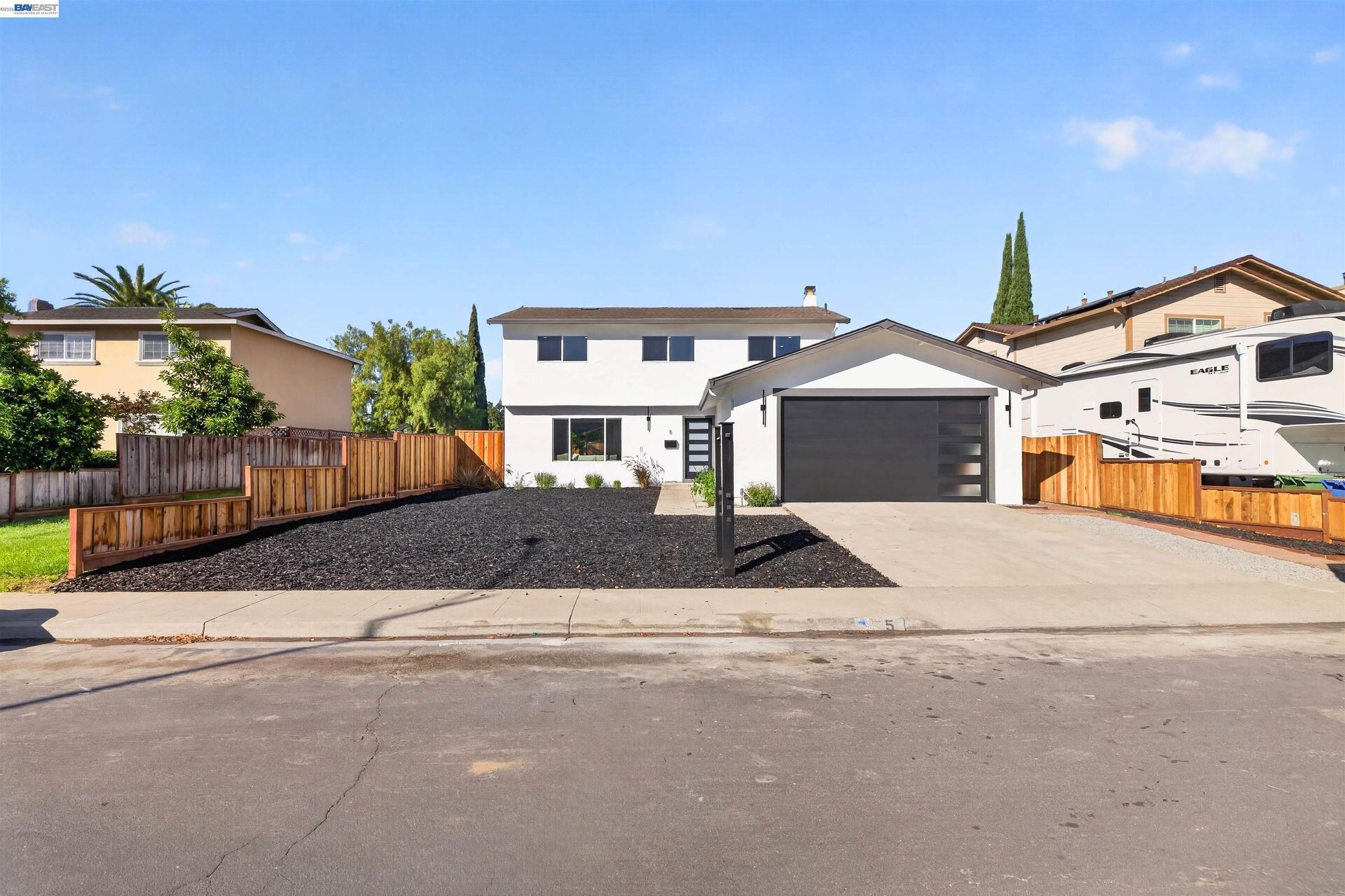
Los Altos developed from orchard land and an early railroad town into a residential city with a compact downtown, established neighborhoods, local shopping districts, parks, and nearby access to Silicon Valley employment centers. Downtown Main Street and State Street retain a smaller scale commercial pattern, while residential areas extend toward El Camino Real, Grant Road, Loyola Corners, and the western edge of the Santa Clara Valley. Housing varies by lot size, development period, architecture, remodeling history, and proximity to commercial corridors, making property specific comparison important when researching Los Altos real estate.
📍 Los Altos in Focus
- Downtown Los Altos centers on Main Street and State Street, with shops, restaurants, services, offices, and public gathering areas.
- The city identifies seven shopping districts, including Downtown Los Altos, Loyola Corners, Rancho Shopping Center, Village Court, Woodland Plaza, Foothill Crossing, and El Camino Real.
- Tree lined residential streets and lower scale development remain common throughout much of the city.
- Local parks include Shoup Park, Grant Park, Heritage Oaks Park, Rosita Park, Hillview Park, and Redwood Grove Nature Preserve.
- Foothill Expressway, El Camino Real, San Antonio Road, and Grant Road provide important local and regional connections.
- The downtown core maintains a small scale village form centered around Main Street and State Street.
🎉 Fun Fact
Modern Los Altos began taking shape in 1906 when Southern Pacific Railroad executive Paul Shoup and the Altos Land Company acquired land for a new community along a proposed rail line. The first town lots were sold in 1907 near today’s Main Street and Foothill Expressway. The name Los Altos means “the heights” in Spanish.
The city also retains a physical connection to its agricultural past through the historic apricot orchard near the Civic Center, one of the remaining reminders of the orchards that once covered much of the area.
🏡 Residential Setting and Housing
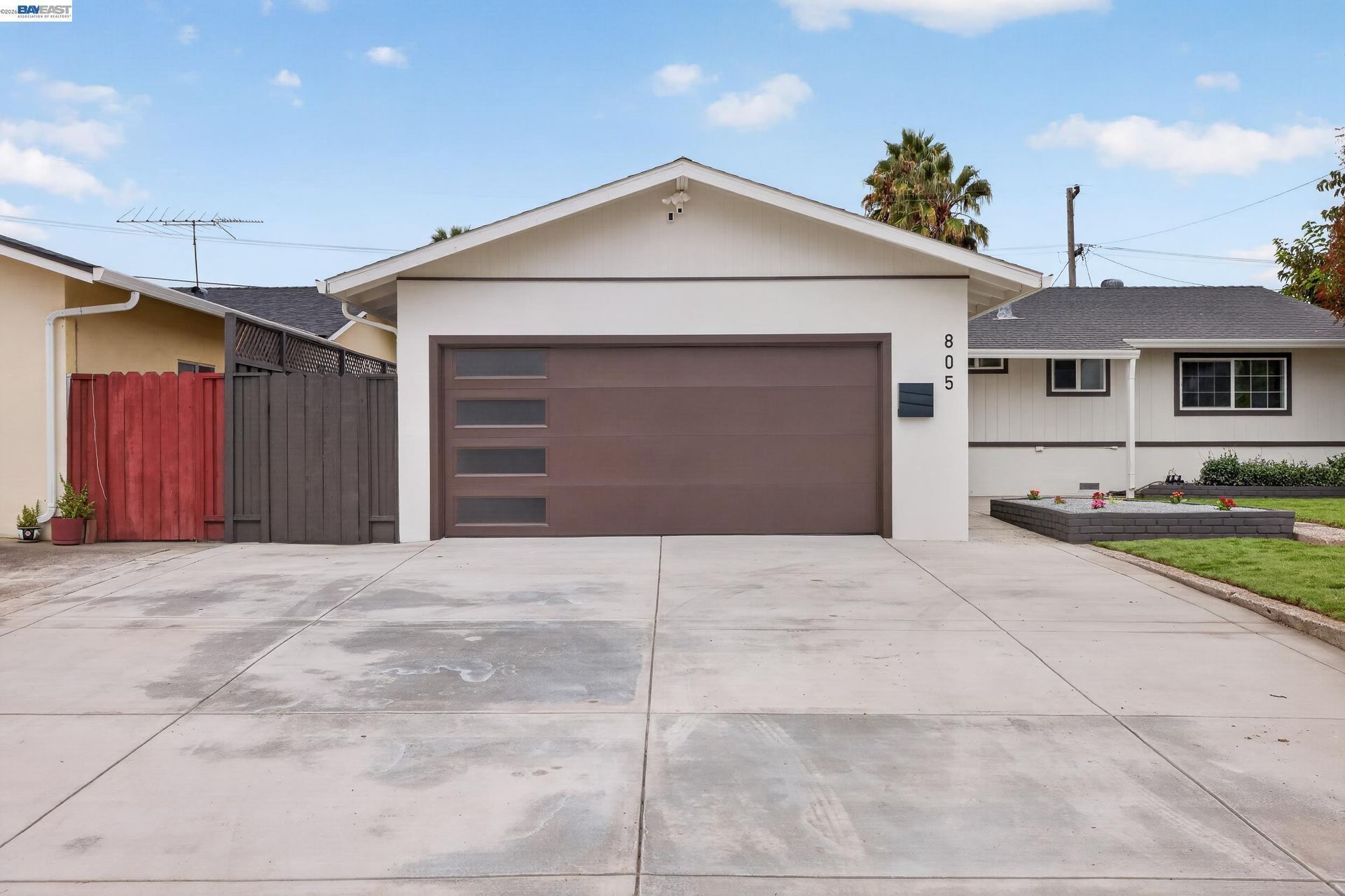
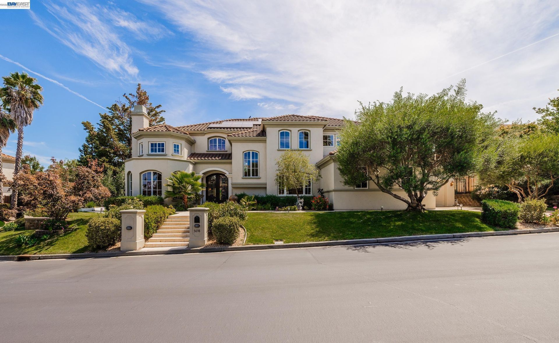
- Single Family Homes: Detached homes make up the largest share of the city’s housing stock and range from older residences to rebuilt and extensively remodeled properties.
- Condos and Townhomes: Attached housing is available in selected areas, particularly closer to commercial corridors and higher density zoning districts.
- Multifamily Housing: Apartments and other multifamily properties are part of the local housing inventory, with additional housing capacity planned through mixed use and designated housing sites.
- Accessory Dwelling Units: ADUs provide another housing type on qualifying residential properties.
- Larger Lots and Rebuilt Homes: Some residential sections contain larger parcels where original homes have been expanded, remodeled, or replaced over time.
💼 Business and Commercial Areas
- Downtown Los Altos: Main Street, State Street, First Street, and nearby blocks contain restaurants, retail, offices, personal services, and public gathering spaces.
- Loyola Corners: This commercial area serves the southern portion of Los Altos with local retail, restaurants, and services.
- Rancho Shopping Center: Located along Foothill Expressway, Rancho provides retail, restaurants, groceries, and services.
- El Camino Real: The northern edge of Los Altos includes commercial and mixed use properties along this regional corridor.
- Other Shopping Districts: Village Court, Woodland Plaza, and Foothill Crossing add smaller commercial areas throughout the city.
📊 Real Estate Overview
Los Altos real estate is largely defined by detached residential properties, but citywide averages do not capture the differences between individual homes. Lot size, square footage, remodeling history, architecture, street location, outdoor space, parking, and proximity to commercial corridors can all influence comparable selection.
Residential
- The city’s 2020 housing data showed detached single family homes making up the majority of housing, with additional attached and multifamily properties representing smaller portions of the inventory.
- When evaluating a property, recent comparable sales should reflect similar lot size, housing type, condition, age, and location whenever possible.
Commercial
- Commercial properties include downtown retail and office space, neighborhood shopping centers, service businesses, restaurants, and mixed use sites.
- Los Altos is also implementing housing planning changes that affect some mixed use and commercial areas, making current zoning and development standards important when evaluating commercial or redevelopment property.
🌳 Parks, Nature and Local Attractions
- Shoup Park: Located on University Avenue, Shoup Park includes a grass field, playgrounds, picnic areas, public art, and a trail connection to Redwood Grove Nature Preserve.
- Redwood Grove Nature Preserve: This 6.12 acre preserve includes a boardwalk, trails along Adobe Creek, picnic areas, and native habitat restoration areas.
- Grant Park: Provides athletic fields, basketball, picnic areas, a playground, public art, and community facilities.
- Los Altos History Museum: Located near the Civic Center, the museum presents exhibits connected with the city’s agricultural, railroad, and residential history.
- Downtown Los Altos: Main Street and State Street include shops, restaurants, services, public spaces, and historic buildings connected with the city’s early development.
- Civic Center Apricot Orchard: The orchard preserves a visible link to the agricultural landscape that preceded much of the city’s residential development.
🏘️ Housing Areas Across Los Altos
- North Los Altos: This section includes established residential streets extending toward El Camino Real and the Mountain View border, with access to downtown and San Antonio Road.
- Downtown and Central Los Altos: Residential streets surround the Main Street and State Street commercial core and include homes from different development periods.
- Loyola Corners Area: The southern part of the city includes residential streets near the Loyola Corners commercial district and Foothill Expressway.
- South Los Altos: Residential areas closer to Grant Road, Fremont Avenue, and the southern city limits include detached homes with varying lot sizes and development periods.
- El Camino Real Area: Properties closer to El Camino Real include a greater mix of attached housing, multifamily development, commercial uses, and planned housing sites.
🚗 Transportation and Regional Access
- Los Altos is primarily connected to surrounding communities through local roads and nearby regional transportation systems.
- Foothill Expressway runs along much of the western side of the city, while El Camino Real forms an important corridor along the northern edge.
- San Antonio Road provides connections toward Mountain View, Palo Alto, and nearby Caltrain service.
- Interstate 280 is located west and south of the city and provides regional freeway access toward San Francisco, San Jose, and other Peninsula and South Bay locations.
- Caltrain stations at San Antonio and Mountain View are outside Los Altos but provide nearby rail options for regional travel.
📚 Schools and Education
- Los Altos High School: Offers Advanced Placement, AVID, Career Technical Education, engineering, robotics, computer science, journalism, culinary arts, and additional academic programs.
- Egan Junior High School: One of two Los Altos School District junior high campuses, with access to district STEM, computer science, arts, music, and intramural athletics programs.
- Almond Elementary School: Part of Los Altos School District and participates in district programs that include STEM, computer science, arts, music, and expanded learning opportunities.
- Bullis Charter School: A public charter school with two Los Altos campuses serving transitional kindergarten through grade 8, including project based learning, makerspace activities, visual and performing arts, technology, and student directed learning goals.
- Pinewood School: A private school with Los Altos and Los Altos Hills campuses offering kindergarten through grade 12 education, including computer science, engineering, visual and performing arts, and a social entrepreneurship program for older students.
✅ What Can You Do?
For Buyers
- Compare lot size, home condition, development period, architecture, and property improvements when reviewing Los Altos homes.
- Distinguish between detached residential areas and properties closer to downtown, El Camino Real, or other commercial corridors.
- Review access to Foothill Expressway, El Camino Real, Interstate 280, and nearby Caltrain stations according to your transportation needs.
- Verify school district and enrollment information using the individual property address rather than relying on a Los Altos mailing address alone.
- Use recent comparable sales with similar lot, housing type, location, and condition when evaluating a property.
For Sellers
- Identify property features such as lot size, architecture, remodeling, outdoor areas, parking, and proximity to local commercial districts.
- Use comparable sales that reflect the property’s section of Los Altos, lot characteristics, housing type, and condition.
- Describe downtown, parks, shopping districts, transportation, and nearby amenities factually without making assumptions about buyer preferences.
- Verify school district information before including school names or assignments in property marketing.
- Present the home’s individual characteristics rather than relying on broad claims about neighborhood desirability or who should live in the area.
❓ FAQ
Q: What is Los Altos known for historically?
A: Los Altos developed from orchard land and a railroad related town established in the early 1900s. Remnants of that history remain through historic downtown buildings and the Civic Center apricot orchard.
Q: Does Los Altos have one main shopping district?
A: Downtown is the most prominent commercial center, but the city identifies seven shopping districts, including Loyola Corners, Rancho Shopping Center, Village Court, Woodland Plaza, Foothill Crossing, and El Camino Real.
Q: What types of housing are found in Los Altos?
A: Los Altos includes detached single family homes, attached homes, condominiums, apartments, other multifamily housing, and accessory dwelling units. Detached homes make up the largest share of the city’s housing inventory.
🔚 Conclusion
Los Altos combines a predominantly residential setting with a compact downtown, multiple shopping districts, local parks, historic orchard connections, and nearby access to major Silicon Valley employment and transportation corridors. Housing varies considerably in lot size, architecture, development period, condition, and proximity to commercial areas. For real estate research, those property level differences provide more useful context than broad assumptions about the city as a whole.
This blog is for general informational purposes only and does not constitute legal, tax, accounting, investment, or professional advice. Always consult with qualified professionals before making any decisions based on this content. School information including addresses, phone numbers, and emails was accurate as of the blog’s published date but may change without notice. Please verify directly with the school or institution. This content is provided “as is,” without warranties of any kind. If you are currently under an exclusive agreement with another real estate broker, this blog is not intended as a solicitation.
Contact Us