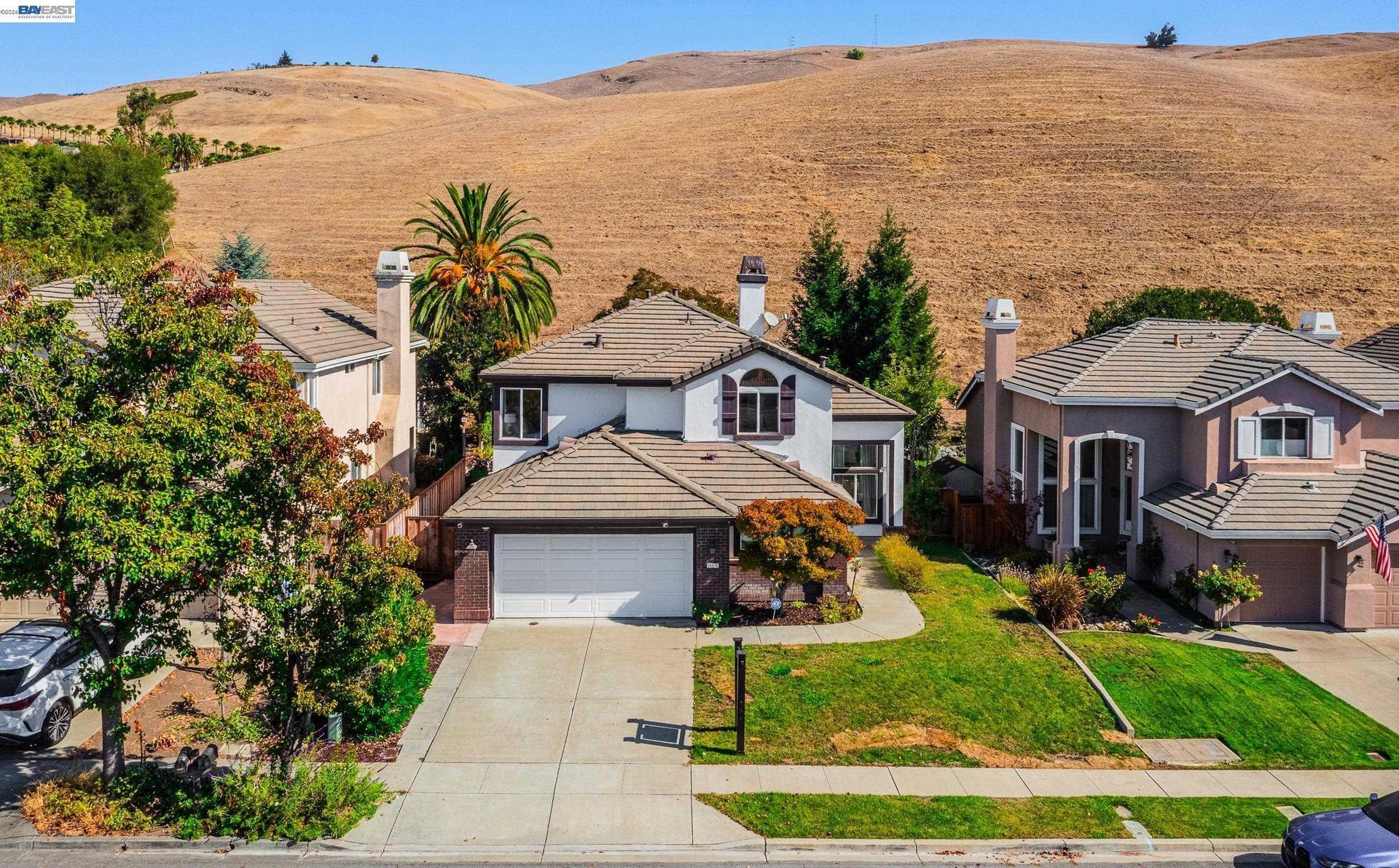

San Ramon: Gateway to the Tri-Valley
Updated November 9, 2026

San Ramon: Gateway to the Tri-Valley
San Ramon is a Contra Costa County city within the Tri-Valley, with established residential neighborhoods, newer planned communities, Bishop Ranch, City Center, parks, trails, and direct access to Interstate 680. Housing ranges from older subdivisions in southern San Ramon to newer detached homes, townhomes, condominiums, and association-governed properties in Dougherty Valley and other planned areas.
📝 Introduction
San Ramon's present layout reflects several periods of development. Agricultural land and ranches defined much of the San Ramon Valley before suburban construction expanded during the second half of the twentieth century. Interstate 680, Bishop Ranch, residential subdivisions, Dougherty Valley development, and the later creation of City Center changed the city's physical and economic setting. San Ramon incorporated in 1983 and today combines residential areas, major employment districts, parks, schools, commercial centers, and open-space connections.
📍 What Defines San Ramon
- Interstate 680 runs through San Ramon and provides the city's primary regional freeway connection.
- Bishop Ranch has been a major employment and commercial district in San Ramon since development began in the early 1980s.
- City Center Bishop Ranch provides retail, restaurants, entertainment, and public gathering space within the Bishop Ranch area.
- Dougherty Valley contains substantial newer residential development, parks, schools, trails, and planned neighborhoods on the eastern side of the city.
- The Iron Horse Trail follows the former Southern Pacific rail corridor and extends more than four miles through San Ramon as part of a longer regional trail system.
🎉 Fun Fact
Bishop Ranch once contained what was recognized as the world's largest single orchard of Bartlett pears. The orchard was planted beginning in 1911 and had gained that distinction by the 1940s, reflecting San Ramon's earlier agricultural economy before suburban and commercial development transformed the area.
🏡 Residential Setting and Housing
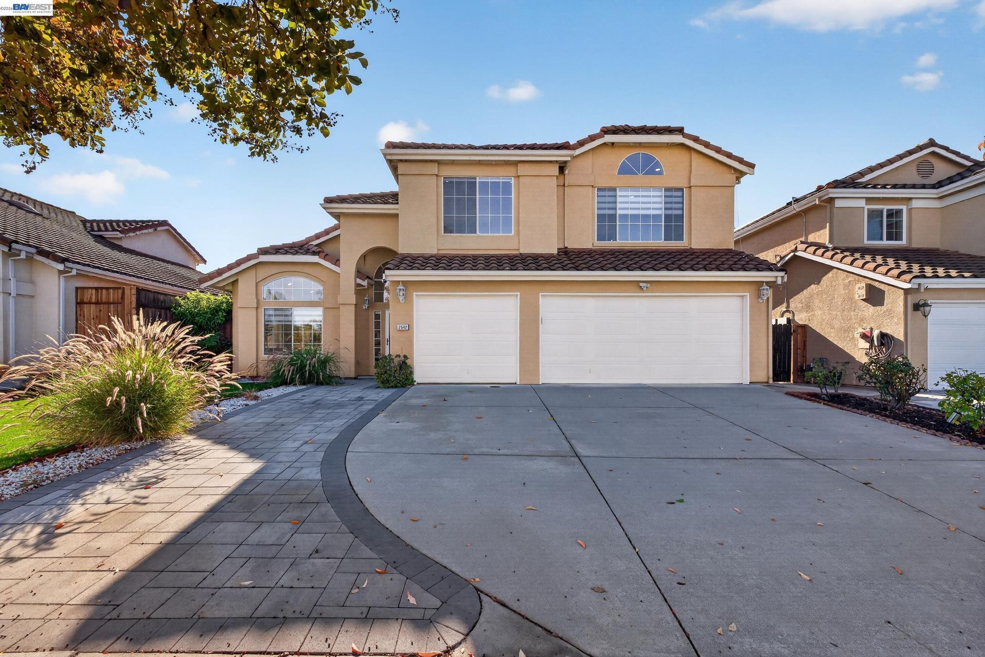
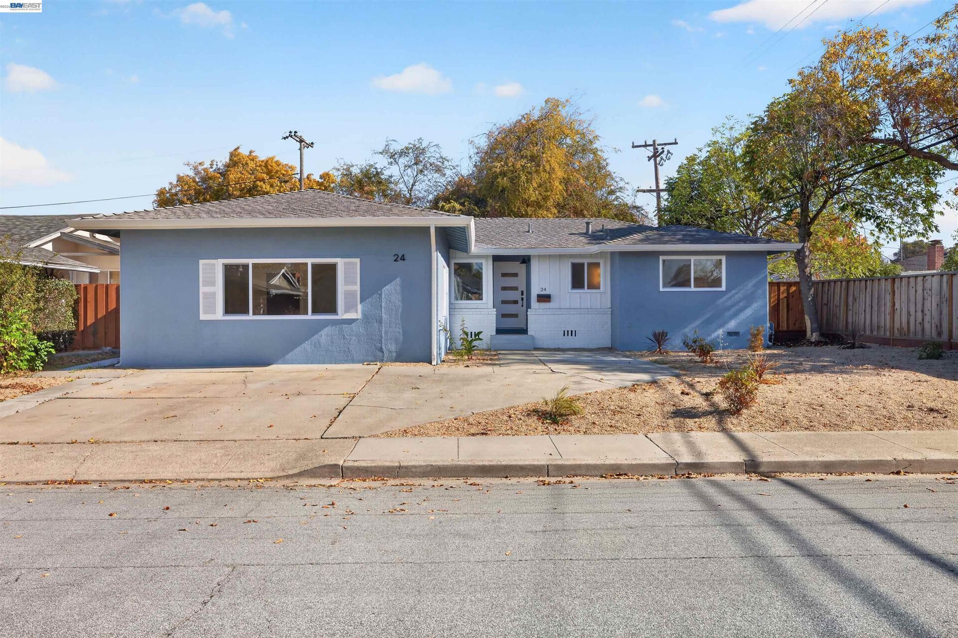
- Detached Homes: San Ramon contains detached homes built during several periods of suburban development. Construction age, original floor plan, lot size, garage configuration, additions, remodeling, and landscaping can create substantial differences between nearby properties.
- Newer Planned Homes: More recent residential communities include detached homes developed within planned neighborhoods with parks, schools, trails, landscaped streets, and other community infrastructure. Individual properties can differ in association coverage, lot position, upgrades, and development-specific requirements.
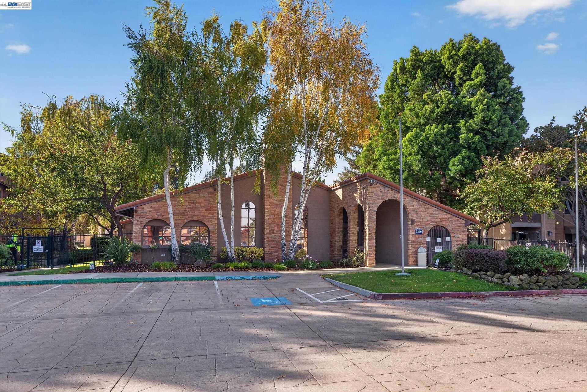
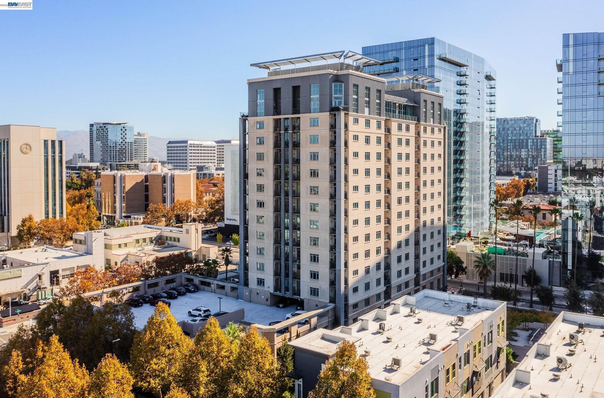
- Condominiums and Townhomes: Attached ownership housing is located throughout San Ramon, including newer planned communities and areas closer to employment and commercial districts. Homeowners association documents, insurance, reserves, assessments, parking, and shared maintenance can vary by development.
- Remodeled and Expanded Homes: Older residences may include additions, garage changes, accessory dwelling units, solar installations, updated building systems, and other improvements completed over several decades. Permit history can help clarify how a property differs from its original construction.
- Hillside and Open-Space Properties: Homes near the city's western and eastern hills can involve slope, drainage, retaining structures, vegetation, grading, road access, and relationships to adjoining open land that differ from properties on flatter interior streets.
💼 Business and Employment Areas
- Bishop Ranch: This large business district has played a major role in San Ramon's employment base since the early 1980s and contains offices occupied by companies across numerous industries.
- City Center Bishop Ranch: The Renzo Piano-designed center contains approximately 300,000 square feet of retail, restaurant, fitness, and entertainment uses within Bishop Ranch.
- City Core: San Ramon's City Core covers a large area east of Interstate 680 that contains Bishop Ranch, City Hall, Central Park, shopping centers, offices, hotels, transit facilities, and other commercial uses.
- Crow Canyon Road: Offices, medical uses, retail centers, services, and residential properties extend along and near this major east-west corridor.
- San Ramon Valley Boulevard: Businesses, restaurants, professional services, retail properties, and older commercial areas extend along portions of this north-south route.
📊 Real Estate Overview
San Ramon real estate varies substantially by development period and location. Older subdivisions in southern and western San Ramon can differ from newer planned communities in Dougherty Valley, while condominiums and townhomes near commercial districts may involve different association, parking, insurance, and maintenance considerations. Construction history, homeowners association requirements, lot conditions, terrain, zoning, and surrounding development should be reviewed at the individual property level.
Property Differences by Setting
- Older homes in San Ramon Village, Twin Creeks, and nearby established areas may have undergone decades of additions, remodeling, garage changes, solar installations, landscaping work, and accessory dwelling unit construction. Permit records can help clarify how the current residence differs from its original configuration.
- Gale Ranch, Windemere, and other newer planned communities can involve homeowners association documents, architectural standards, common-area obligations, assessments, and development-specific rules. Similar-looking homes can still differ in association coverage, lot position, upgrades, and nearby land use.
- Properties along or near the city's hills and open-space edges can introduce additional considerations involving slope, drainage, retaining structures, vegetation, grading, and road access. Homes closer to Interstate 680 or major commercial corridors have a different relationship to traffic, offices, retail uses, and transportation infrastructure.
Development and Land Use Context
- Land use in San Ramon varies from established residential neighborhoods and planned communities to Bishop Ranch, City Center, commercial corridors, and open-space edges. Properties near Bishop Ranch and the City Core can have different zoning, density, parking, association, and surrounding land-use considerations from older interior neighborhoods.
- The City Core is planned for continued long-term change involving housing, retail, parks, pedestrian connections, and existing employment uses. Buyers and sellers should review current zoning, approved projects, and nearby development activity for the individual property rather than relying on broader planning concepts.
🌳 Parks, Trails and Local Attractions
- Central Park: Located near City Hall and Bishop Ranch, this 40.8-acre park contains sports fields, playgrounds, picnic areas, tennis courts, basketball courts, pickleball courts, and trail access.
- Iron Horse Trail: The paved regional trail extends 4.24 miles through San Ramon and connects residential areas, schools, commercial districts, public transportation, and other regional trails.
- Forest Home Farms Historic Park: This municipal historic park preserves part of the San Ramon Valley's agricultural history through farm buildings, exhibits, a tractor museum, and educational programs.
- LaBerge Park: Located in Dougherty Valley, this neighborhood park provides recreation space within one of San Ramon's newer residential areas.
- Rancho San Ramon Community Park: This park serves the eastern portion of the city with sports facilities, recreation areas, open lawns, and walking connections.
🏘️ Residential Settings Across San Ramon
- Southern San Ramon and San Ramon Village: Some of the city's earlier suburban neighborhoods are located near California High School, Alcosta Boulevard, and the southern portion of San Ramon, with established detached homes representing several decades of residential development.
- Twin Creeks and Western San Ramon: Residential streets west of Interstate 680 include detached homes with different lot sizes, floor plans, remodeling histories, and relationships to the surrounding hills.
- Gale Ranch: This eastern San Ramon area contains planned neighborhoods with detached homes, townhomes, parks, schools, trails, and association-governed properties.
- Windemere and Dougherty Valley: Newer residential development includes detached homes, attached housing, schools, parks, trails, and planned streets across the eastern side of San Ramon.
- City Core and Bishop Ranch Area: Newer residential development is becoming part of an area historically associated with offices, employment, retail, and commercial uses. Housing here can have different parking, association, building, and surrounding land-use considerations from older residential subdivisions.
🚆 Transportation and Regional Access
- Interstate 680 provides the primary freeway route through San Ramon toward Dublin and Pleasanton to the south and Danville and Walnut Creek to the north.
- Bollinger Canyon Road connects residential areas, Bishop Ranch, City Center, Interstate 680, and Dougherty Valley.
- Crow Canyon Road provides another major east-west connection between residential areas, Interstate 680, and communities west of San Ramon.
- Dougherty Road connects eastern San Ramon with Dougherty Valley and Dublin.
- San Ramon does not have a BART station within the city.
- County Connection provides bus service from the San Ramon Transit Center and Bishop Ranch to Dublin/Pleasanton BART and Walnut Creek BART. Current routes include Route 21, Route 35, and several express services.
📚 Schools and Education
- Dougherty Valley High School: The Albion Road campus offers Advanced Placement and honors coursework along with Career Technical Education, visual and performing arts, world languages, athletics, and opportunities for concurrent or dual enrollment coursework.
- California High School: Established in 1973, California High School is a four-year comprehensive campus on Broadmoor Drive. Its current student activities extend across clubs, athletics, drama, music, leadership, and other extracurricular programs.
- Iron Horse Middle School: Students can select from electives that include art, environmental science, foods, technology, digital photography, drama and stagecraft, music, leadership, and world language in addition to core middle-school coursework.
- Pine Valley Middle School: This Pine Valley Road campus combines its middle-school academic program with student activities, after-school sports, Odyssey of the Mind, arts programming, library resources, and other campus programs.
- Montevideo Elementary School: Located on Broadmoor Drive, Montevideo serves transitional kindergarten through fifth grade and provides grade-level academics together with library, technology, counseling, and early-intervention resources.
✅ What Can You Do?
For Buyers
- Identify the development period of the home before comparing it with other San Ramon properties, since an older San Ramon Village residence and a newer Dougherty Valley property can involve very different construction and ownership considerations.
- For Gale Ranch, Windemere, and other planned communities, review homeowners association boundaries, governing documents, assessments, architectural rules, and common-area responsibilities for the specific property.
- When considering homes near the western or eastern hills, examine slope, drainage, retaining structures, grading records, vegetation, and driveway configuration in addition to the building itself.
- For properties near Bishop Ranch or the City Core, distinguish current surroundings from approved development and longer-term planning before making assumptions about future land use.
- If transit access is important, compare the property's actual route to the San Ramon Transit Center or available County Connection service because San Ramon does not have its own BART station.
For Sellers
- For older San Ramon homes, organize permits and improvement records so buyers can distinguish original construction from later additions, remodeling, garage changes, solar installations, or accessory dwelling units.
- When selling an association-governed property, prepare current CC&Rs, budgets, assessments, insurance information, architectural records, and other required association documents early in the transaction.
- For properties adjoining hills or open-space areas, provide available documentation relating to drainage, retaining structures, grading, fences, and major site improvements.
- If the home is near Bishop Ranch or the City Core, describe existing businesses and amenities separately from planned or proposed projects.
- Use comparable sales that reflect the property's development period, homeowners association status, lot setting, housing type, and immediate San Ramon location rather than relying mainly on a citywide price figure.
❓ FAQ
Q: What is Bishop Ranch's connection to San Ramon history?
A: The land was once part of a large agricultural property where cattle, sheep, walnuts, and Bartlett pears were produced. Development of the modern Bishop Ranch business park began in the early 1980s and later became a major employment district in San Ramon.
Q: Does San Ramon have a BART station?
A: No. San Ramon does not have a BART station within the city. County Connection bus routes provide connections from San Ramon to Dublin/Pleasanton and Walnut Creek BART stations.
Q: How do older and newer San Ramon housing areas differ?
A: Older areas such as San Ramon Village and Twin Creeks can involve decades of remodeling, additions, and changing building systems. Newer planned areas such as Gale Ranch and Windemere more often involve association documents, planned streets, newer construction standards, and development-specific property rules.
🔚 Conclusion
San Ramon real estate reflects the city's transition from an agricultural valley to a residential and employment center within the Tri-Valley. Older subdivisions, newer planned communities, Bishop Ranch, City Core development, hillsides, parks, and regional transportation corridors create different property settings across the city. Reviewing construction history, association requirements, site conditions, permits, and current planning information provides a clearer basis for evaluating an individual San Ramon property.
This blog is for general informational purposes only and does not constitute legal, tax, accounting, investment, or professional advice. Always consult with qualified professionals before making any decisions based on this content. School information including addresses, phone numbers, and emails was accurate as of the blog’s published date but may change without notice. Please verify directly with the school or institution. This content is provided “as is,” without warranties of any kind. If you are currently under an exclusive agreement with another real estate broker, this blog is not intended as a solicitation.
Contact Us